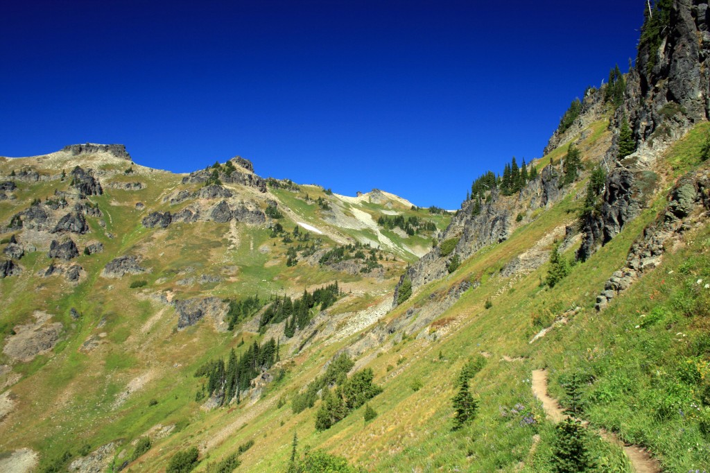
Tumalo Falls to Happy Valley

Quick Stats

Distance: 8 miles roundtrip (can also make a loop out of it if you want)

Time: 3 1/2-4 hours

Difficulty: Easy to moderate

Season: June to October

Permit: Northwest Forest Pass

Dog Friendly: Yes. Off-leash fun for most of the trail, but there are steep drop offs in places and the trail is used by mountain bikers….

Pros: Beautiful waterfalls, gentle trail, close to Bend, views of neighboring mountains and a pretty meadow.

Cons: Multi-use trail, parking lot can be full even on a weekday.

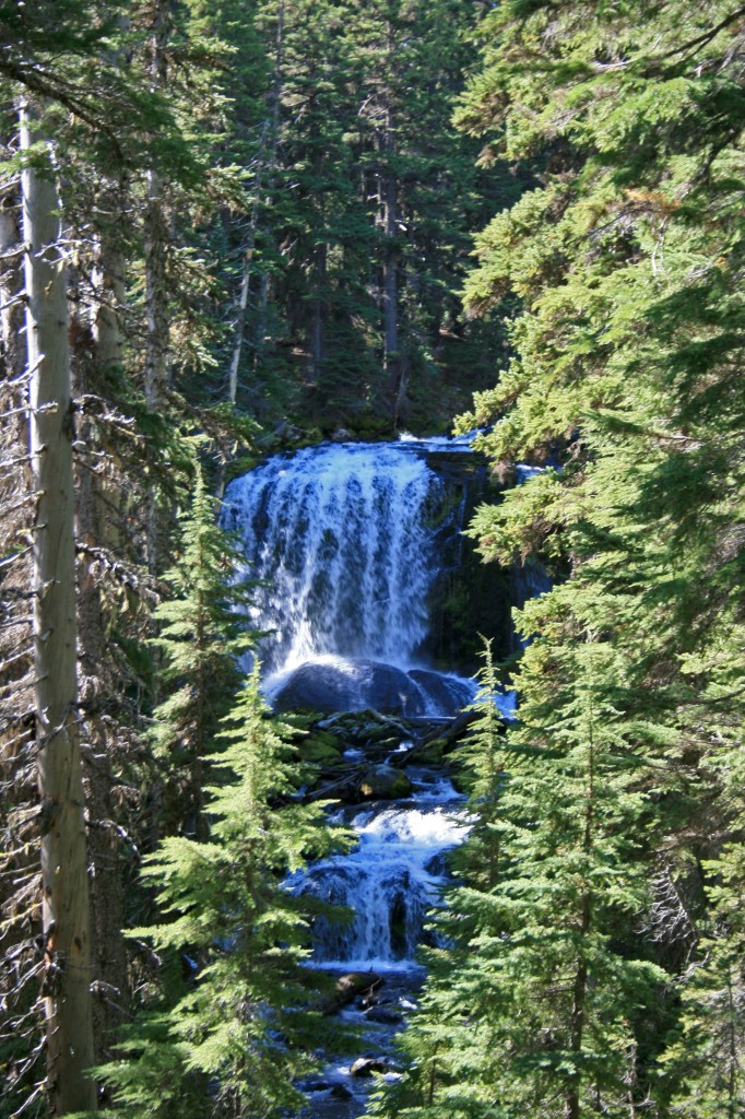
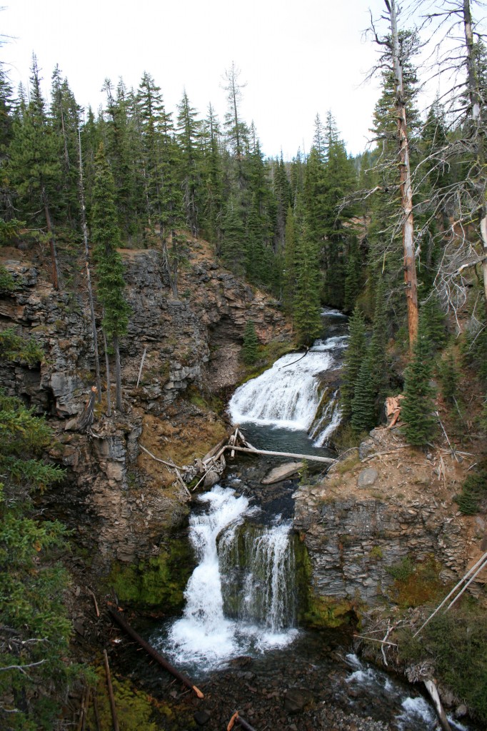
I’ve been eye-balling this area for a couple of years now, so I was pretty stoked to finally check it out. We hiked from the parking area up to Happy Valley, which is just under 4 miles one way. The trail winds through the forest at times, but mostly follows along the creek, allowing stupendous views of waterfalls and occasional access for a doggy dip.

Happy Valley trail waterfall

Waterfall peeking through the trees along the trail to Happy Valley.

Happy Valley waterfall2

One of the many waterfalls along the trail.

The trail is easy going, a nice gradual grade with some flat spots too… ie. much easier than most of the hikes we do. We had a non-hiker friend with us and she loved the hike and didn’t complain…maybe we can convert her?

It was a perfect cool fall day….rain was predicted for mid afternoon, so we turned around at Happy Valley after having a creek-side picnic.

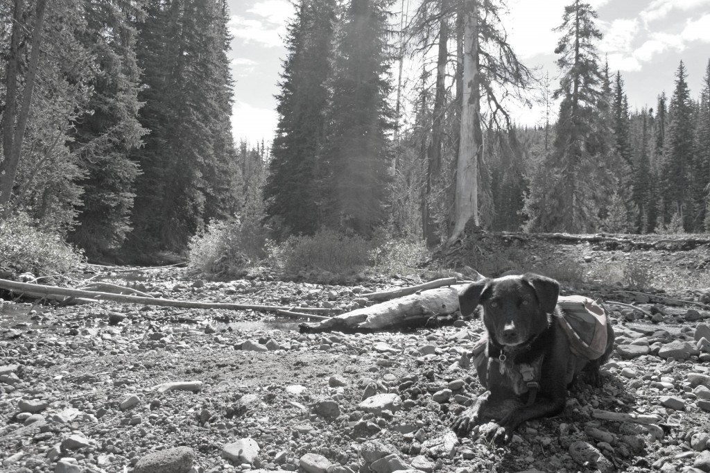
Happy Valley Sal

Sal taking a break in the creek bed in Happy Valley.

Honestly this was an incredibly easy hike with beautiful scenery. It’s perfect for days when maybe you aren’t at 100% energy, you just want a quick jaunt out of town or you’re introducing a friend or child to the outdoors. And the trail is incredibly straight forward, no junctions, no “off trail” navigation…just beautiful trees and waterfalls.

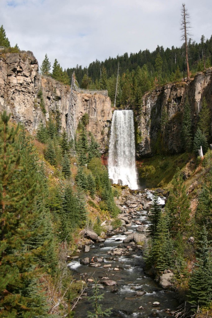
Tumalo Falls

Bonus!!! You don’t even have to hike to see stunning Tumalo Falls…the viewpoint is practically in the parking lot.

And to keep our non-hiking friend happy, and to keep us happy too, we wrapped up our afternoon at 10 Barrel for a victory beer before heading home.


Sisters Mirror Lake

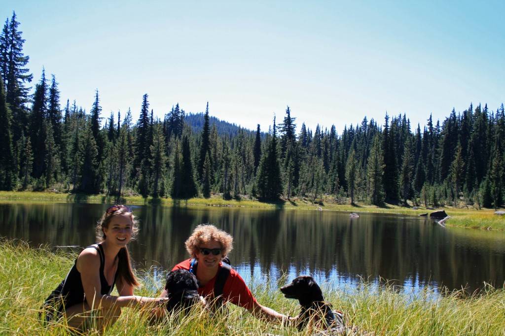
Sisters Mirror Lake family pic

The family at a little lake adjacent to Sisters Mirror Lake

Quick Stats

Distance: approx. 9 miles (more if you have time to explore)

Time: 4 1/2 hours

Difficulty: Easy to moderate with less than 1000 feet of elevation gain

Dog Friendly: Yes, it’s an off leash trail between Sept. 16 and July 14. You may run into pack animals and hunters, so know how your dog behaves around them.

Season: June to October

Permits: Northwest Forest Pass

Pros: you’re outside, close to Bend, tons of little lakes to explore and pretty meadows

Cons: No mountain views unless you head up Koosah Mountain (we only hiked up to an area where there was significant blow down, snapped a couple of pics and turned around)

This hike is so close to Bend it’s amazing that more people don’t use this trail. The trailhead was super easy to find; approximately 30 miles west of Bend on Cascade lakes Highway. There is a small parking area signed Mirror Lake Trailhead not too far passed Devils Lake (the trailhead for South Sister).

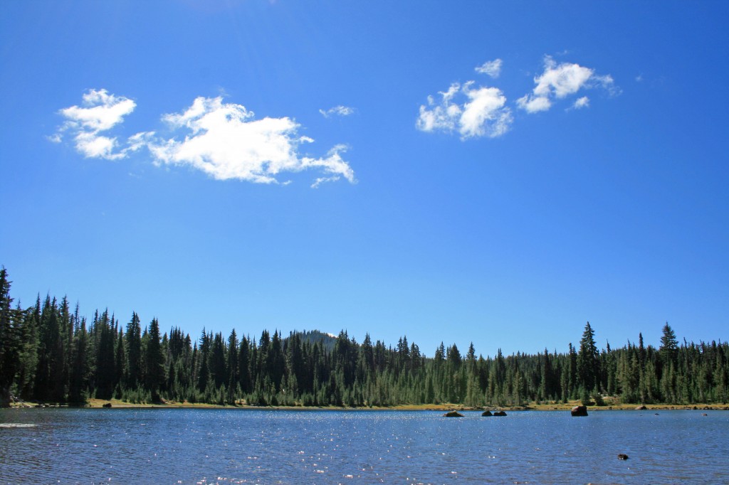
After a mile or two you come across a little pond with a large rock outcropping behind it, this is the last place for water until Sisters Mirror Lake.

sisters mirror lake pond

The last pond until you reach Sisters Mirror Lake.

Each of the lakes in the area make a perfect place for a picnic and soaking up some sun.

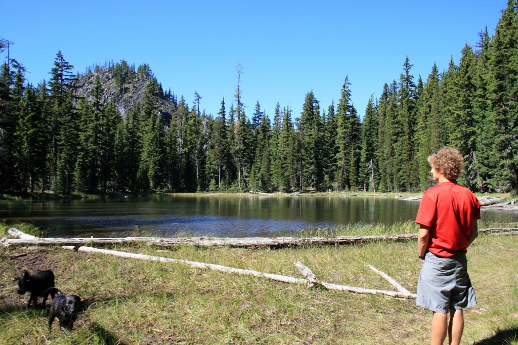
sisters mirror lake adjacent

Our lunch spot…all to ourselves

Sisters Mirror Lake skimps on the mountain vistas, but the large meadow, and pretty little surrounding lakes with their perfectly still surfaces totally make up for it. To find the lake you just follow the signs all the way there. There is atleast one place to camp on the far side of the lake and an even cuter place to camp at the neighboring unnamed lake (if you’re headed up Koosah).

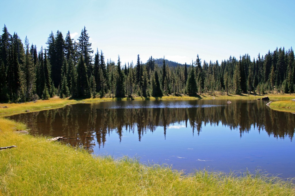
Sisters mirror lake

Sisters Mirror Lake and a perfect fall day

I think it’s also possible to head over to Nash Lake and make a loop or balloon shaped hike… (check out a map first!!!)

You’ll reach the lake after about 4- 4 1/2 miles of hiking. And if you’re feeling good you could head down the PCT and up Koosah Mountain to get a little more burn in those quads.

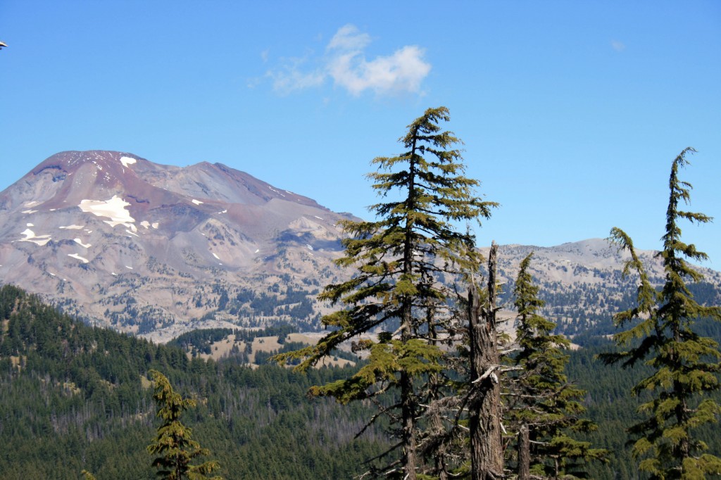
South Sister from Koosah

South Sister from Koosah Mountain

To get back to your car just return the way you came….or if you end up doing the loop over to Nash Lake let me know how it goes.


South Sister Summit

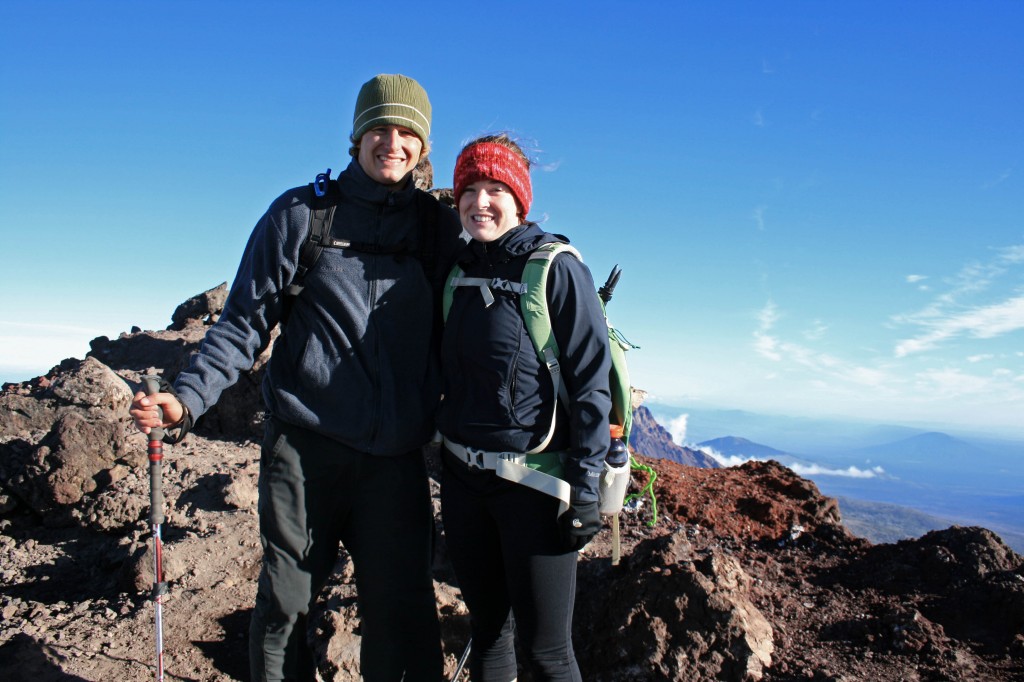
South Sister summit Autumn and Steve

We made it!!!

Alright, I’m not gonna lie, I haven’t been on a serious hike since May when Steve, Angie, and I did the Pinnacles trek at Gunung Mulu National Park in Borneo. So naturally, summiting a 10,358 foot mountain would sound like a good idea. Why, oh why, do I do this to myself…

Steve and I usually hike alot, but we just got back from our 6 month trip to Asia, so the last month has been spent looking for a new home, a new car, and a new job (for yours truly). And we moved to the other side of the Cascades…hello sunshine!!!

Quick Stats

Distance: 12.23 miles roundtrip

Time: 7-10 hours

Difficulty: Very challenging, but nontechnical (ie. you don’t need climbing gear)

Season: All year (mid-summer to mid fall for hiking; the rest of the year it’s wise to carry crampons, snowshoes, ice axe, etc.)

Permit: Northwest Forest Pass required; Wilderness permit required, fill out your party’s details at the trailhead

Dog Friendly: Hell NO!!!! The volcanic rock would eat their little paws up; the trail to Moraine Lake would be fine though.

Pros: Views of the Cascades, summiting the third tallest mountain in Oregon, bragging rights, you could camp at Moraine Lake

Cons: SCREE, it’s exhausting, trail can be crowded
South Sister Sunrise1

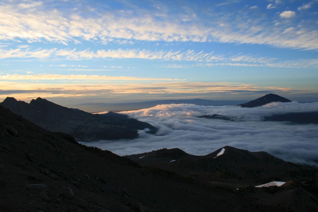
Just above the clouds.

We were hoping to make the summit for sunrise, but quickly realized that there was no way we were going to be up there in time. We arrived at the trailhead around 3/3:30 am on Labor Day weekend….silly kids. Luckily, most people don’t want to hike in the dark, so we hit the trail and only saw two other groups ahead of us…..on the way down it was a different story; we probably saw close to 100 people on their way up. I’m so happy we started early.
South Sister Sunrise

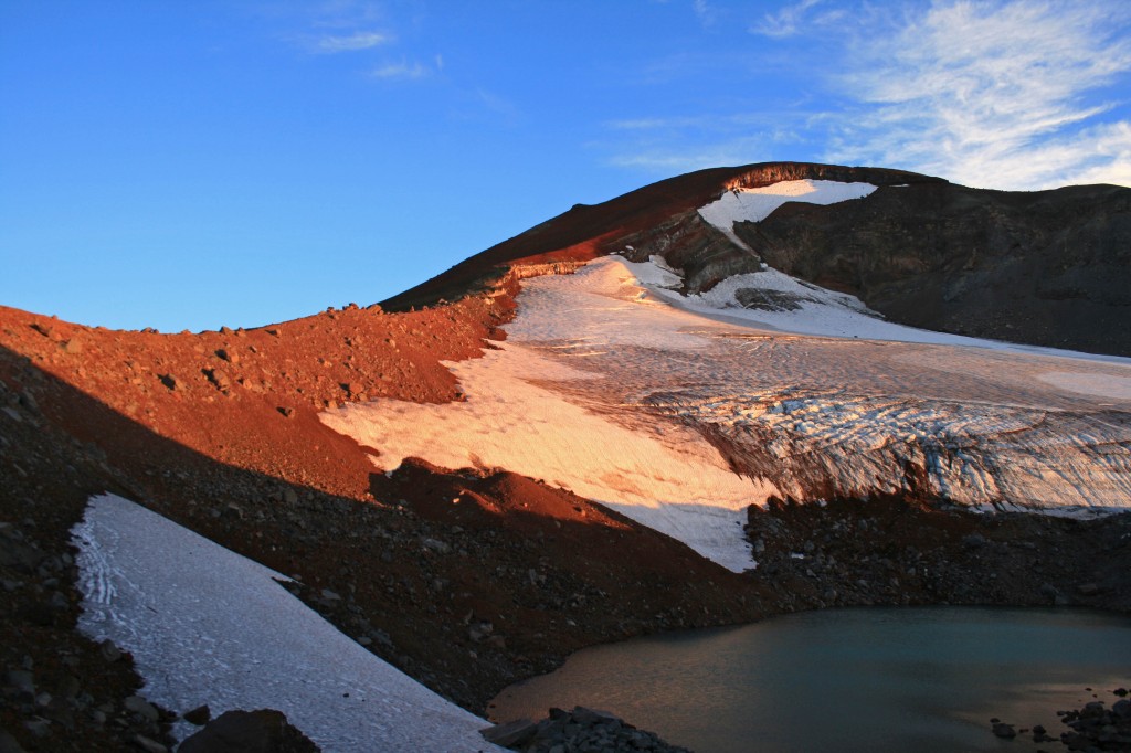
Morning light on the glacier.

The hike itself is just over 12 miles roundtrip from the Devil’s Lake Trailhead and gains approximately 4,900 feet in about 6 miles. It’s a doozy. The hike from the Devil’s Lake trailhead up to Moraine Lake (about 1.5 miles up the hill) is easy enough and the trail is well packed, which you will definitely appreciate after hiking to the summit and back. If the trail up to Moraine Lake is tough for you, you might just want to call it a day and enjoy the lake. It looked beautiful from up above and it would be way more relaxing than a summit attempt.
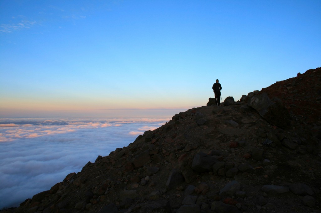
South Sister Sunrise above the clouds

Steve waiting for me to catch up.

South Sister lakes

You can see a few of the lakes in this pic and the ridge we hiked up.

I love scree!!! Oh wait, no I don’t. I hate it. It freaks me out! And the summit trail is mostly scree…loads and loads of loose volcanic rock. I definitely had to suck it up and resist the urge to turn around. My fear of falling was overpowering…I’m not truly afraid of heights; I’m afraid of tumbling down a hill. Anyway, I eventually made it to the top, probably 20 minutes after Angie and Steve. They patiently waited for me while there fingers, hands, limbs, and faces froze. The view was beautiful from the top, but it was bitterly cold and even operating the camera was a challenge.
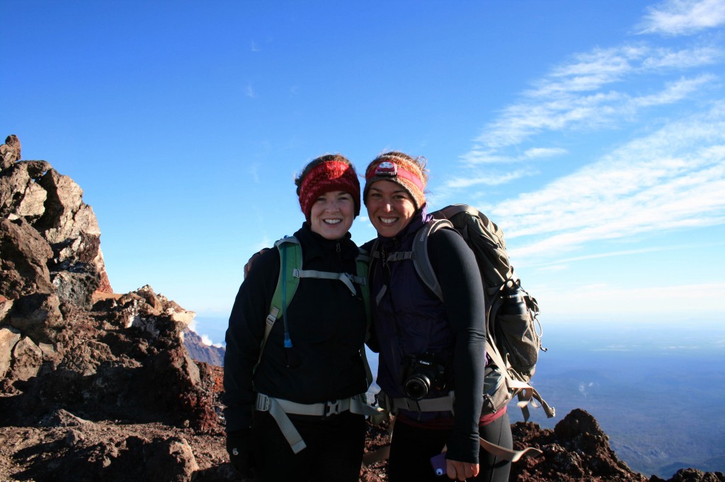
South Sister Summit Autumn and Angie

Angie and I took a quick pic before hustling down the mountain to get warm.

Anyway I’m happy to check the South Sister off of the list, but I’m not exactly jumping at the chance to do it again. Will I do it again? Probably, but I need to forget about all of that scree before I even consider it…lol. Maybe they could build some stairs and a put little hot chocolate shop on the summit? Just kidding….it was beautiful, it just so happens that it was really challenging too.
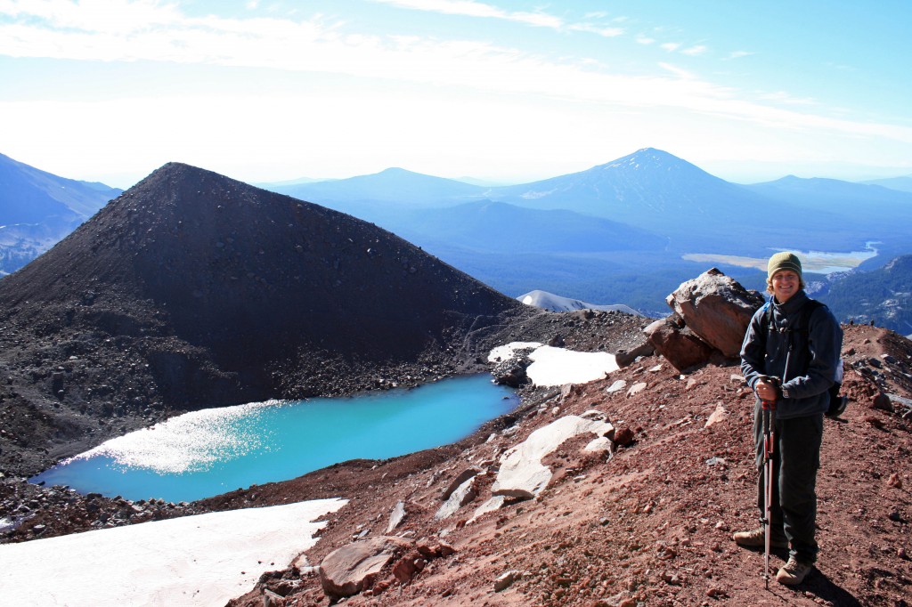
South Sister Steve

Beautiful lake on the way down from the summit…maybe Tear Drop Lake?
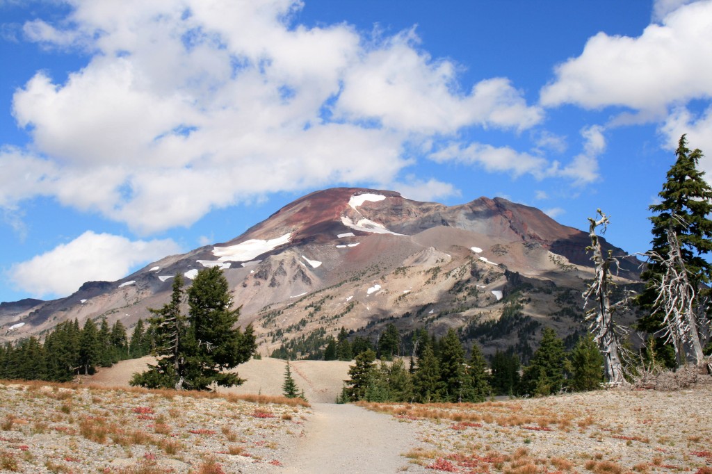
South Sister

Check!!!


Notes: Pack your layers. I wore a tank, a Smartwool Midweight top, a vest, a lightweight jacket, leggings, thin gloves and a fleece headband. Honestly, I wish I had brought my Patagonia Down Sweater too. I was fine in boots with no gaiters, but I went fairly slowly. My trekking poles also came in handy, but like I said I was going slow. I saw some people running down in tennis shoes. Pack your sunscreen and sunglasses too. You will definitely need them as there isn’t much shade on the trail until below Moraine Lake.

Resources

Everytrail.com provides a play by play trail guide


Angels Rest

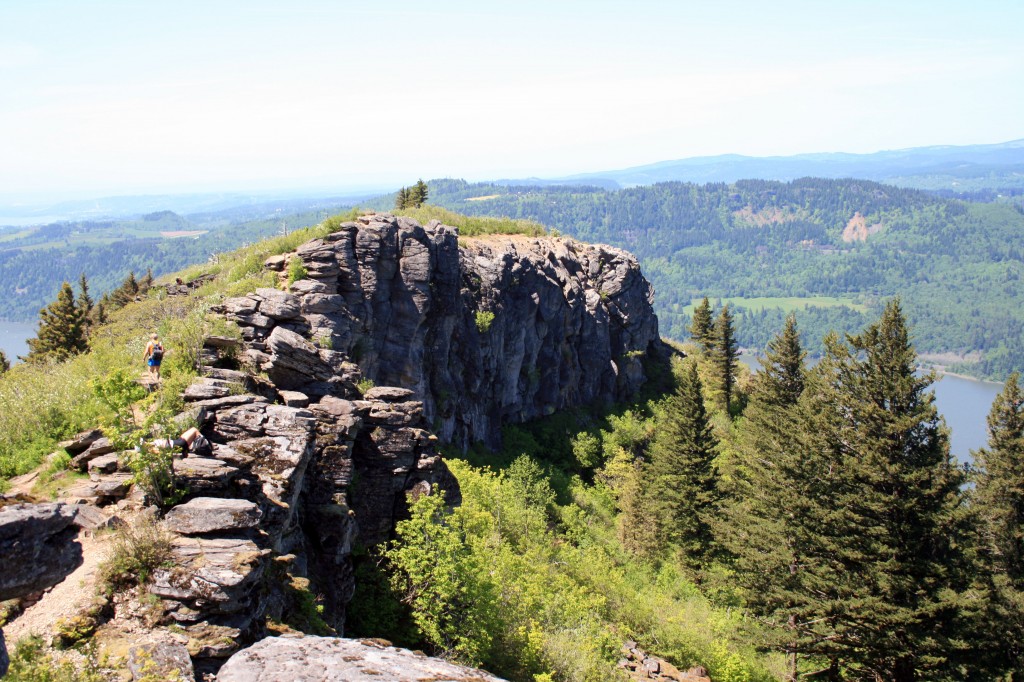
Angels Rest

Angels Rest viewed from the trail to/from Devil’s Rest

Quick Stats

Distance: 4.6 miles roundtrip (out and back)

Time: 2.5 hours

Difficulty: moderate

Elevation Gain: approx. 1400 feet

Season: All Year; might get snow on top during the winter months

Permit: none needed

Dog Friendly: Sort of, if you trust your dog around drop offs they will do fine. We always make sure to keep Sal and Jedi leashed when at the top.

Pros: Close to Portland, great views of the Columbia River Gorge, mostly shady except on the rock slide and on top, moderate grade

Cons: Busy trail

Angels Rest is one of my favorite hikes in the Portland area. It’s super close to town, it’s just long/hard enough to make you feel like you worked out, and the view on top is stunning. It’s a great escape from the city.

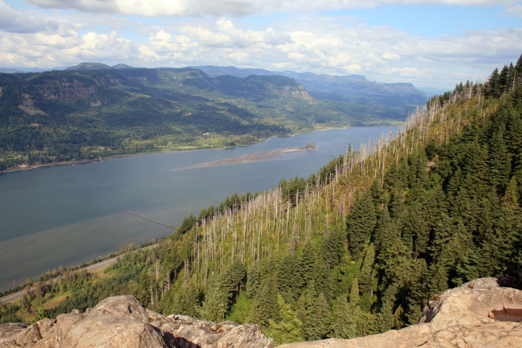
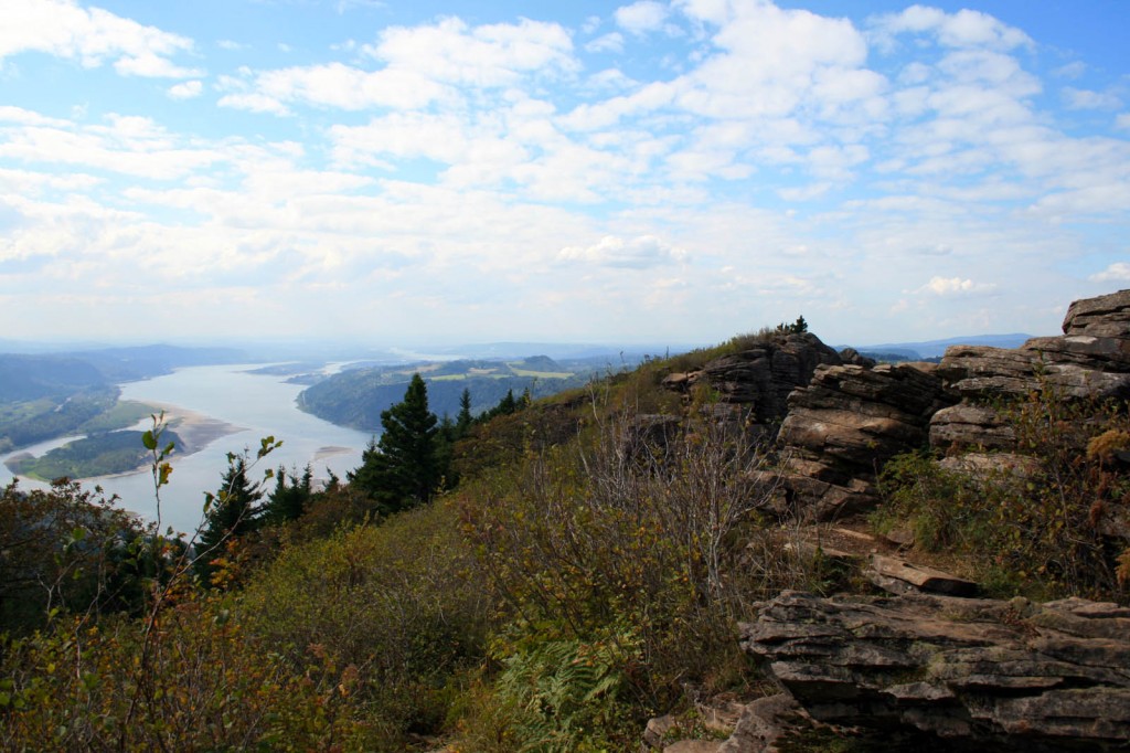
Angels Rest Looking East

the view from Angels Rest looking east at the Columbia River Gorge

To get there drive east on I-84 from Portland and take Exit 28/Bridal Veil. The trailhead parking is just to the right of the intersection with the Historic Columbia River Highway. The trailhead is marked and is opposite the Highway from the parking area.

The trail begins with a fairly moderate grade, continuing through the trees with the occasional view of the Columbia River Gorge or Coopey Falls. After about a mile the trail begins switchbacking as the grade steepens. Wildflowers line the trail until you cross a rock slide, which means you’ve almost made it to the top. Yay!

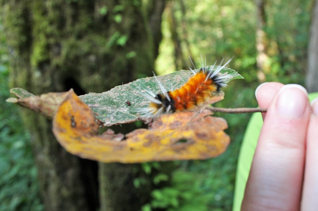
Angels Rest Caterpillar

Caterpillar on the Angels Rest trail.

All of that hard work and sweat will pay off. Follow the path toward the point, some easy scrambling will be involved, and enjoy the view. From Angels Rest you look across the river to Beacon Rock, Hamilton Mountain, and Table Mountain (which are all hikeable) and to the west you can see the Vista House. There is usually a nice breeze up top, so it’s a great place to enjoy the sunshine and eat your lunch before heading back to town.

Angels Rest looking westward

Angel’s Rest looking west

Although the hike itself is pretty moderate if you have creaky knees bring your trekking poles…you’ll be happy you remembered them on the return down. Steve swears by his Black Diamond Trekking Poles and uses them religiously…I however only use mine for trails that have miles of sustained downhill, so I didn’t pack mine and I was fine.

It’s also possible to reach Angels Rest from Wahkeena Falls, by doing the Devils Rest/Angels Rest Loop hike for a more challenging, longer day hike.

After your hike head in to Troutdale and grab a beer at McMenamins Edgefield…. the service will be mediocre, but occasionally they’ll have a couple of good beers on tap…and the grounds are good for wandering.

Resources

www.portlandhikersfieldguide.org


Goat Lake Loop

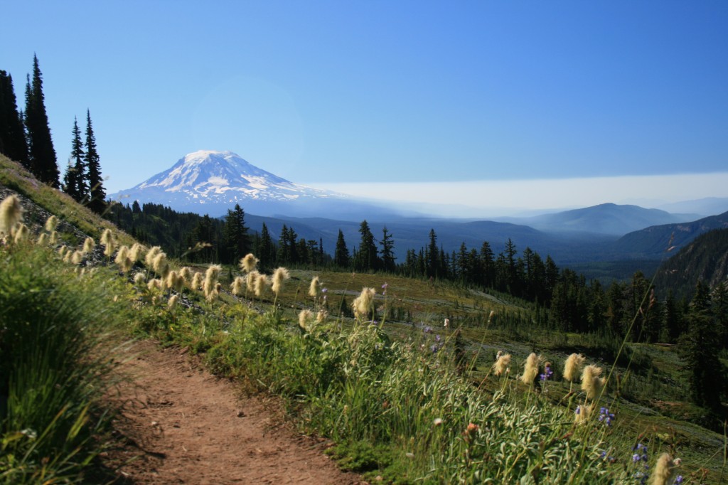
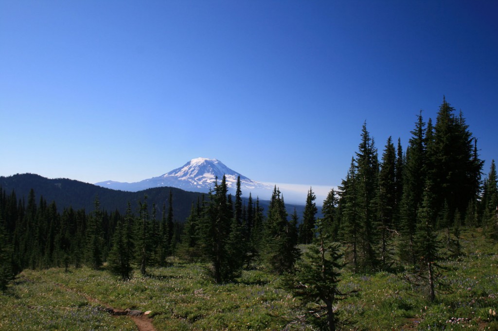
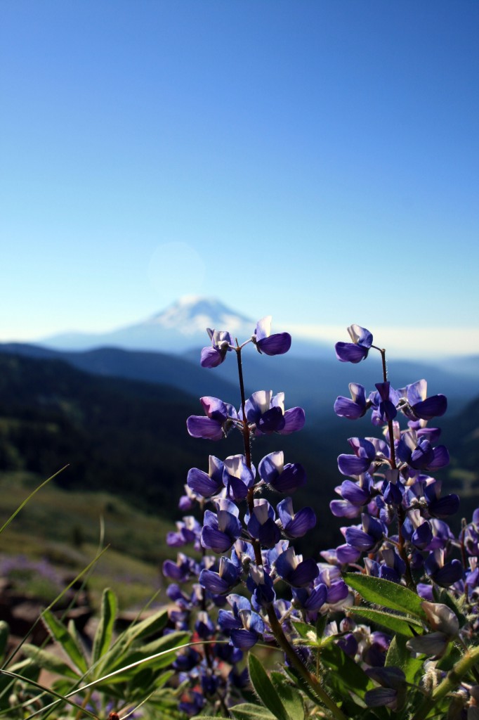
Mt. Adams from the Goat Lake trail

View of Mt. Adams from the Goat Lake trail

During September’s cold snap Steve and I decided it would be a good idea to hit the trails for a quick overnighter in the Goat Rocks Wilderness. Braving sleet and below freezing temperatures we hiked up to Snowgrass Flat, then over to Goat Lake and down Jordan Basin to complete a loop hike starting at the Snowgrass Trailhead.

Quick Stats

Distance: 13 miles (with tons of options for side trips, ours ended up being around 16 miles)

Time: 2 days or more

Difficulty: Moderate (only because of the exposure and 3000 ft. elevation gain)

Season: End of July to October

Dog Friendly: Yes, as long as they know to stay on the trail and are confident walking on narrow trails with steep drop offs

Pros: Stunning views of Mt. Adams, wildflowers, mountain goats, plenty of water

Cons: busy trail, horse use in places, weather can change quickly

Day 1

On the first day we hiked up to Snowgrass flat on trail #96, a pretty straightforward easy 4 mile hike. After continuing about a mile past the flat to find a site closer to day two’s destination, and finding the best sites already taken, we ended up backtracking to the flat and camping near a pretty little creek. Shortly after we set up camp a small storm blew in and brought with it sleet, hail and very cold temps. We were so happy we packed warmly and brought our waterproof gear.

Wildflowers at Snowgrass Flat

There were still tons of wildflowers in Snowgrass Flat

If we hadn’t been worried about the weather we could have done one of the great side trips on the PCT over to Cispus Basin or up to the summit of Old Snowy, both have been highly recommended by fellow hikers.

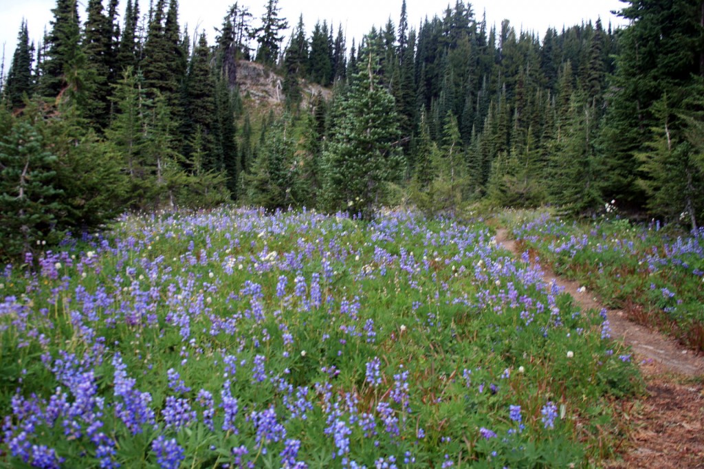
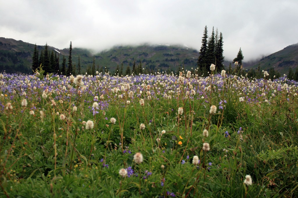
Wildflower filled meadow on Lily Basin trail between Snowgrass Flat and Goat Lake

Atleast our detour to find a suitable camp led us to this wildflower filled meadow on the Lily Basin trail between Snowgrass Flat and Goat Lake.

Day 2

As I was laying in the tent debating whether to leave my positively toasty Marmot sleeping bag or not, I looked up and thought “Wow, there’s no condensation we must have vented the tent really well.” NOT, all that condensation was FROZEN. The whole meadow had a frozen layer of frost/ice over it, but happily we woke up to a stunning view of Mt. Adams peeking through the trees on the other side of the flats. We were glad to see the skies had cleared and we would finally have some views. A hiker we passed on the trail said his thermometer read 22 degrees Fahrenheit….brr, no wonder everything was frozen.

Mt. Adams from Snowgrass Flat

Good morning and goodbye clouds. Our morning view of Mt. Adams.

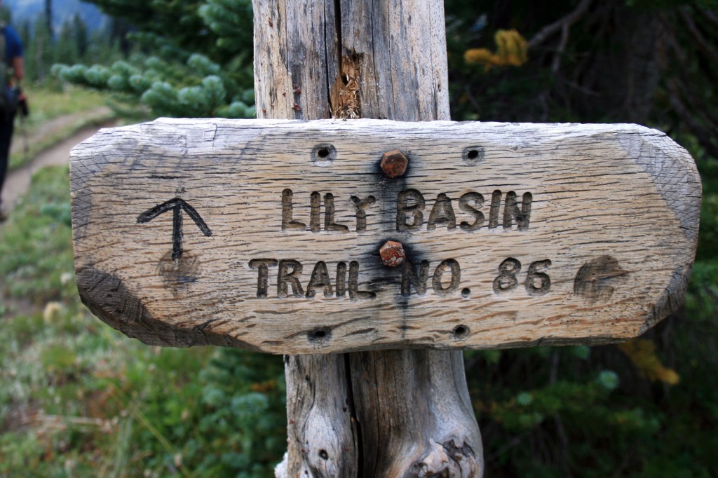
Lily Basin Trail Sign

Continue on the Lily Basin trail to get to Goat Lake.

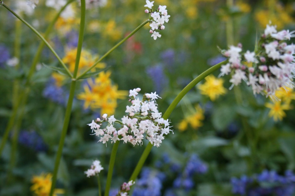
Wildflowers Goat Rocks Wilderness

Bring on the wildflowers; they’re never ending on the beautiful trail.

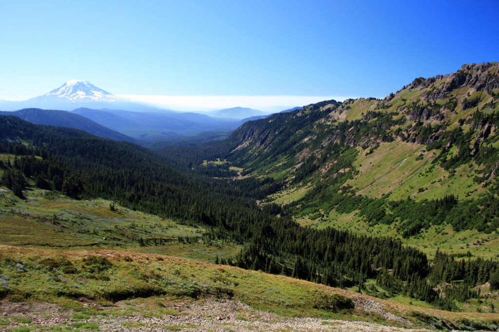
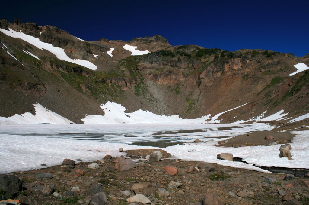
The hike over to Goat Lakes on the Lily Basin trail (#86) is pretty moderate, just a slow and steady uphill with spectacular views of the valley, wildflowers, and Mt. Adams. After about 3 miles you’ll reach Goat Lake, which was still partially frozen in September. If you’re lucky you might see some mountain goats up on the slope behind the lake; we saw at least 20 mountain goats above the lake.

Wildflowers with Mt. Adams in background

Didn’t I promise you views and wildflowers!!!

View of the valley from the Lily Basin trail before Goat Lake

View of the valley and Mt. Adams from the Lily Basin trail before you reach Goat Lake.


Goat Lake, Goat Rocks Wilderness

Goat Lake still partially frozen….maybe if you have really amazing eyes you can see the mountain goats on the slope behind the lake.

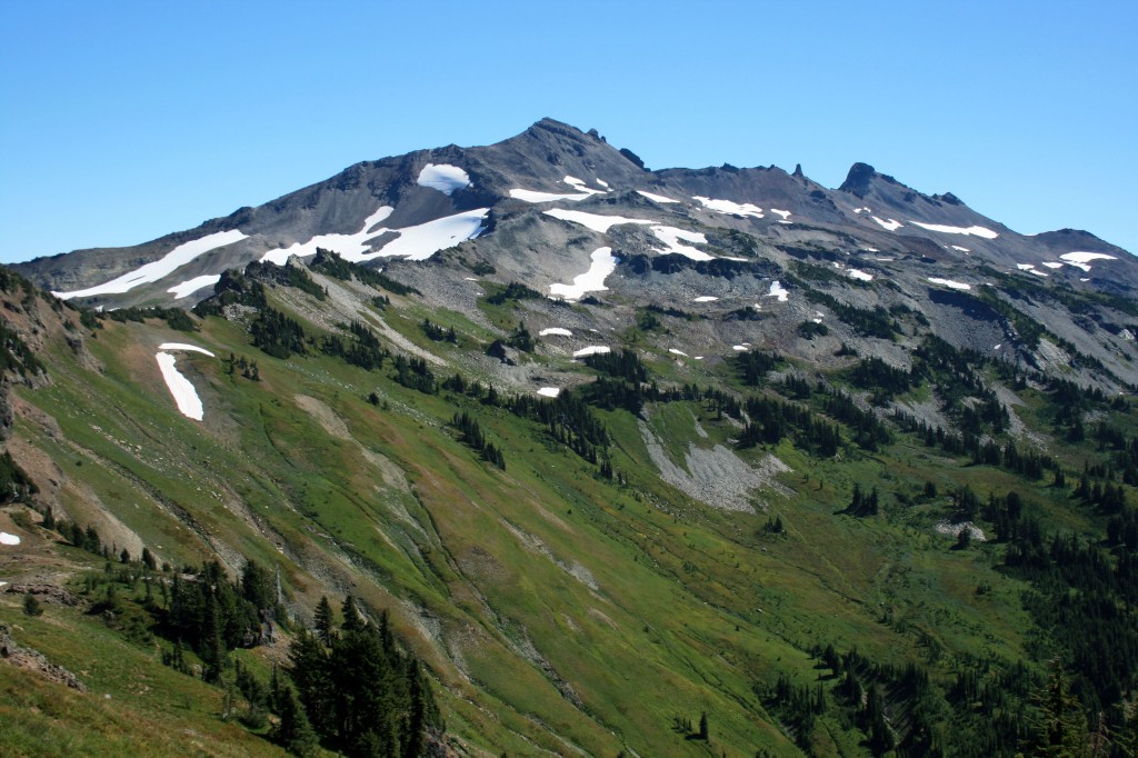
Hiking down from the lake the trail is fairly narrow and was even muddy in a couple places, so watch your step. If you turn around and look back the way you came you have a great view of Old Snowy.

Old Snowy, Goat Rocks WIlderness

Here’s your view of Old Snowy.

Less than a mile past the lake is a junction which takes you up to the top of Hawkeye Point and over to Lily Basin. To complete the loop continue straight and head down into gorgeous Jordan Basin,which looks like it just drops off at the base. There is a really pretty campsite near the bottom, although fairly exposed.

Jordan Basin, Goat Rocks Wilderness

The trail through steep Jordan Basin. The trail in this picture is characteristic of the trails on this loop hike.

Continue on trail 95 or to check out the Goat Ridge lookout detour to 95A which rejoins 95 as it heads back down to the start of your hike. To complete the loop either walk on the road back to your car or take the trail marked Snowgrass Flats that goes through Berry Patch and over to where your car is parked at the Snowgrass trailhead.

As you pack for this trip don’t forget the Ten Essentials and to pack your layers.

Planning Resources:

100 Classic Hikes in Washington
by Ira Spring and Harvey Manning

One Night Wilderness: Portland: Quick and Convenient Backcountry Getaways within Three Hours of the City
by Douglas Lorain

Washington Trail Association