So you’re planning a trip to Bend, huh? Maybe you’re coming for the killer mountain biking, the brewery scene, or maybe just to get some more Vitamin D in your life. Steve and I have been living in Bend for 8 months now and we’re loving every minute of it. Need help deciding what to do on your Bend holiday? Don’t stress… soon enough you’ll be in Bend. Here ya go! And you’re welcome, in advance.
1. Go Mountain Biking!!!
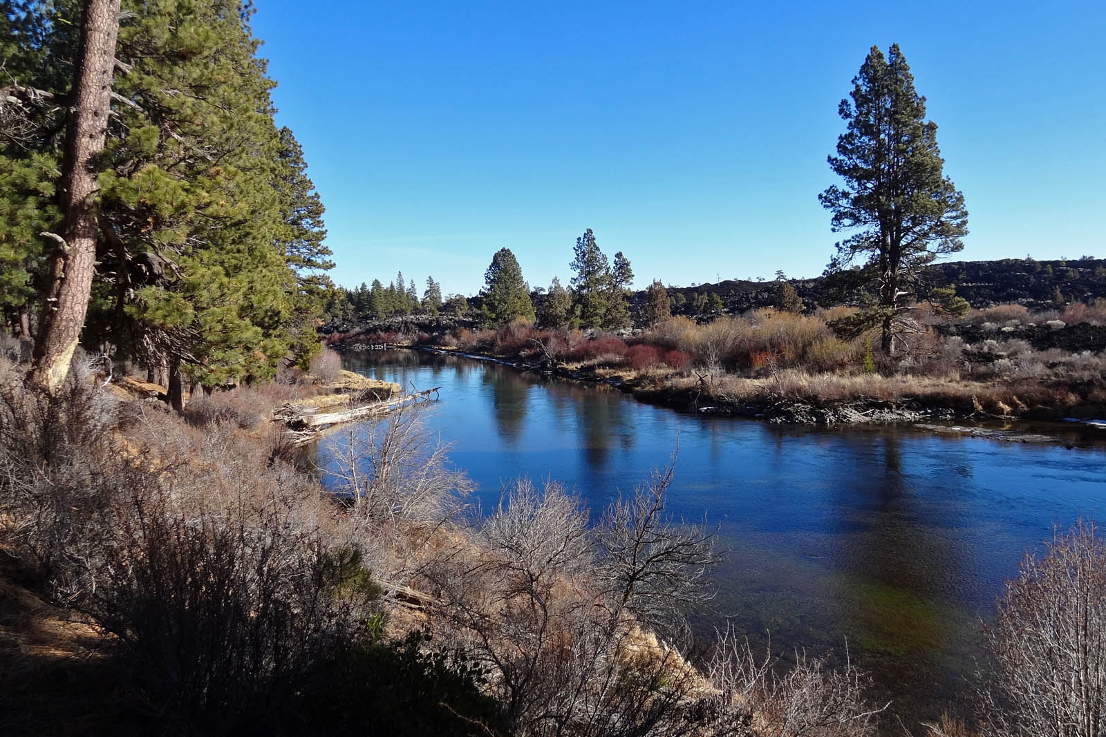
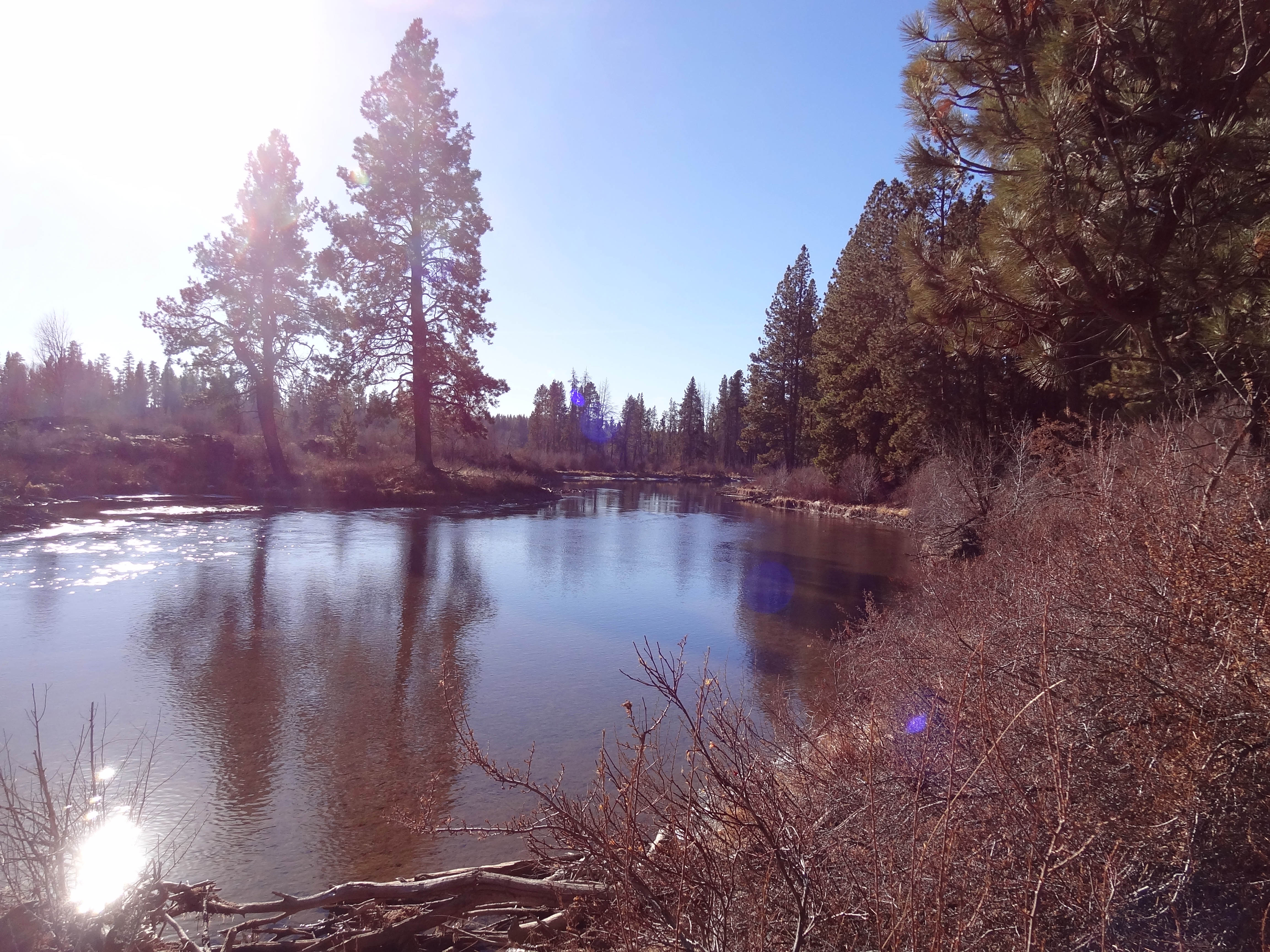
There are so many trails here and a fair number of them link up to each other. Try out the Deschutes River Trail for some easier trails or head over to Phils if you want to get crazy…. or link them up for an epic day of trail riding. Pine Mountain Sports, Bend Cyclery and Cog Wild are great resources for planning your trip.
Mountain bike along the Deschutes River.
2. Get out on the Water!!!
Loose your fear of water and sign up for a kayak lesson with Tumalo Creek. Tumalo Creek is in the Old Mill District and literally right on the Deschutes River. Already comfortable on the water? Check out one of the whitewater trips they offer or try out SUP. I cannot wait for the days to be long and hot, so I can head out to Sparks Lake and Devils Lake for a little SUP action. Tumalo Creek also provides SUP lessons.

SUP at Tumalo Creek
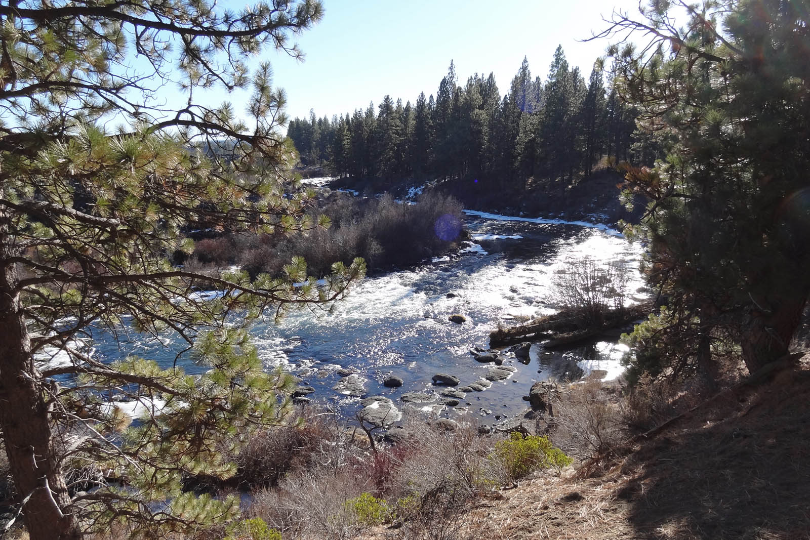
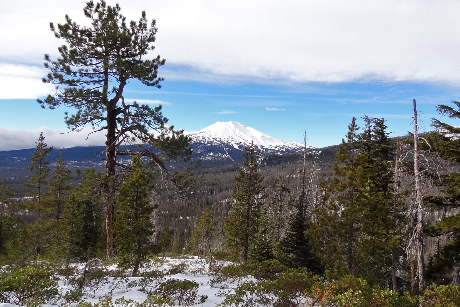
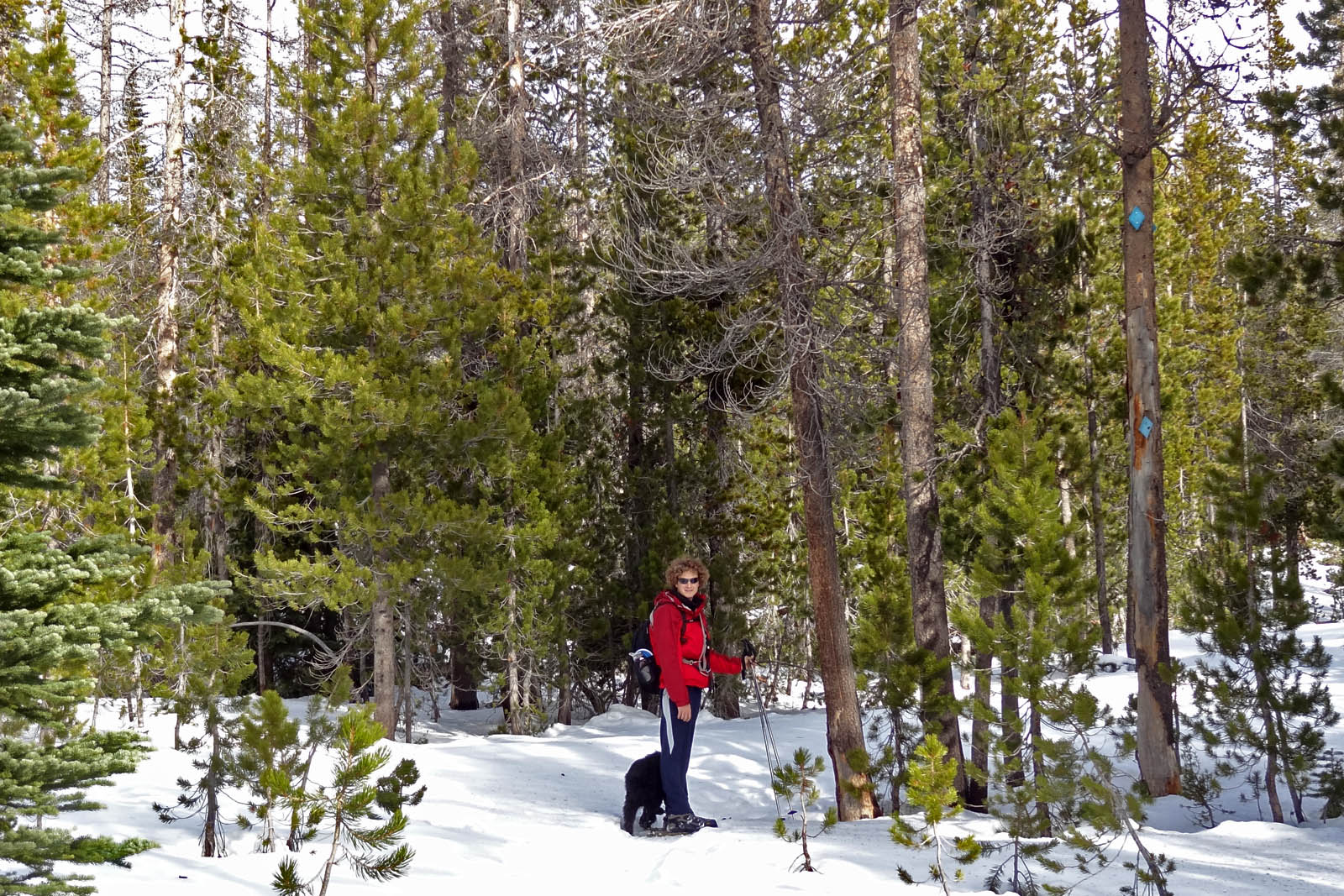
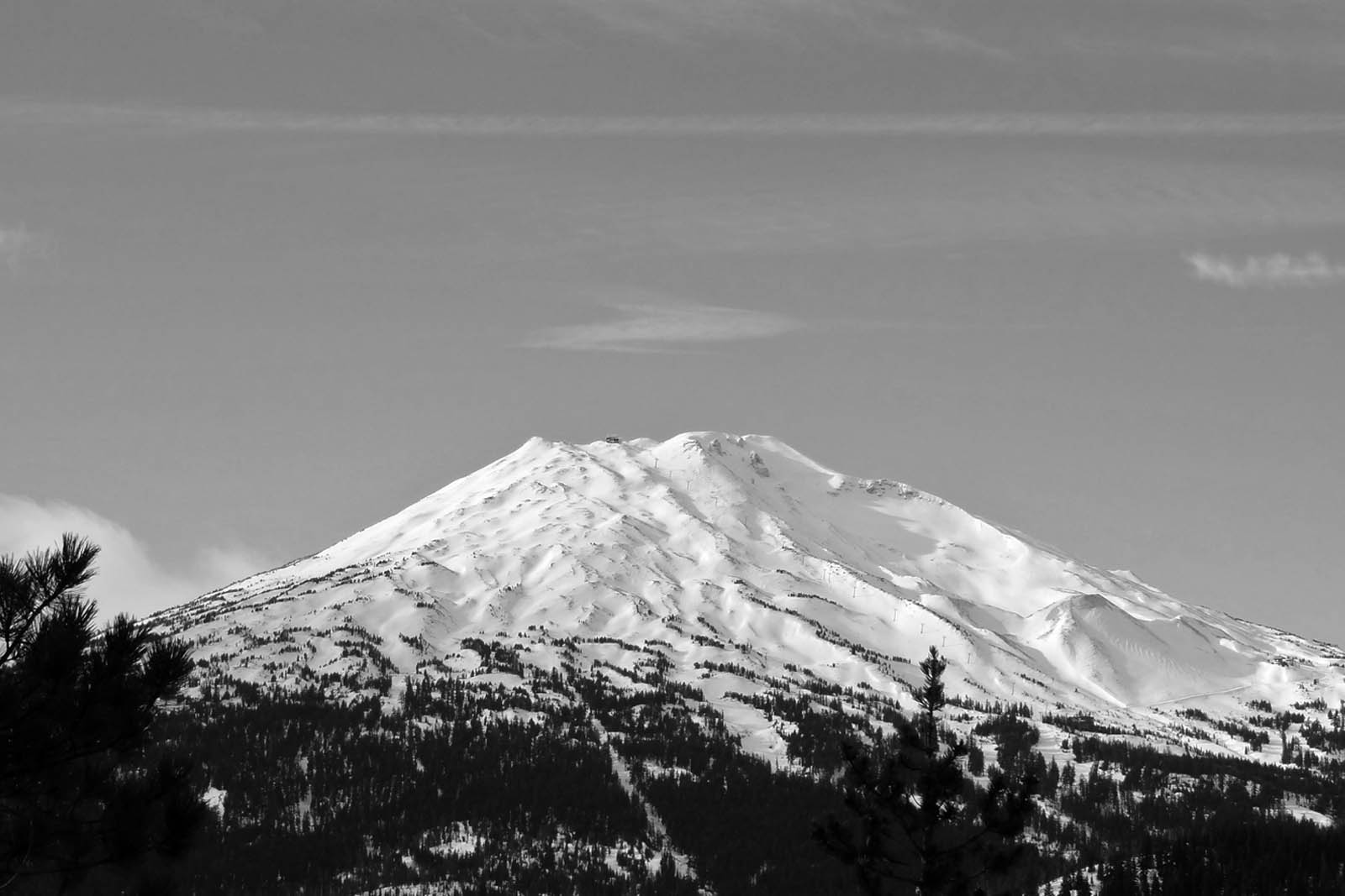
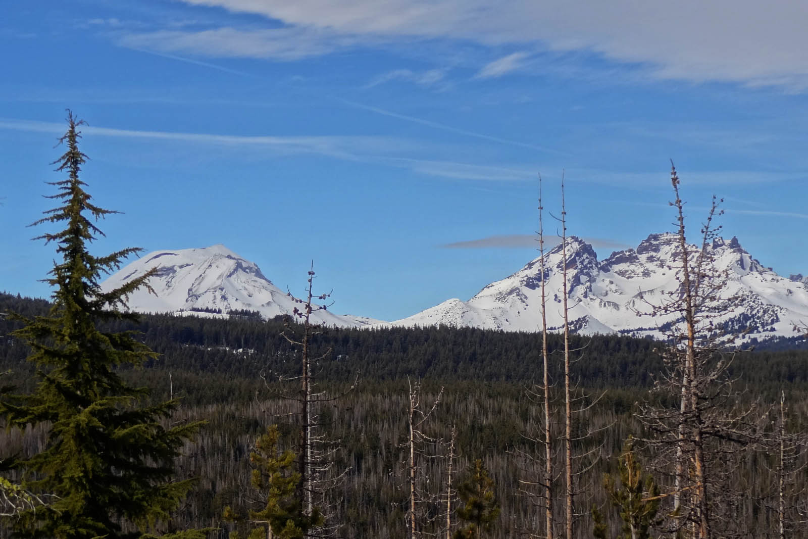
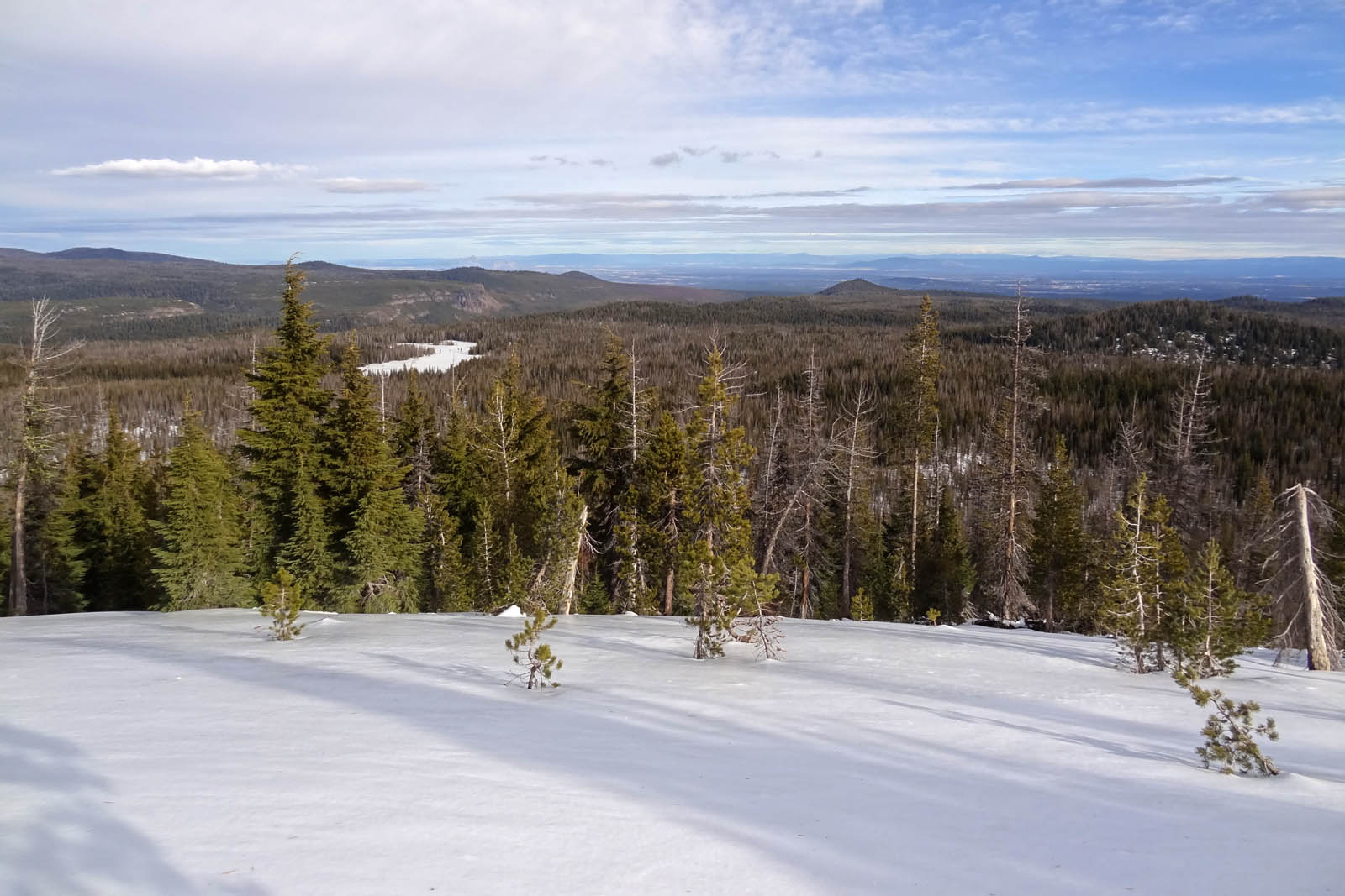
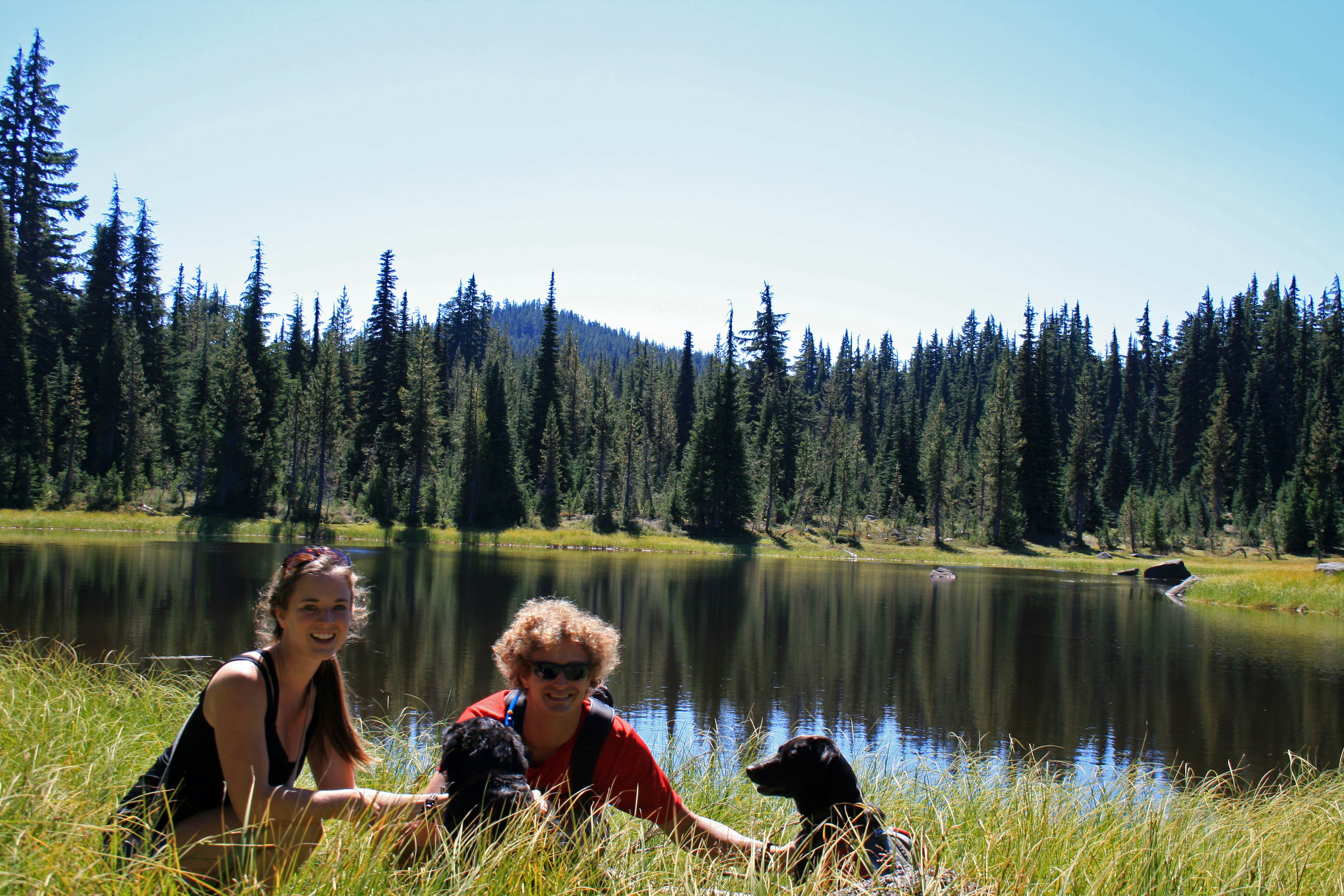
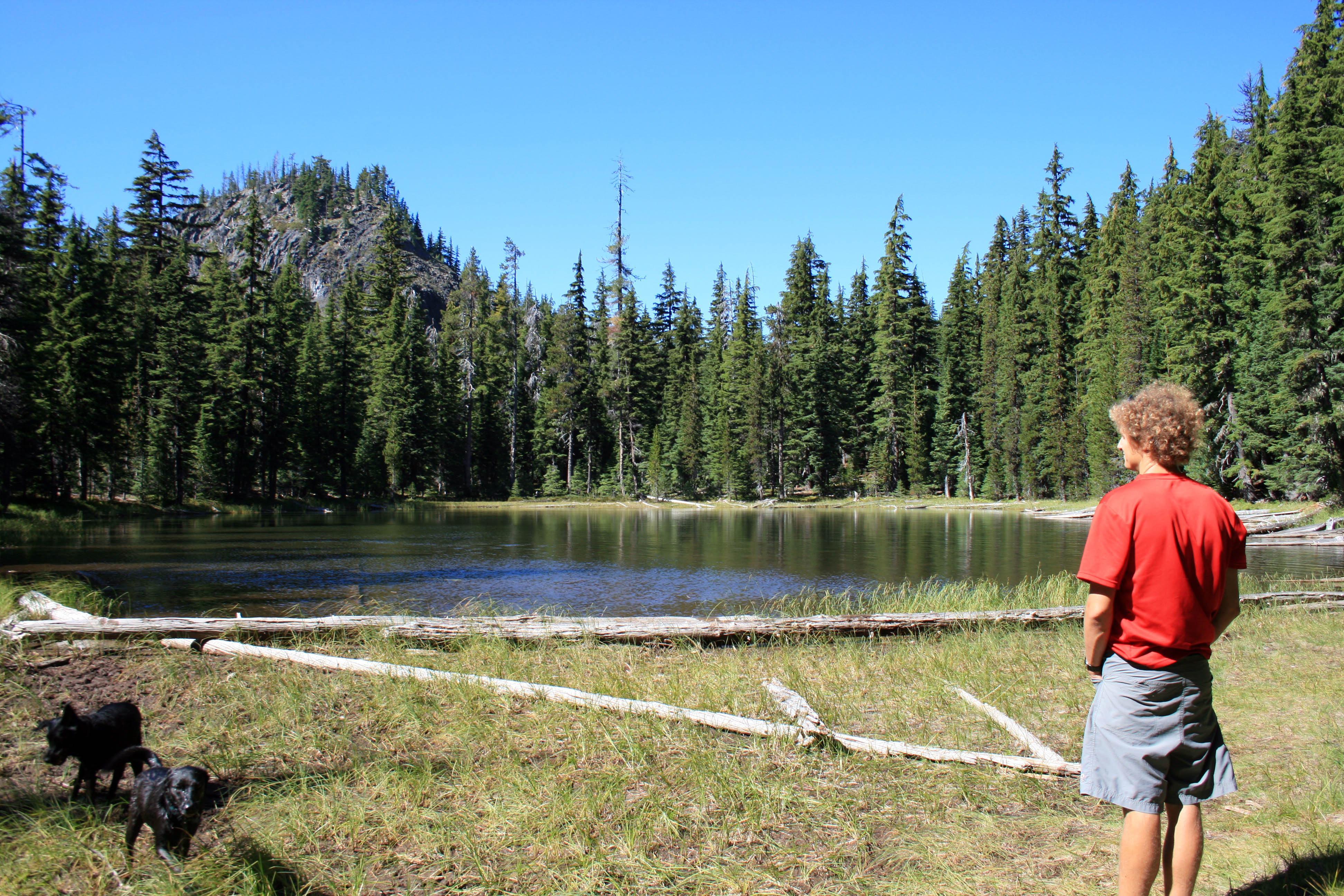
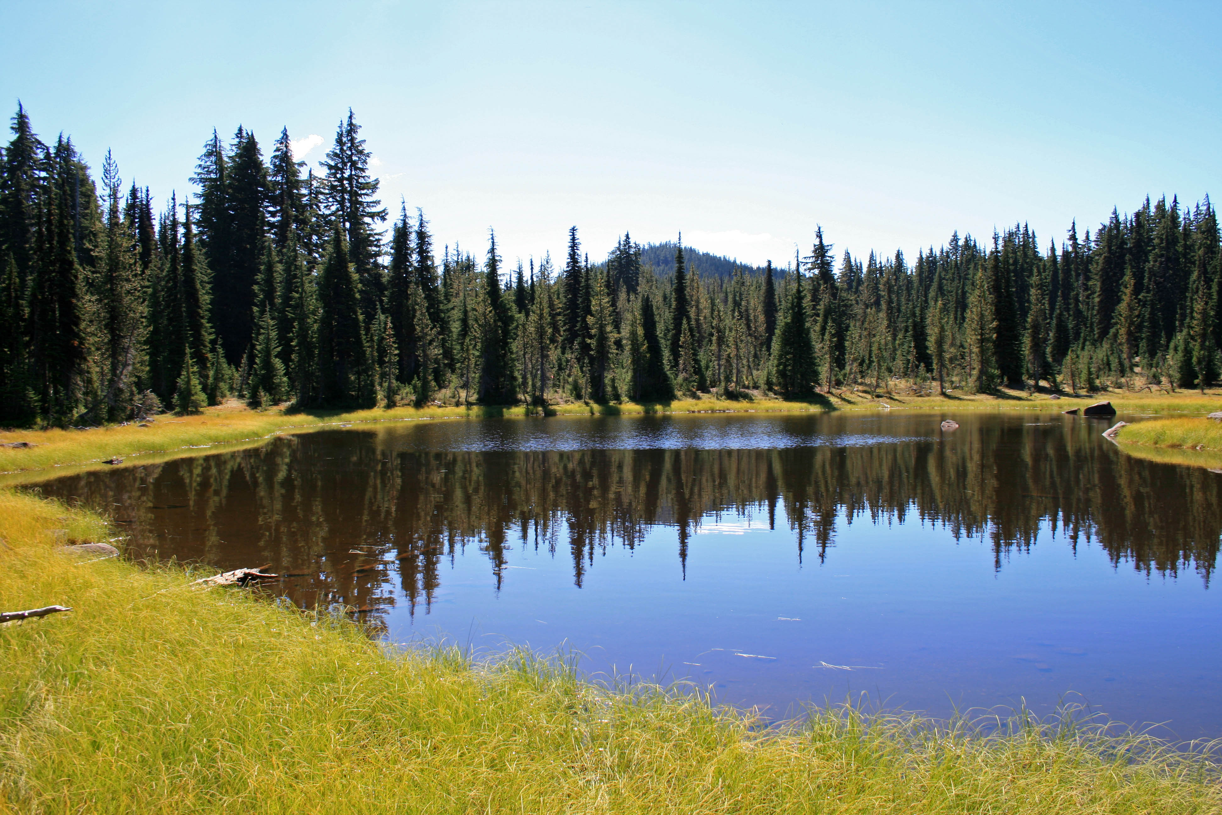
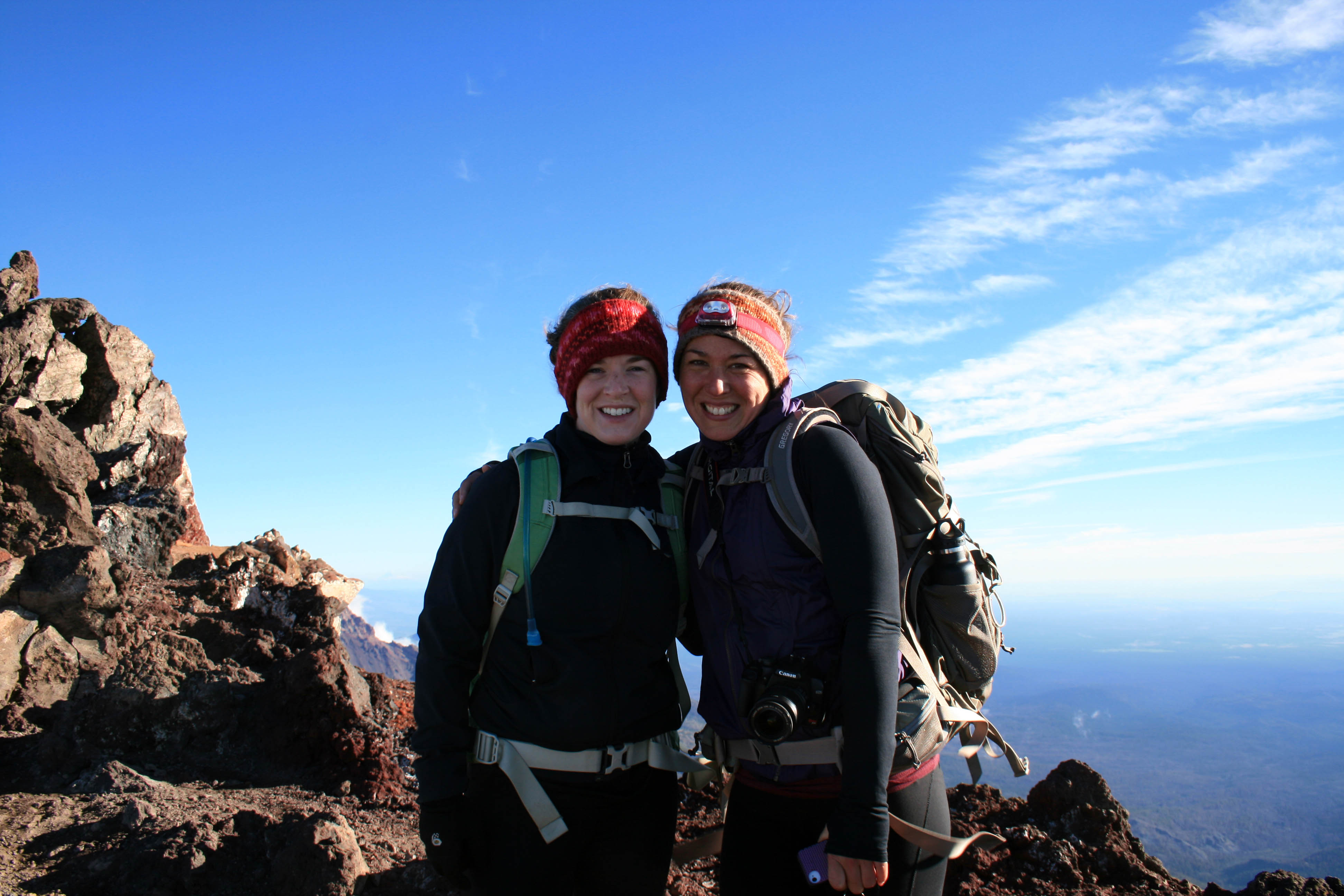
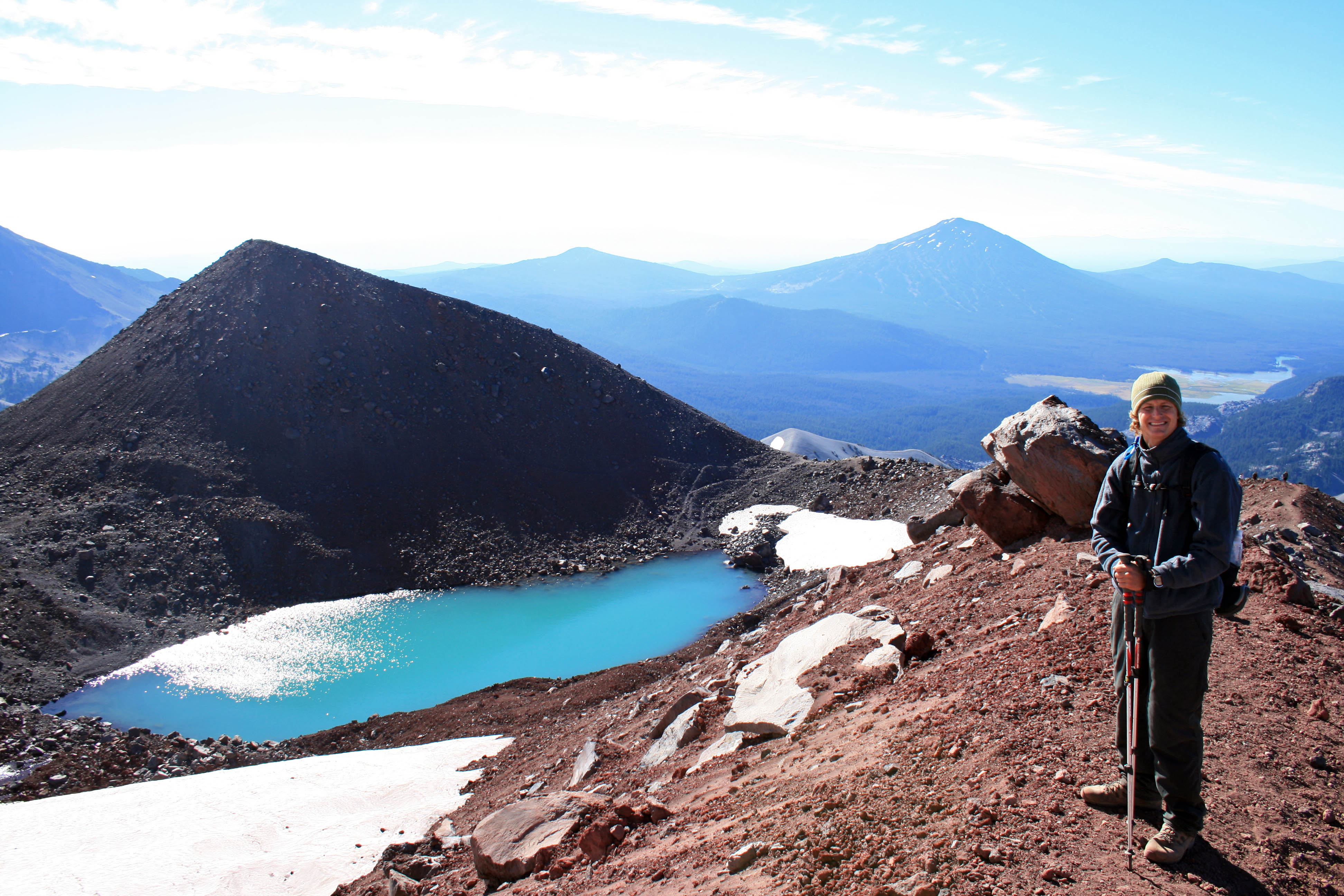
3. Hit the trail with your own two feet.
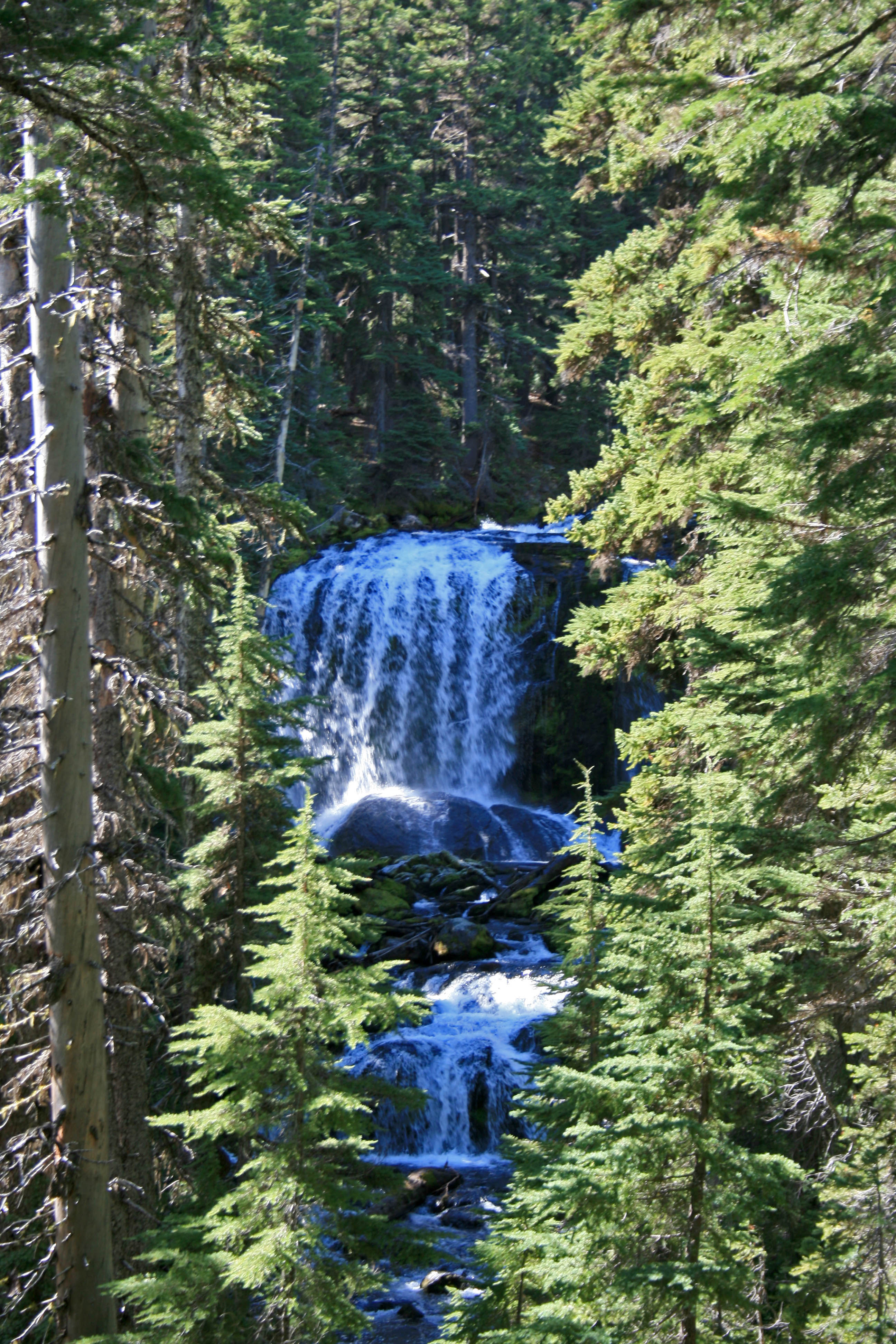
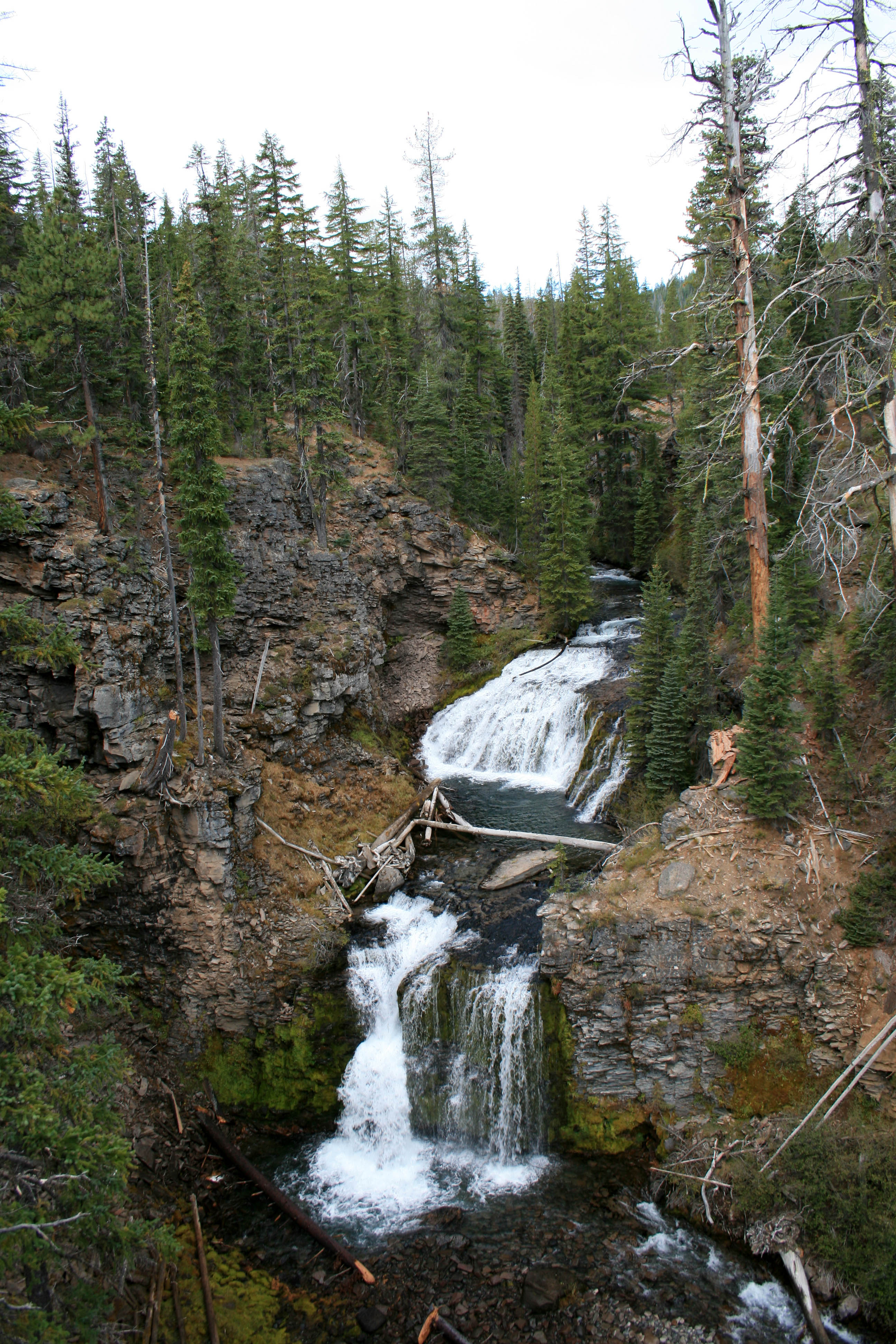
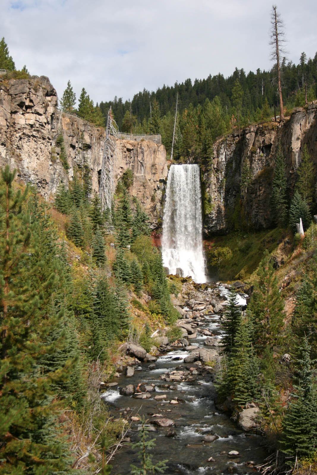
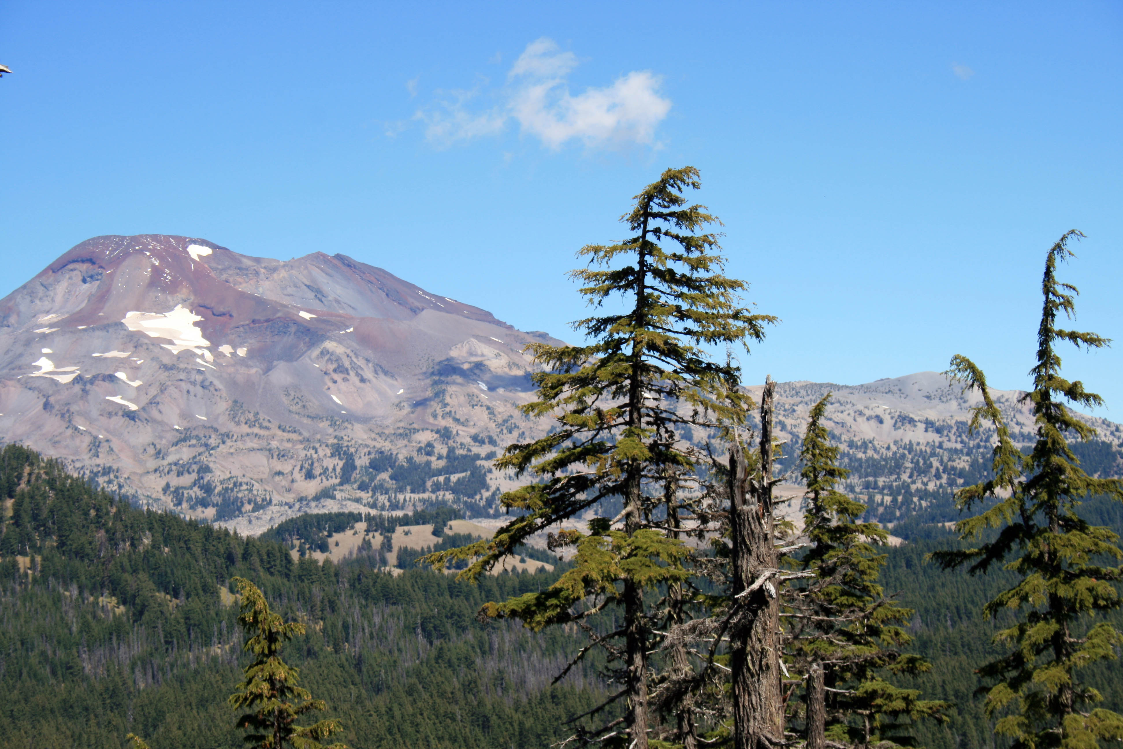
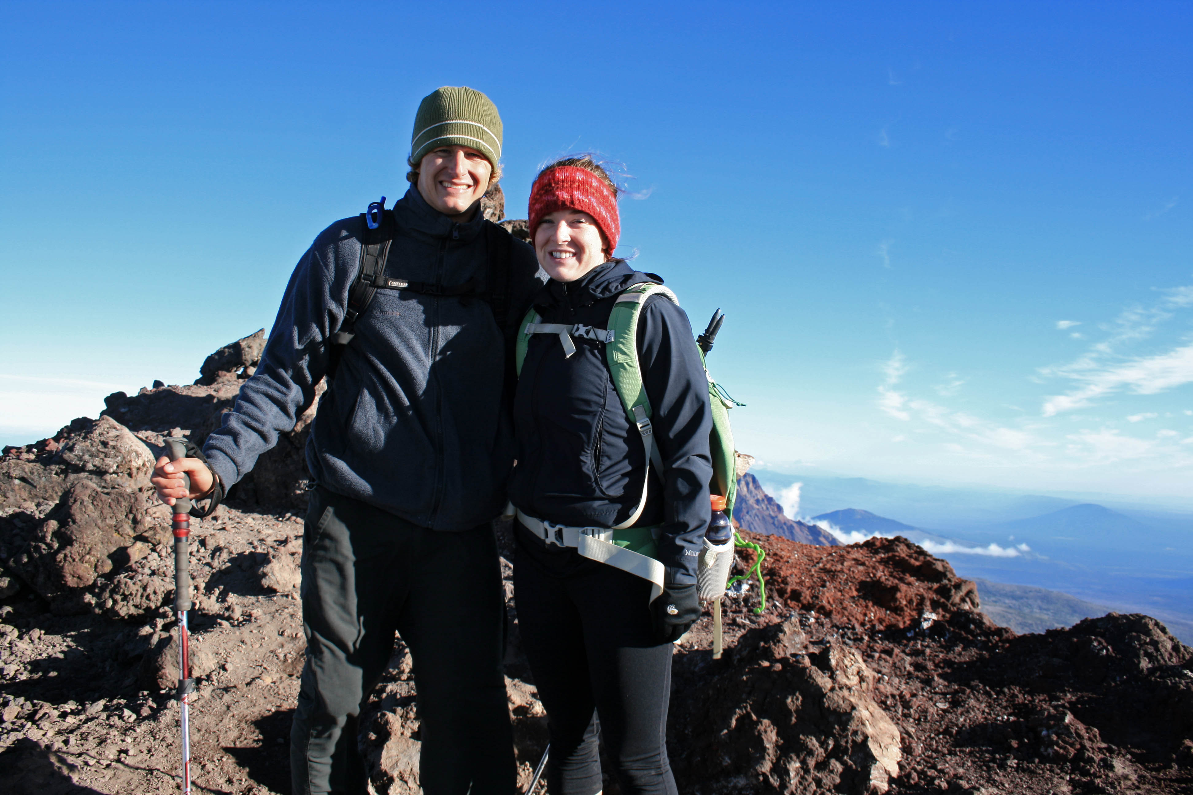
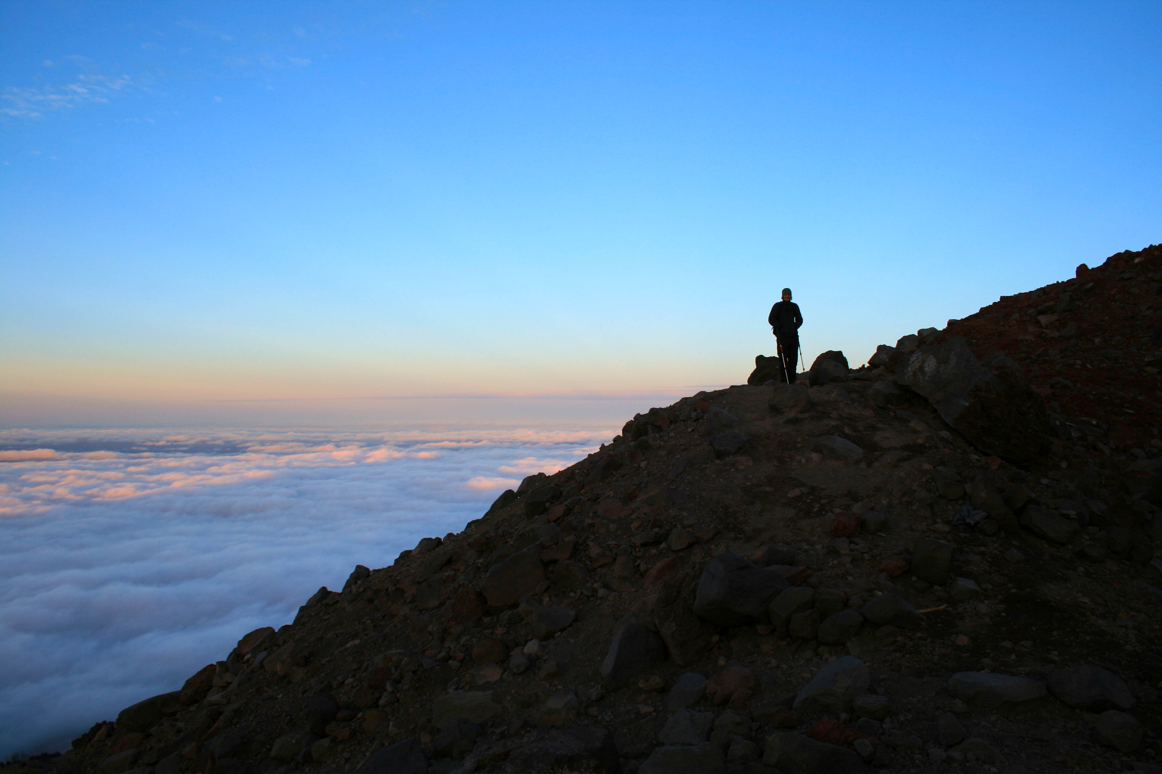
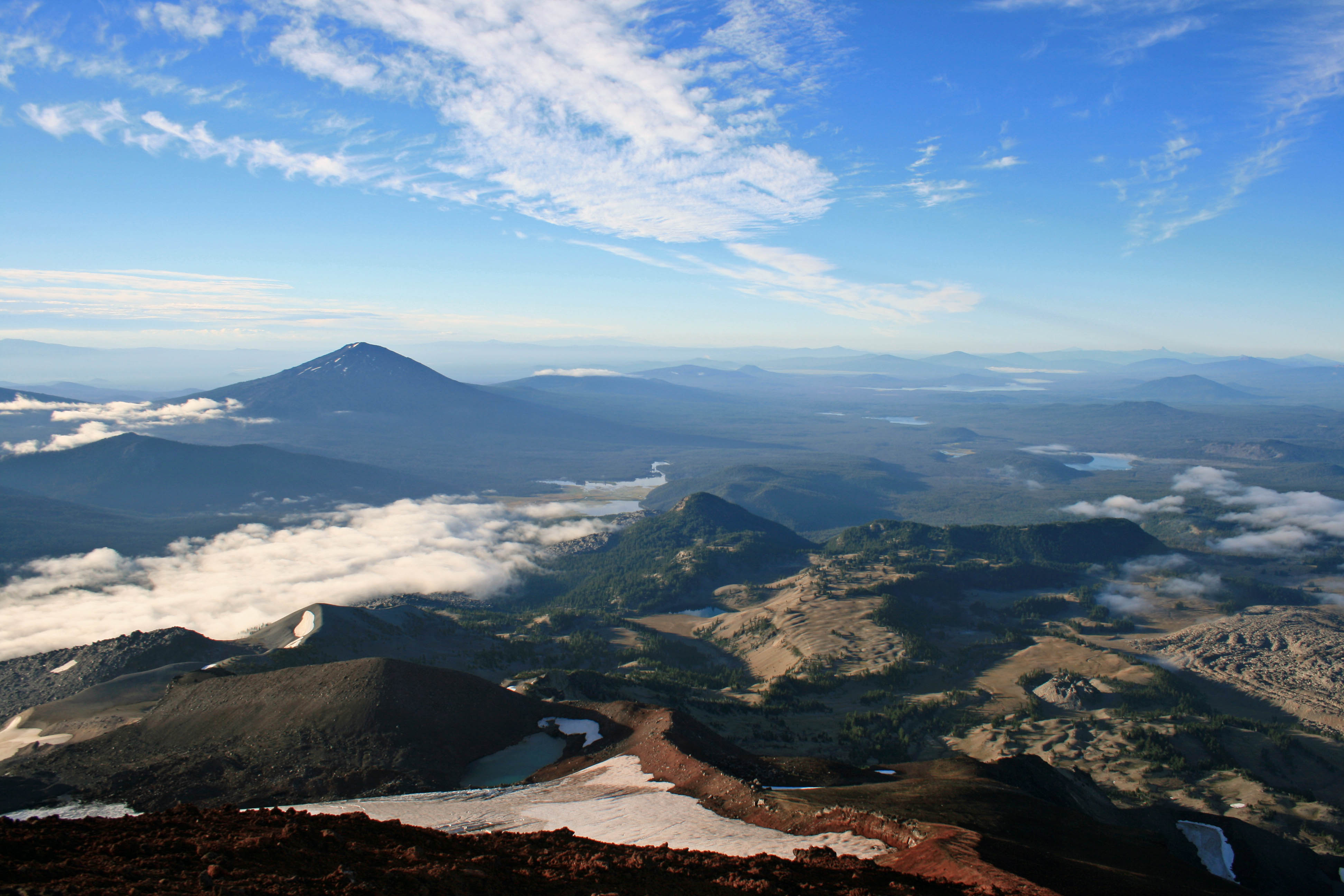
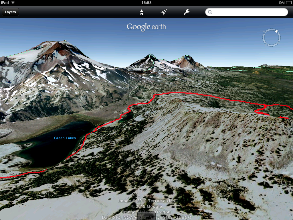
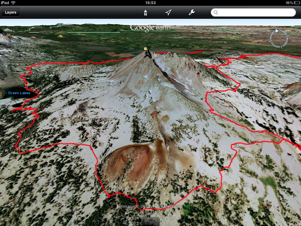
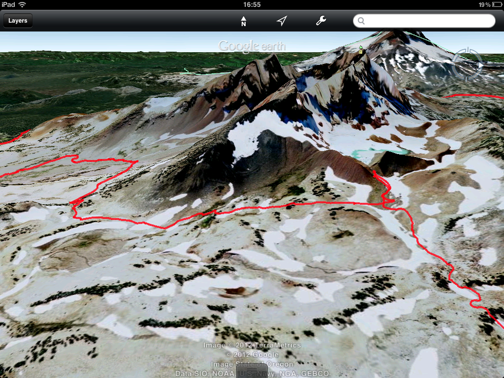
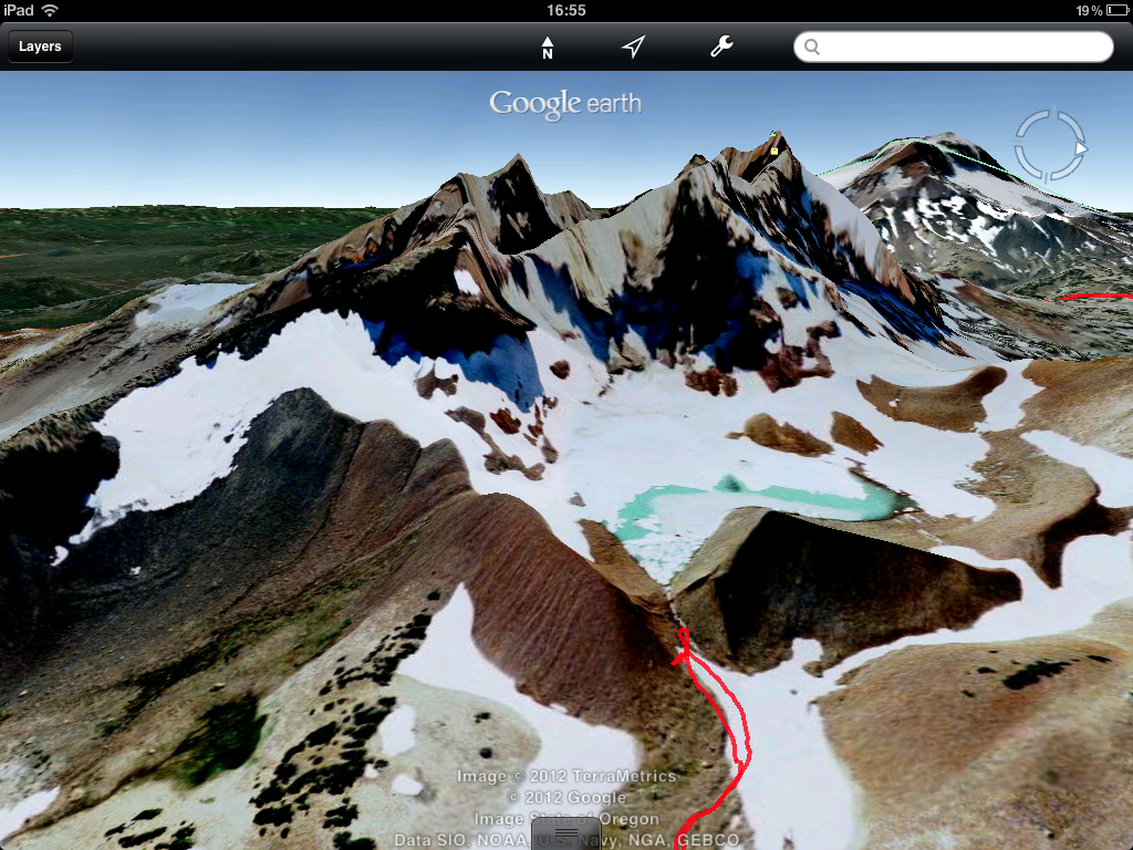
Try summiting South Sister or hiking into Green Lakes. You’ll have stunning views of Bachelor, Broken Top, and the Sisters. Legs sore from all the mountain biking? Try out the Deschutes River Trail. There are many loop options in town, but there are also options for out and back hikes that are gentle on aching bodies that take in beautiful waterfalls like Benham and Dillon Falls. Have time for a backpacking trip? Try out the Broken Top Loop or hike into Jefferson Park.
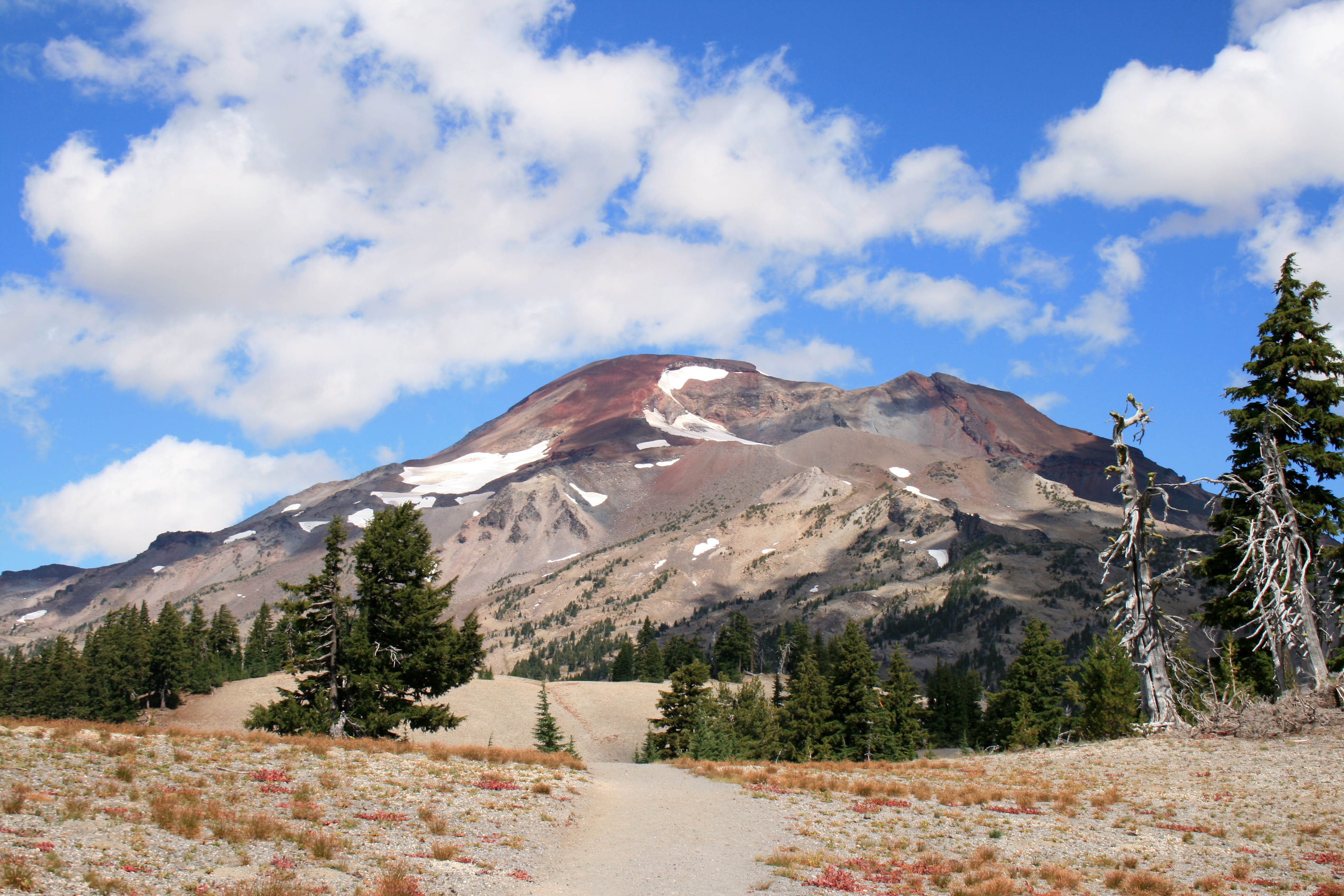
The trail to South Sister.
4. Take a yoga class.
Yes, you can do yoga anywhere, but after all of the intense exercise your body will need a good stretch. My favorites: Juniper Yoga for hot sweaty yoga or a juicy yin class, The Yoga Lab for detailed instruction, and Groove Yoga for pumping music and a sweaty good time. Or schedule a private yoga session with Ambuja Yoga or Yoga Indigo.
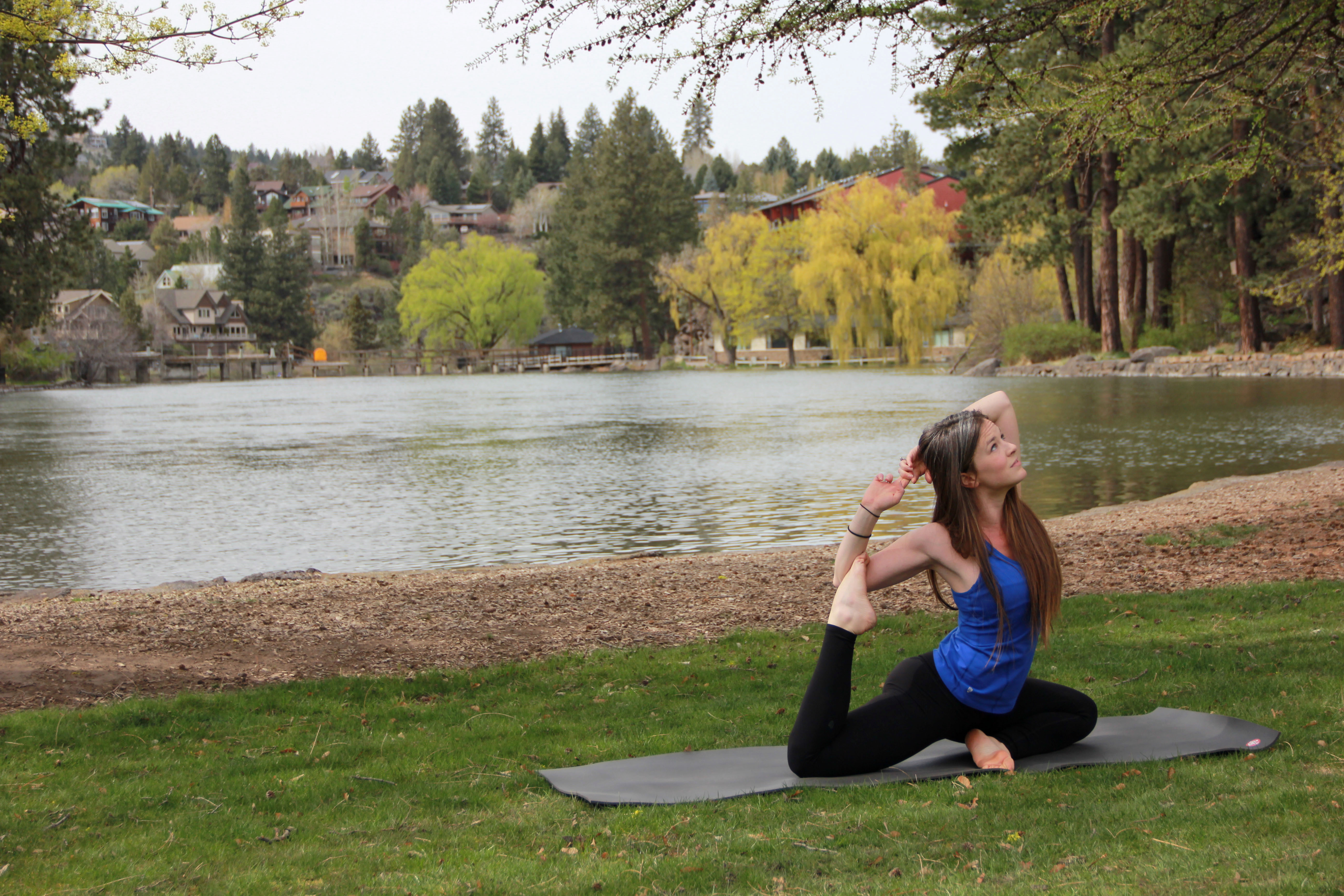
Yoga at Pioneer Park
5. Drink beer!!!
Okay this one’s a no-brainer. But if you don’t have time visit them all how do you choose? Well, my favorite is Crux Fermentation. They’re just off of Colorado Ave., east of 97. In my opinion they have the best beer in town…and they DEFINITELY have the best view in town. They have a huge patio and grassy lawn in which to hang out and appreciate the mountain views and chill with friends. Next up is Boneyard, in downtown Bend. They don’t serve food, there is nowhere to sit, and they only serve beer tasters and growler fills…. And Wednesday nights the growler fills are only 7 bucks!!!! BOOM!!! My third fave is Good Life, they have a handful of beers on tap and they have a nice big grassy area to chill and play lawn games…. lawn darts anyone? If you’re feeling particularly boozy try out the Ale Trail, just space it out over a couple of days, so you don’t make an ass out of yourself… we see it all too often.

Crux all lit up at night.
6. Have Breakfast at The Victorian Cafe.
Breakfast at the Vic has got to be one of my favorite meals in town. Let’s start with the Proud Mary, a gigantic bloody mary with a grilled skewer of housemade sausage, cherry tomato, red onion and a prawn topped with a chunk of pepper jack cheese. The Proud Mary also has peperoncinis, green olives and a breadstick. Heaven!!! And for breakfast… eggs benedict. They’re the best in town and the specials are to die for… duck, wild boar, lobster….you name it, the Victorian has done a special with it. And don’t forget the french toast!!!! Warning: you may need to clear your schedule for the rest of the day.
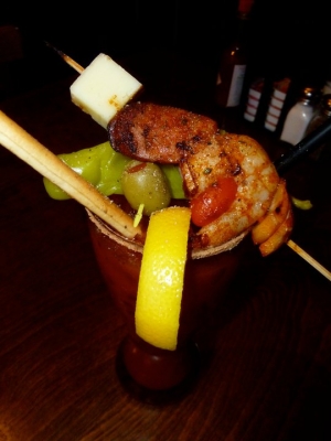
The Proud Mary….
7. Pre-hike/mountain bike coffee.
There is only one place in town that I visit regularly for a hot cup of joe and that’s Strictly Organic on Bond and Arizona. They usually have 4 different organic drip coffees available on top of all the foofy drinks. I’m partially addicted to their breakfast burritos (get the green salsa) and it’s one of my favorite places to meet friends for coffee or tea. They also have a patio to soak up the morning sun and a drive-up window for people on the go.

I hope this helps you plan your weekend in Bend. If you have any questions send me a message.
Visit Bend‘s website has great info about things to do in town and a calendar of local events too.


