McKenzie River Trail & Clear Lake

Koosah-falls-mckenzie-river-trail

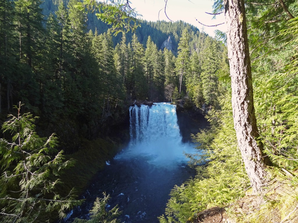
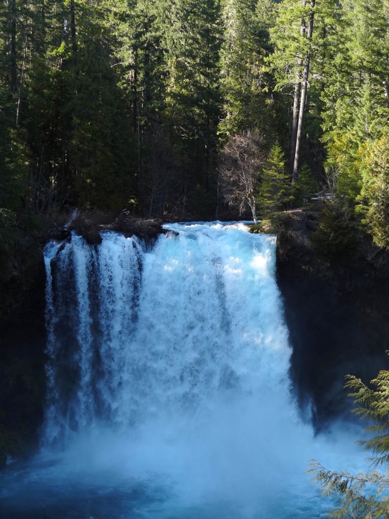
Koosah Falls on the McKenzie River

The McKenzie River Trail is a super popular trail in the Cascade Range. It’s one that I’ve always skipped because I love alpine hiking. After a recommendation from one of my coworkers I figured it was about time to give it a shot, especially with all of the higher hikes still covered in snow.

Quick Stats

Distance: ~26 miles one way from end to end; we did a 12 mile loop taking in Koosah Falls, Sahalie Falls, and Clear Lake.

Time: ~ 5 hrs.

Difficulty: easy to moderate (moderate only due to distance)

Permits: None required

Pros: Beautiful waterfalls, whitewater, and a crystal clear lake

Cons: BUSY!!!! We were up there on a Sunday, once we were away from the falls it wasn’t quite as bad

Dog friendly: So-So, On weekdays it would be fine, but there were loads of people on the Waterfalls Trail, not as much fun for the dogs, but Clear Lake had great swimming for them. Part of the trail crosses lava rock on a paved path with no shade, might be too hot for their paws on a really hot day.
McKenzie-river-trail-view

View of the McKenzie River Trail…you can see it’s not that strenuous…. unless you’re on a mountain bike.

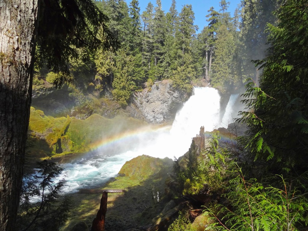
We started our hike at the Koosah Waterfall parking area off of Hwy. 126/McKenzie Hwy. The well maintained trail winds down to a couple of different viewpoints for Koosah Falls, where you will find loads of people snapping pics, it’s easy to understand why, Koosah Falls is stunning. From there we headed up toward Sahalie Falls, less than a mile away. Both of the waterfalls were gushing, yay springtime, and the McKenzie River is so clear, it is magical.

McKenzie_river_trail_sahalie_waterfall

Sahalie Falls

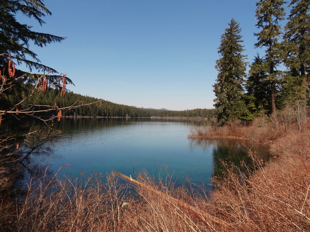
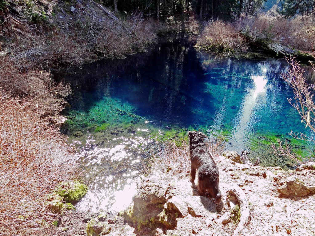
From the waterfalls the trail follows along the McKenzie river a bit further and then crosses highway 126 for Clear Lake, which is supposed to have the best diving in Oregon. There is a forest, that has been preserved by the cold waters, and you can dive through it/around it. The water in Clear Lake really was crystal clear and it looked deceptively like Caribbean water. So no misnomer here.

McKenzie_river_trail_clear_lake

Our first glimpse of Clear Lake

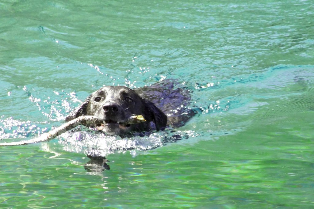
Sal and Jedi went for a dip in the chilly water and incidentally Steve and I ended up nearly  soaked after all of their frantic shaking (My prAna Halle Pants saved me). There were a handful of boats out on Clear Lake, just people out fishing, paddling around and enjoying the beautiful weather. I couldn’t help, but think how awesome it would be to take a standup paddleboard out on the lake. This summer for sure!

McKenzie_river_trail_clear_lake_sal

Typical…Sal playing catch with whatever stick he can find…no matter how cold the water is

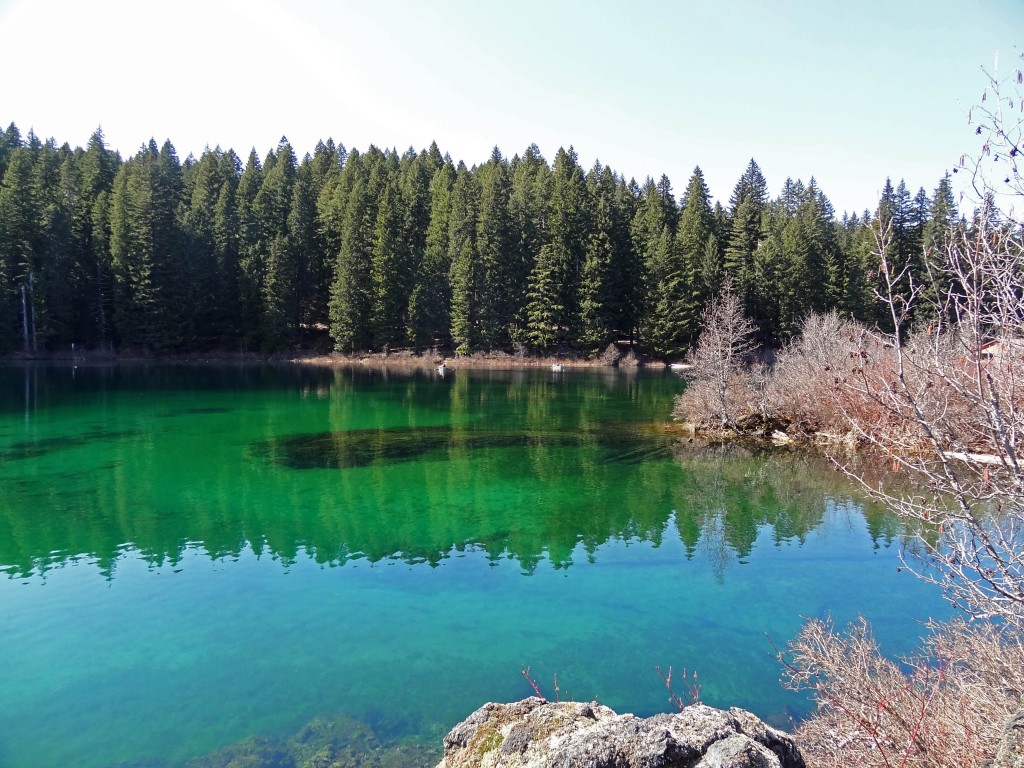
We followed the trail around to the opposite side of Clear Lake, where we found a beautiful pool where water enters the lake through the lava rock. Amazing. I love nature. It’s so beautiful and I love how accessible it is in Oregon. We knew that we wanted to hike atleast 10 miles, but were up for more, so we just followed the trail passed the lake. It eventually crossed another road, followed the river for a bit more, and ended at the trailhead.

McKenzie_river_trail_clear_lake

A little further around the lake….you can really see how clear the water is!!!

McKenzie_river_trail_clear_lake_pool

Pool where water pours through the lava rock at Clear Lake

For our return hike we followed the path back to Clear Lake, then took the other path that lads around the opposite side, goes around a cove and through the Clear Lake Resort. We were pretty hungry, so we stopped for a snack, almonds, Gin-Gins, dried apricots, carrots, and cherry tomatoes for us and carrots and cherry tomatoes for the pups. They’re suckers for veggies. We continued on the path until it met up with the path that brought us to Clear Lake. We continued back the way we came, across the highway, until we came to a bridge that crosses over the McKenzie River. At this point we were on the Waterfall Loop portion of the Mckenzie River Trail, from here we had the opportunity to see the waterfalls (Sahalie and Koosah) from a different angle.

Bridge-mckenzie-river-waterfall-loop-trail

Crossing the bridge for the Mckenzie River Trail Waterfall Loop

The path follows along the river for a bit further. It then enters a parking area, where if you turn left and cross the bridge you can pick up the trail again just on the other side of the river. From here the rest is easy. Enjoy the views of the river for a bit more and then one last glimpse of Koosah Falls before heading up to the parking area.

Koosah-falls-mckenzie-river-trail

Koosah Falls, near the end of our hike.

Note: Portions of the trail are multi-use, which means mountain bikers will be on the trail too. This would be an epic day of mountain biking. There is a shuttle service here too, so you would just have to ride end-to-end. If you’re in the Bend area and don’t want to drive out to the trail, Cog Wild runs a shuttle a couple of days a week.

South Sister Summit

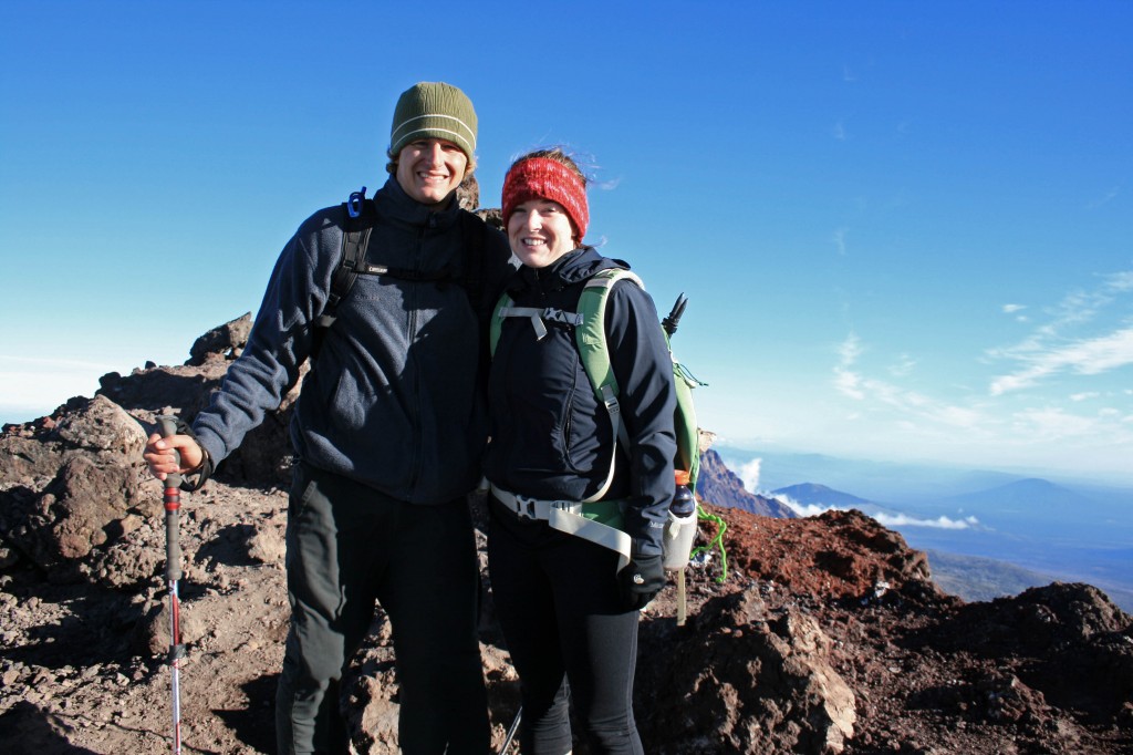
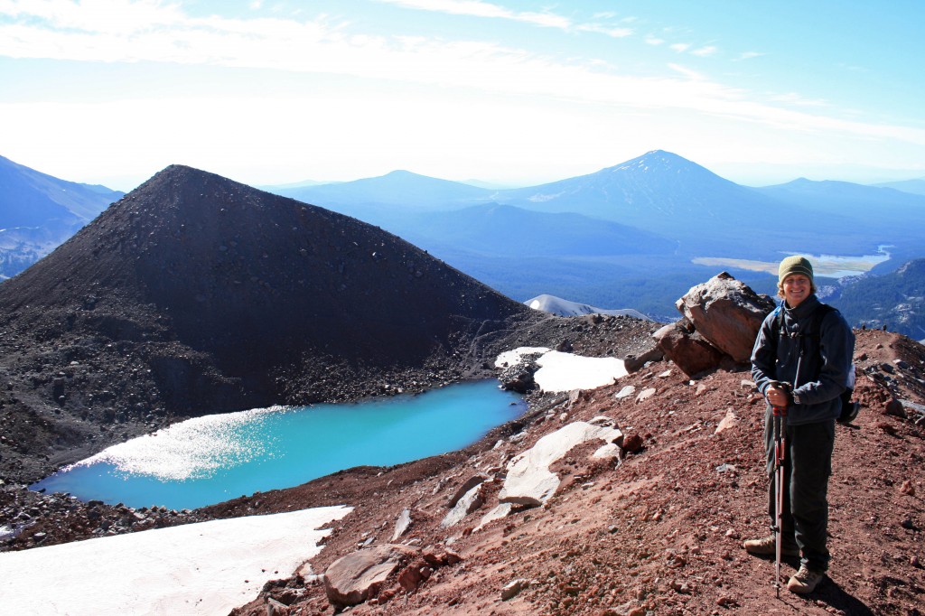
South Sister summit Autumn and Steve

We made it!!!

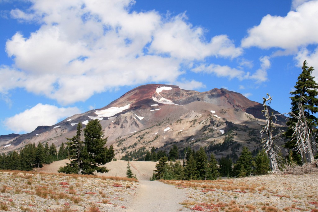
Alright, I’m not gonna lie, I haven’t been on a serious hike since May when Steve, Angie, and I did the Pinnacles trek at Gunung Mulu National Park in Borneo. So naturally, summiting a 10,358 foot mountain would sound like a good idea. Why, oh why, do I do this to myself…

Steve and I usually hike alot, but we just got back from our 6 month trip to Asia, so the last month has been spent looking for a new home, a new car, and a new job (for yours truly). And we moved to the other side of the Cascades…hello sunshine!!!

Quick Stats

Distance: 12.23 miles roundtrip

Time: 7-10 hours

Difficulty: Very challenging, but nontechnical (ie. you don’t need climbing gear)

Season: All year (mid-summer to mid fall for hiking; the rest of the year it’s wise to carry crampons, snowshoes, ice axe, etc.)

Permit: Northwest Forest Pass required; Wilderness permit required, fill out your party’s details at the trailhead

Dog Friendly: Hell NO!!!! The volcanic rock would eat their little paws up; the trail to Moraine Lake would be fine though.

Pros: Views of the Cascades, summiting the third tallest mountain in Oregon, bragging rights, you could camp at Moraine Lake

Cons: SCREE, it’s exhausting, trail can be crowded

South Sister Sunrise1

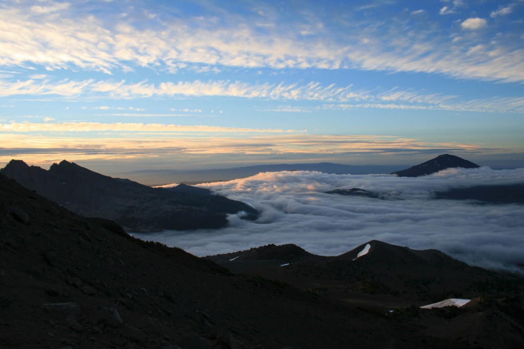
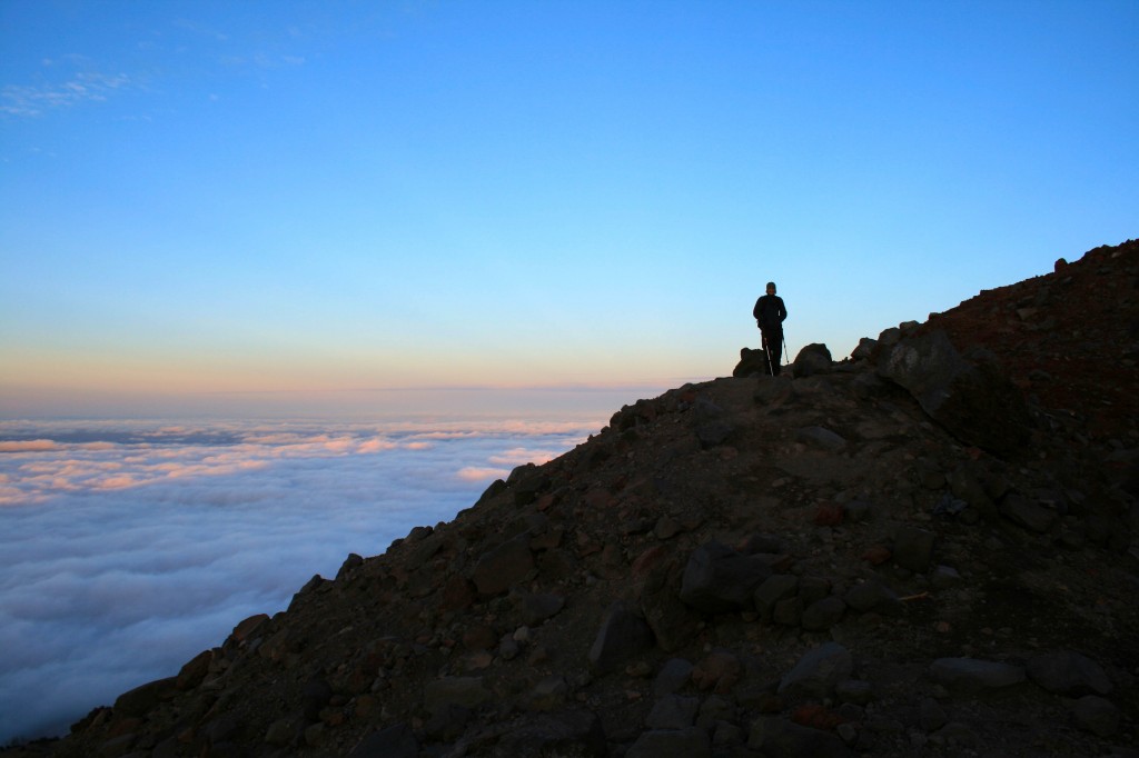
Just above the clouds.

We were hoping to make the summit for sunrise, but quickly realized that there was no way we were going to be up there in time. We arrived at the trailhead around 3/3:30 am on Labor Day weekend….silly kids. Luckily, most people don’t want to hike in the dark, so we hit the trail and only saw two other groups ahead of us…..on the way down it was a different story; we probably saw close to 100 people on their way up. I’m so happy we started early.

South Sister Sunrise

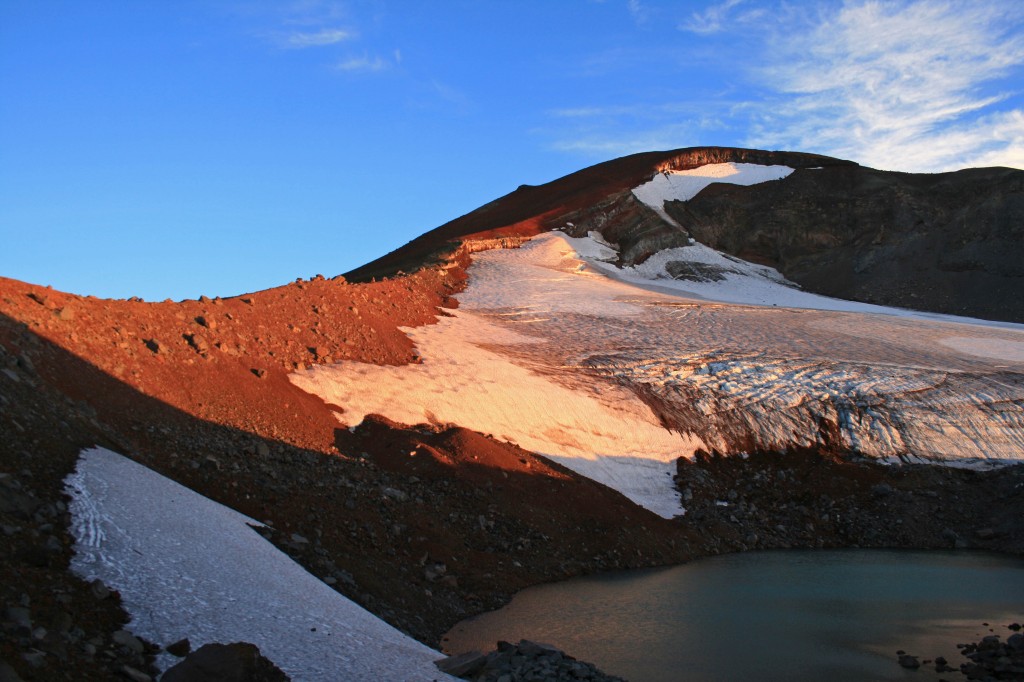
Morning light on the glacier.

The hike itself is just over 12 miles roundtrip from the Devil’s Lake Trailhead and gains approximately 4,900 feet in about 6 miles. It’s a doozy. The hike from the Devil’s Lake trailhead up to Moraine Lake (about 1.5 miles up the hill) is easy enough and the trail is well packed, which you will definitely appreciate after hiking to the summit and back. If the trail up to Moraine Lake is tough for you, you might just want to call it a day and enjoy the lake. It looked beautiful from up above and it would be way more relaxing than a summit attempt.

South Sister Sunrise above the clouds

Steve waiting for me to catch up.

South Sister lakes

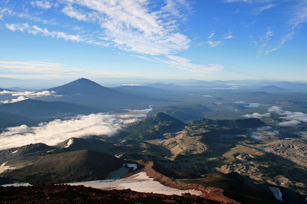
You can see a few of the lakes in this pic and the ridge we hiked up.

I love scree!!! Oh wait, no I don’t. I hate it. It freaks me out! And the summit trail is mostly scree…loads and loads of loose volcanic rock. I definitely had to suck it up and resist the urge to turn around. My fear of falling was overpowering…I’m not truly afraid of heights; I’m afraid of tumbling down a hill. Anyway, I eventually made it to the top, probably 20 minutes after Angie and Steve. They patiently waited for me while there fingers, hands, limbs, and faces froze. The view was beautiful from the top, but it was bitterly cold and even operating the camera was a challenge.

South Sister Summit Autumn and Angie

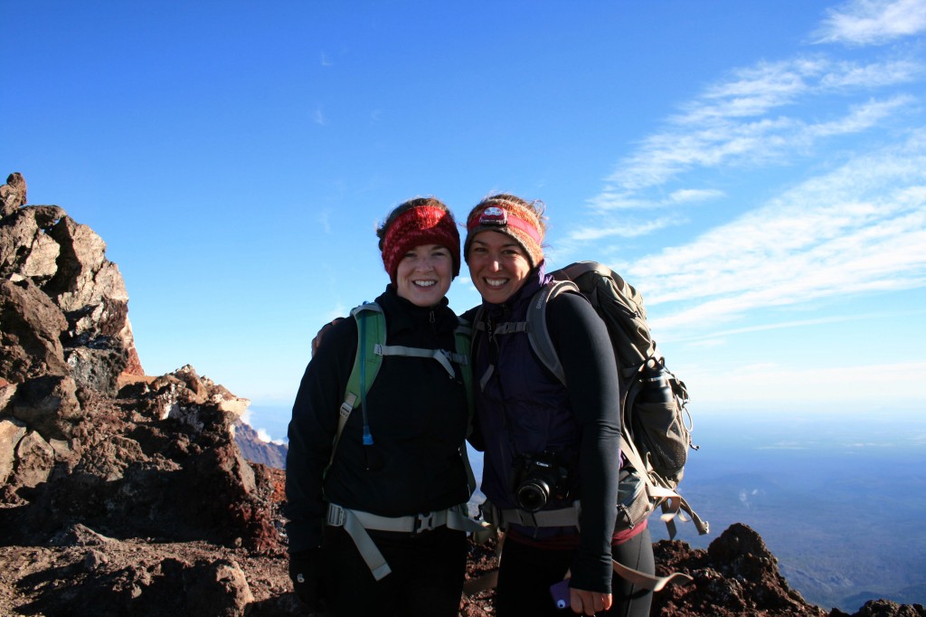
Angie and I took a quick pic before hustling down the mountain to get warm.

Anyway I’m happy to check the South Sister off of the list, but I’m not exactly jumping at the chance to do it again. Will I do it again? Probably, but I need to forget about all of that scree before I even consider it…lol. Maybe they could build some stairs and a put little hot chocolate shop on the summit? Just kidding….it was beautiful, it just so happens that it was really challenging too.

South Sister Steve

Beautiful lake on the way down from the summit…maybe Tear Drop Lake?

South Sister

Check!!!


Notes: Pack your layers. I wore a tank, a Smartwool Midweight top, a vest, a lightweight jacket, leggings, thin gloves and a fleece headband. Honestly, I wish I had brought my Patagonia Down Sweater too. I was fine in boots with no gaiters, but I went fairly slowly. My trekking poles also came in handy, but like I said I was going slow. I saw some people running down in tennis shoes. Pack your sunscreen and sunglasses too. You will definitely need them as there isn’t much shade on the trail until below Moraine Lake.

Resources

Everytrail.com provides a play by play trail guide


Eagle Creek

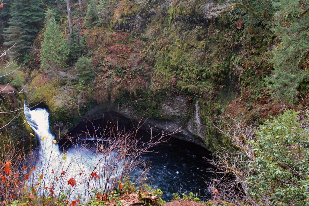
eagle creek punchbowl falls

Punchbowl Falls from the Eagle Creek Trail…if you hike down the Lower Punchbowl Falls side trail you get an even better view of the falls.

Eagle Creek is one of those hikes that is beautiful year round…even in the rain. The trail itself is pretty easy as long as you don’t mind steep drop-offs on one side and the occasional section of slippery wet rocks. The trail follows Eagle Creek up a narrow gorge and can be done as an easy day hike or a (much) longer loop. I’ve hiked as far as Tunnel Falls, but plenty hike up to Wahtum Lake and turn it into an overnighter. I would love to do this hike as a overnighter…it’s so close to Portland….and there’s only a small (a handful of miles) section where you’ll actually break a sweat. Could I convince Steve to go on a winter camping trip? As always, don’t leave anything valuable in your car, let someone know where you’ll be hiking and stay safe by packing the 10 Essentials.

Quick Stats

Distance: ~4 miles to Punchbowl Falls roundtrip; ~8 miles to Tenas Camp roundtrip; ~13 miles to Tunnel Falls roundtrip; ~28 miles to Wahtum Lake roundtrip; 25 miles for the Eagle Creek-Tanner Butte Loop (28 miles or so for the others…depending on side trips)

Time: 2hrs. to Punchbowl rt.; 3 1/2 hrs. to Tenas Camp rt.; 5 hours to Tunnel Falls rt.; 2 days backpacking trip to Wahtum Lake, or 2-3 days to do the Eagle Creek-Tanner Butte Loop (or many of the other loops ie. Ruckle Ridge, Herman Creek, etc.)

Difficulty: Eagle Creek to Tunnel Falls is relatively easy…beyond is moderate to difficult (Ruckle Ridge is more challenging)

Season: Year round to Tunnel Falls; beyond you’ll need snowshoes Nov/Dec to Apr/May and GPS or excellent route finding skills

Dog Friendly: Steep drop-offs….we took ours and plenty of people do, but if your dogs act like a furry tornado when on the trail you might want to rethink taking them

Pros: waterfalls, views of the Columbia River Gorge, clear streams and pretty little lake

Cons: BUSY trail (Eagle Creek) and isolated parking area ie. don’t leave valuables in your car

The trail from Eagle Creek to Punchbowl Falls gradually gains elevation as it follows the creek up the canyon. Stretches of the trail are on sheer drop-offs (in some places there is a cable to hold on to for those who need it) while other sections meander through the forest.

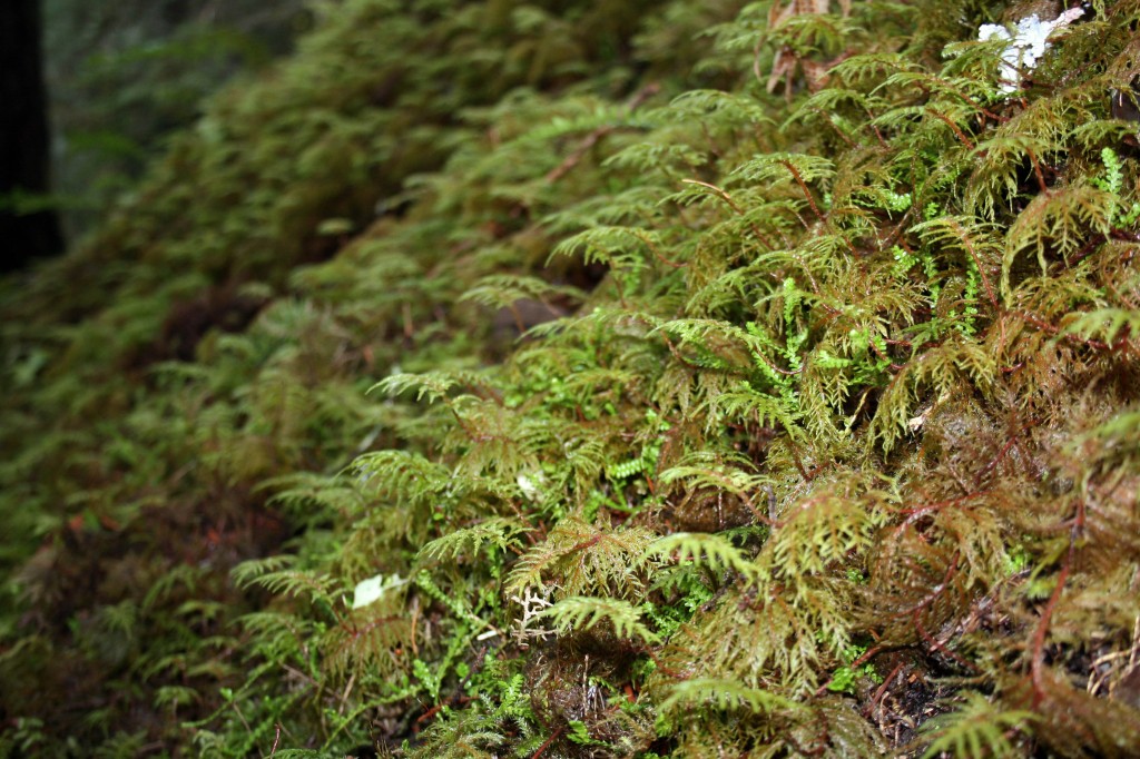
eagle creek ferns

Ferns line the Eagle Creek trail.

I definitely recommend hiking down to the Lower Punchbowl Falls viewpoint…it’s postcard perfect. I unfortunately don’t have pics because I have no idea where I put them…so you’ll just have to “google it.”

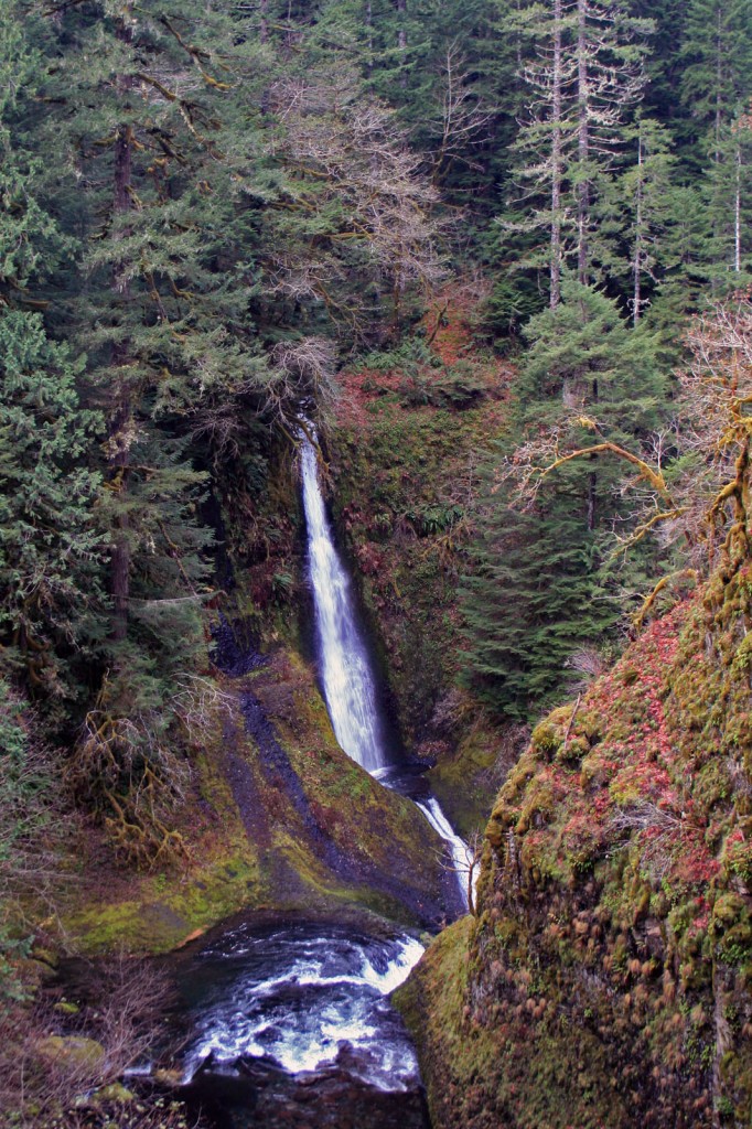
Pretty Loowit Falls is across the canyon from the trail….it has a pretty and scenic pool…if only there was a way to reach it.

Loowit Falls on the Eagle Creek trail

I always love that pool in the middle of the falls…for some reason I always want to swim in it, too bad it’s not possible

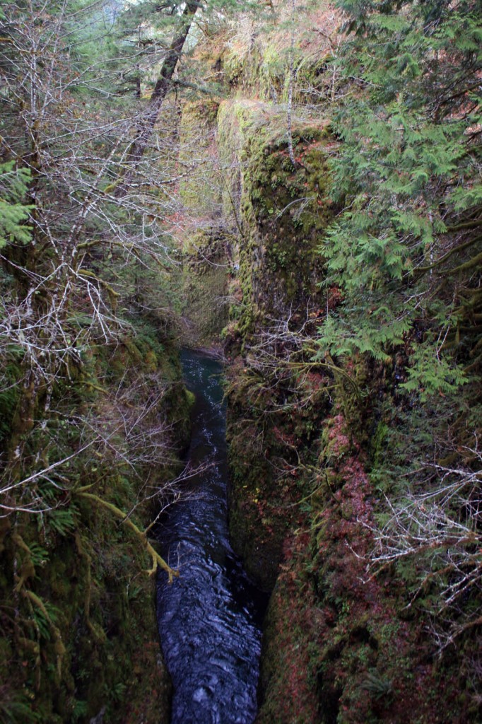
Once you reach High Bridge the canyon narrows and becomes deeper and then widens out a bit before reaching Tunnel Falls. On the way to Tunnel Falls you’ll pass Tenas Camp which is approximately 4 miles from the trailhead.

eagle creek view from high bridge

Here is the view from High Bridge

On our most recent hike (from which these pics were taken) we turned around at the bridge just passed Tenas camp because we had started late and didn’t want to get caught in traffic…and it was December and we didn’t hit the trail until around one and we didn’t want to be hiking back in the dark with our black dogs.

eagle creek wet trail

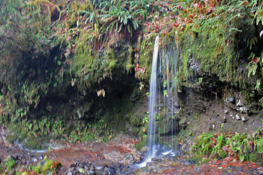
This trail is wet from fall through spring, so be prepared to get splashed, trickled on, rained on….it’s all part of the experience.

I apologize for the lack of pics, but I can’t seem to find any of the pics from previous Eagle Creek hikes. I know they’re here somewhere….I just don’t know where, so until then this is all I have to post.

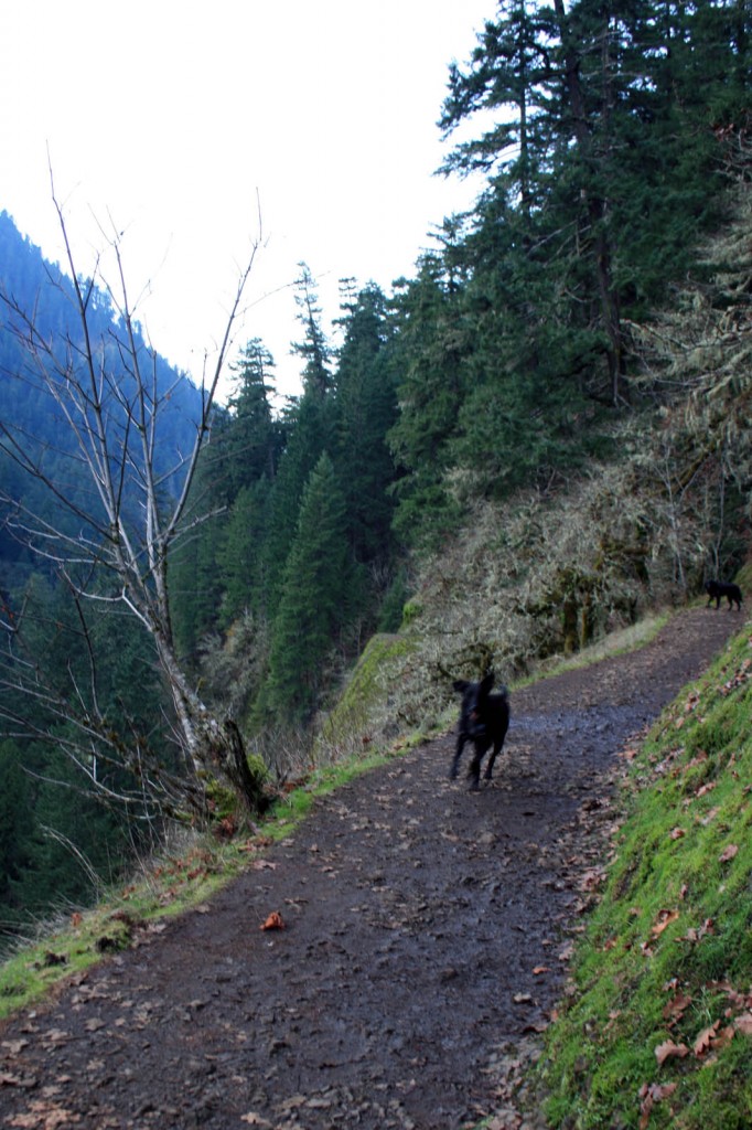
eagle creek trail

Just so you get an idea…this trail really does have some steep drop-offs….in this spot the trail is fairly wide, but that’s not always the case….

If anyone has any tips or pointers about doing Eagle Creek as a loop including Wahtum lake I would love to hear them. I would love to do a winter hike/snowshoe before we leave on our big trip.

Horsetail Falls to Triple Falls

The rain is here, so we better embrace it. What better way to embrace it than to go for a Columbia Gorge waterfall hike and follow it up with a pint on the way back to town. At about 5 miles long and only 700 feet of elevation gain it’s possible to finish this hike in about 2 1/2 hours.

Horsetail Falls

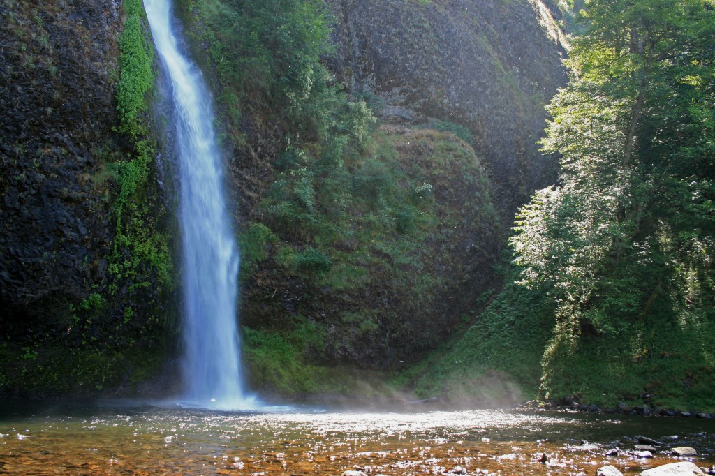
Horsetail Falls off of the scenic highway in the Columbia River Gorge

Quick Stats

Distance: 5 miles roundtrip

Time: 2 1/2 hours

Difficulty: Easy to Moderate

Season: Year round

Dog Friendly: Yes, there are a couple spots for them to wade/drink along the way and the trail is mostly packed dirt, a little rockier near Triple Falls, but nothing an experienced pup can’t handle

Pros: 4 waterfalls, beautiful forest, Oneonta Gorge and proximity to Portland

Cons: I can’t think of any

Permit: None needed

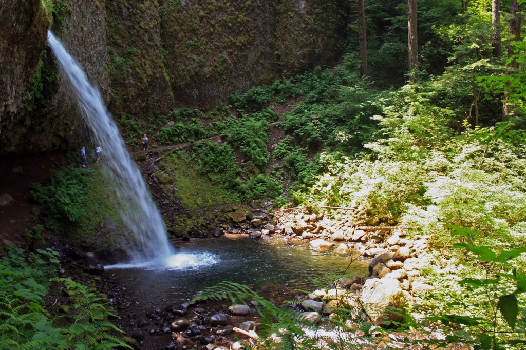
After finding parking at Horsetail Falls, follow the gravel trail .2 miles beyond an informational sign and keep right at the junction. After not too much further you’ll come across Ponytail Falls. The trail passes behind the falls, through a grotto, where moisture drips from the ceiling and a fine, cooling mist spray up from the falls….prepare to get damp.

Ponytail falls on trail to triple falls

Ponytail falls on the trail to Triple Falls

There is a stunning, mossy weeping rock about a mile passed Ponytail falls and from here the trail continues on a bridge across Oneonta Gorge.

triple falls wildflowers

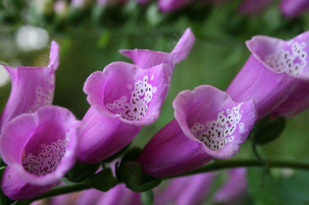
Wildflowers on the trail to Triple Falls in the Columbia River Gorge

Shortly after crossing the bridge there is another junction, turn left and head up the hill about another mile to Triple Falls.

triple falls trail

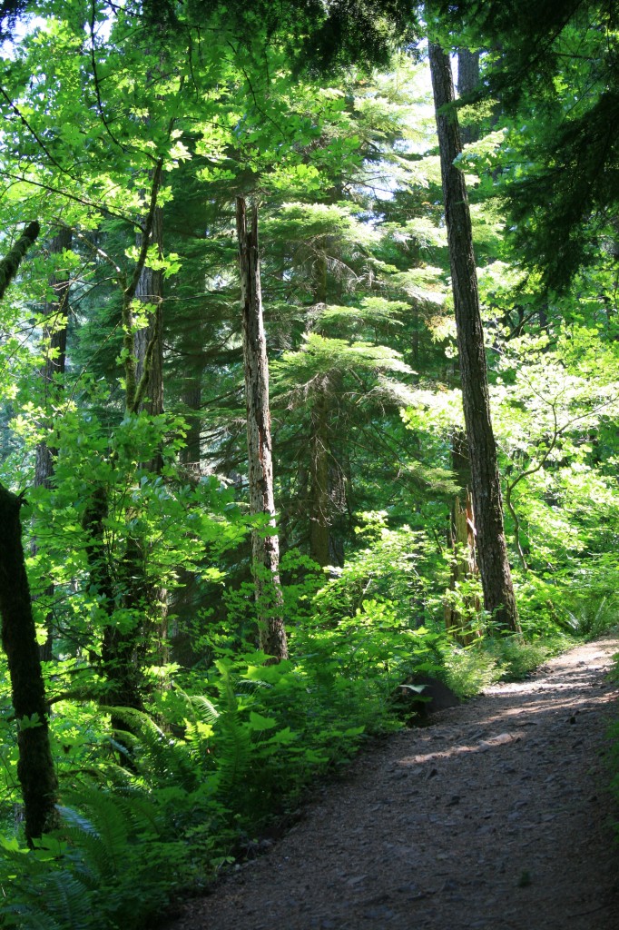
Typical portion of trail on the hike to Triple Falls

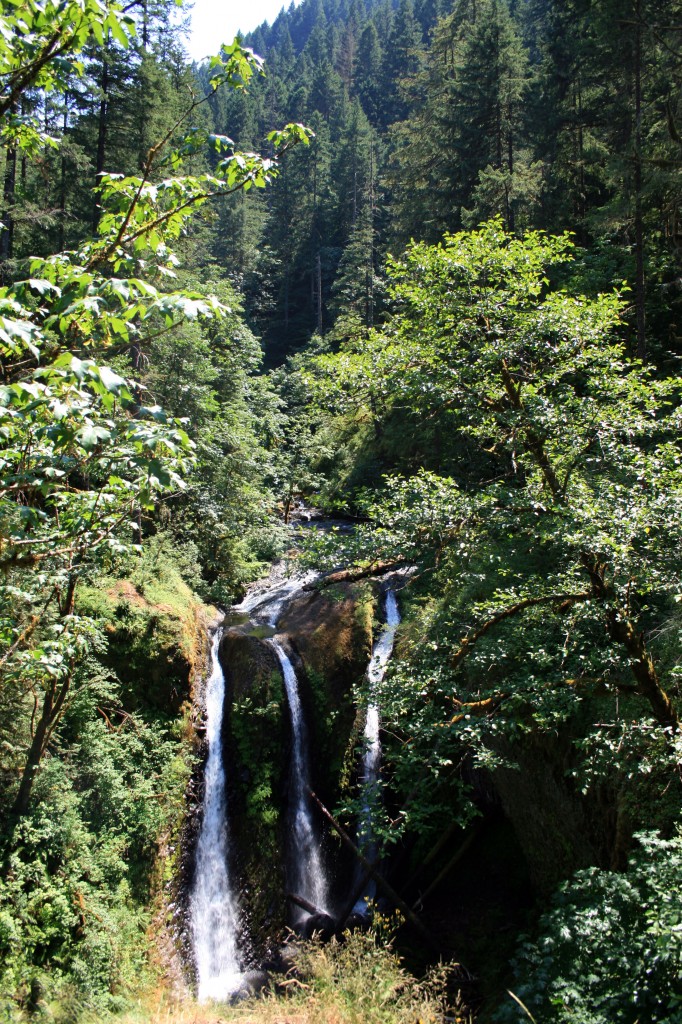
Triple Falls makes a great picnic stop and if you continue above the falls there are a couple of swimming holes great for a dip (if it’s warm and sunny).

triple falls

Triple Falls

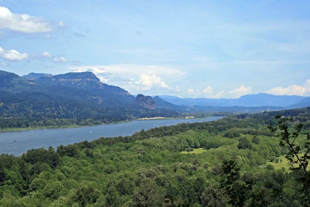
Triple falls columbia gorge view

View of the Columbia River Gorge from the Triple Falls trail

Planning Resources

Opal Creek

This is one of those quintessential Oregon hikes. It has tons of trees and a beautiful creek with crystal clear water. Opal Creek and the surrounding area has been important historically, as well. The area was an important area for trade when the Santiam Indians would set up their summer camp here, then the area became an important mining area. The old mining company eventually ended up donating approximately 4000 acres to The Friends of Opal Creek to help preserve Opal Creek, the Little North Santiam River and the surrounding forest. Relics of the old mining industry and the old saw mill dot the trail and are scattered about Jawbone Flats. This hike is also super easy.

Opal Creek Hike: Little North Santiam River and Sawmill Falls

Opal Creek Hike: Little North Santiam River and Sawmill Falls

Quick Stats

Distance: 7 miles roundtrip to Opal Pool and 10.5 miles roundtrip to Cedar Flats; you could do this as an easy late season backpacking trip if you camped at Cedar Flats.

Time: 2 1/2 hours roundtrip to Opal Pool and probably about 5 hours roundtrip to Cedar Flats

Difficulty: easy

Season: end of March to mid-November, depending on snowfall

Permit: Northwest Forest Pass $5/day or $30/year

Dog Friendly: Yes, the trail is wide enough that you don’t have to worry about them going over the edge, however the water is quick moving in places, so keep an eye on them.

Pros: Virgin forest and a beautifully clear stream, family friendly, lots of cool old buildings and random relics from long ago

Cons: Can be crowded on summer weekends, part of the trail is an old logging road…which makes for an easy, if slightly boring hike (thankfully there were pretty little streams and plenty of creepy crawlers to keep us occupied)

Note: We did this hike in June and there was still snow past the bridge that’s a mile beyond Opal Pool. The bridge was also taped off with caution tape. We crossed anyway, but didn’t get far as we were post-holing with every step.

Plan on getting an early start for this hike. It’s about an hour and a half from Portland.

The Hike

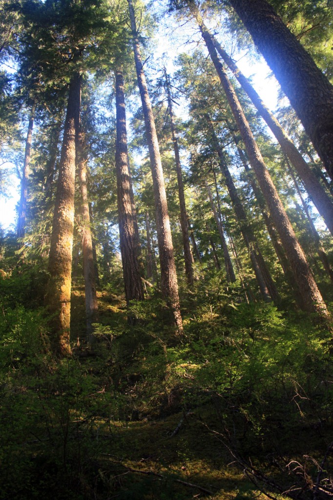
The trail begins at the end of potholed Little North Santiam Road. Park at the gate here and continue on the old logging road beyond the gate. There are some seriously old trees here, one they claim that is between 700 and 1000 years old and plenty with diameters larger than I am tall!!! Awesome!!!

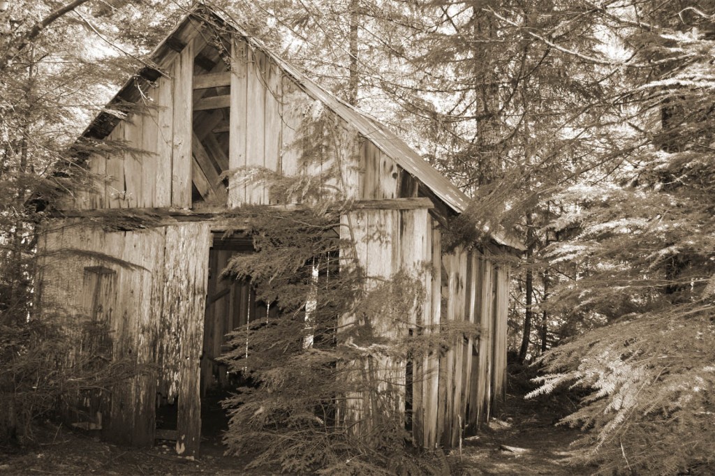
opal creek sawmill

An old building on the Opal Creek trail to Jawbone Flats

At about two miles in you will come across the remnants of the old sawmill and if you follow the bootpath over to the river you will see Sawmill Falls. Continue on to Jawbone Flats where you’ll find historic cabins and some ancient rusted out vehicles.

opal creek jawbone flats company store

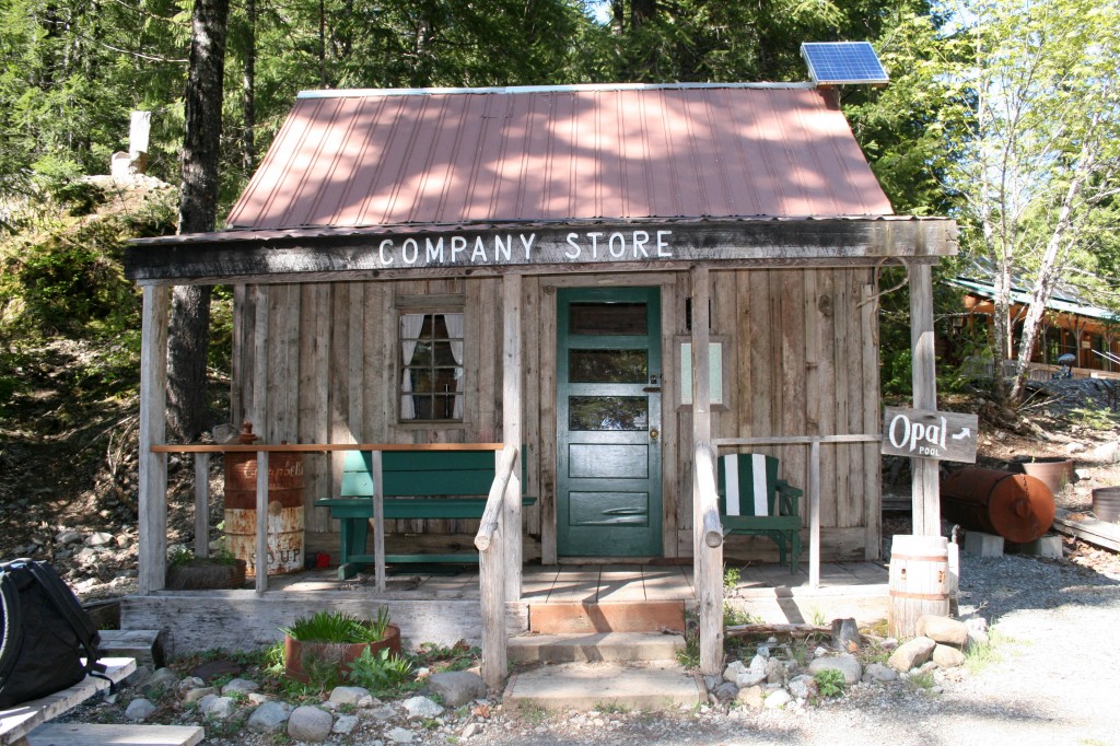
The “Company Store” at Jawbone Flats.

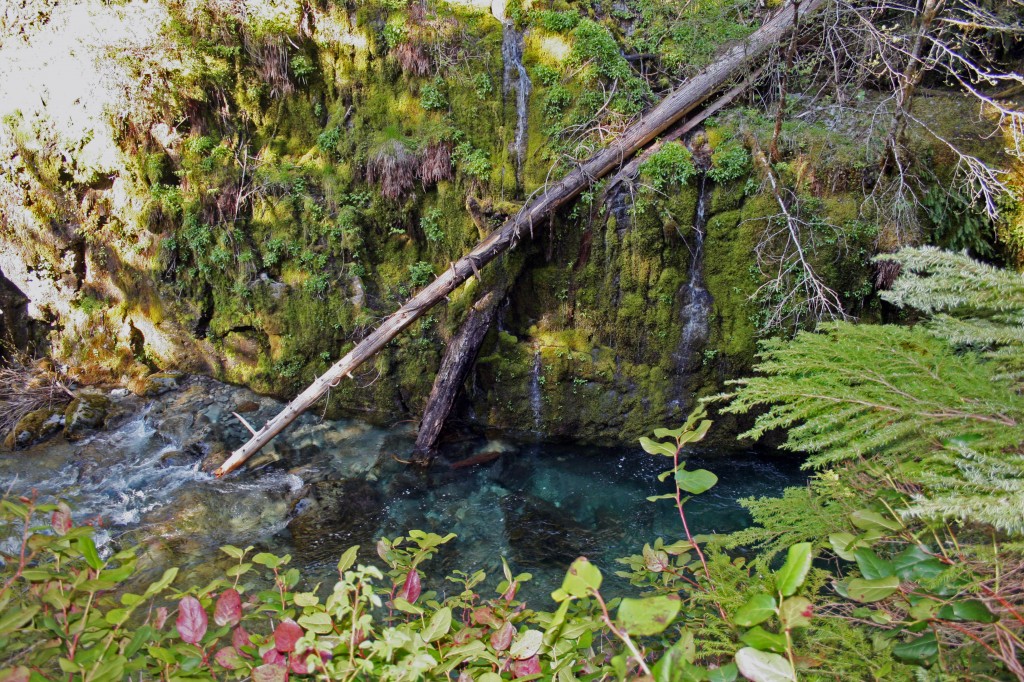
After Jawbone Flats, and the rusted out cars turn to the right toward the creek to visit Opal Pool, it’s about 1/10 of a mile past the cars.

opal creek above opal pool

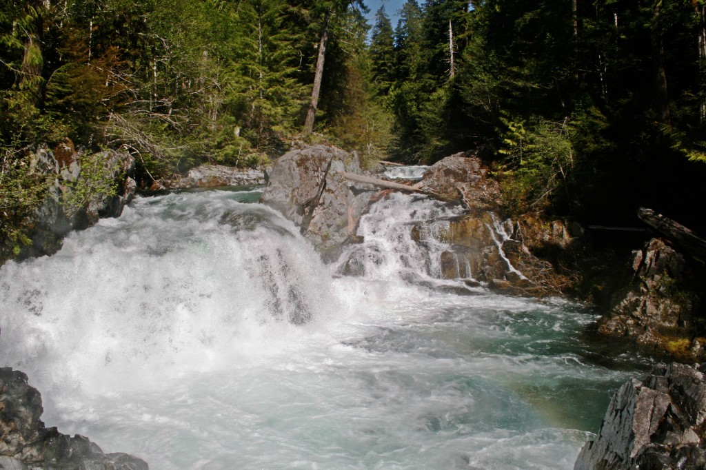
Gorgeous deep Opal Creek

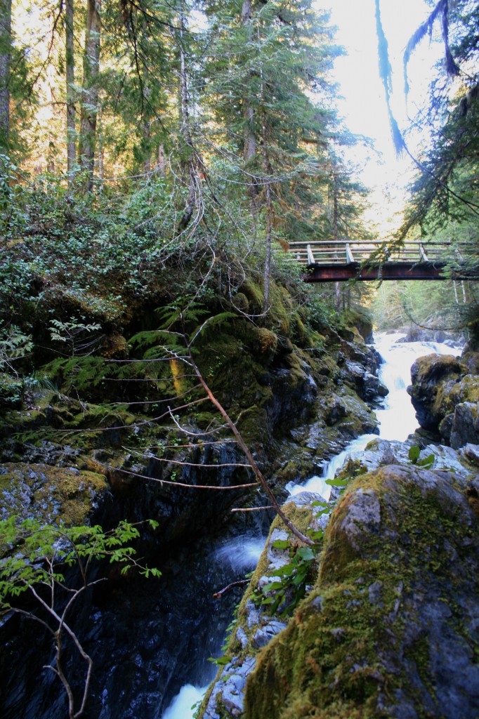
Cross the bridge above Opal Pool and continue left on a trail that follows along Opal Creek. About one mile up the trail crosses the creek on a bridge (that was taped off with caution tape) continue at your own risk. The bridge was stable “enough”, but the water moves pretty quickly down below. We crossed, but there was too much snow, so we ended up turning around and not making it to Cedar Flats. At Cedar Flats there are supposedly a few 1000 year old trees still hanging around, Maybe next time we’ll make it up there.
bridge over Opal Creek

Bridge over Opal Creek.
opal creek 1

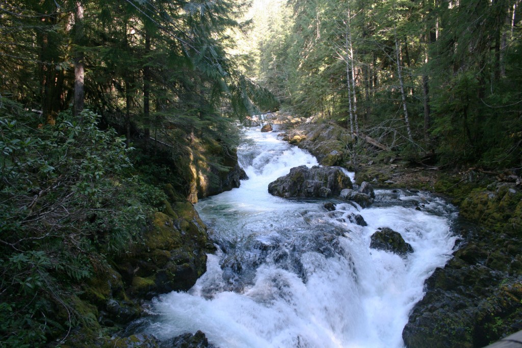
Opal Creek

To return, continue back down the Opal Creek trail. Don’t cross back over to Jawbone Flats, but instead continue down the trail where it eventually crosses back over Little North Santiam River to meet up with the logging road that you came in on. Turn left on the logging road and continue  back to your car.

Opal Creek trees

Sunlit trees at Opal Creek

For more detailed hiking instructions check out these two books. They both have great trail info and history.

The Portland Hiker’s Field Guide is also a good resource.

Can You Walk to Laguna de Apoyo?

private beach at laguna de apoyo

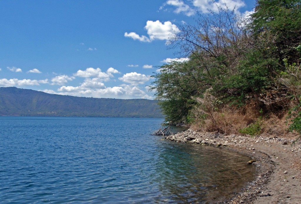
The view from our “private” beach at Laguna de Apoyo.

Yep, you sure can and we did. The Moon Guidebook for Nicaragua has basic directions for walking and has more information for visiting the lake’s restaurants and hotels.

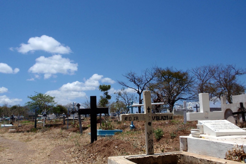
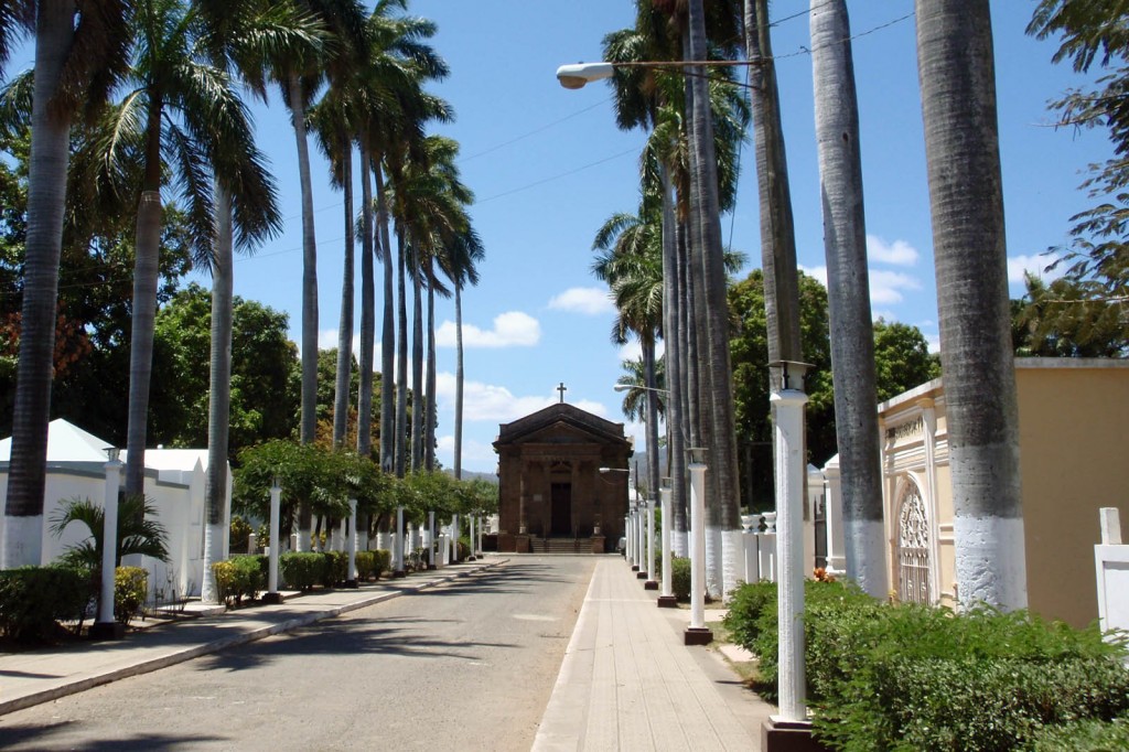
Being the young an adventurous type we walked… from Granada…a very long, hot walk.  First, we had to walk through Granada’s cemetery, past the tombs of the rich and beyond the unadorned graves of the poor.

Granada's cemetery

Our walk through Granada’s cemetery begins.

Granada's cemetery

Beautifully sculptured tombs in Granada’s cemetery

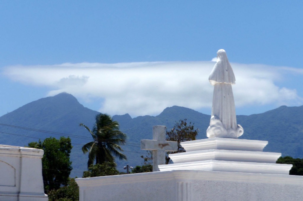
tomb statue facing the mountains of Nicaragua

Statue of a saint facing the mountains surrounding Granada, Nicaragua.

Where the less prominent families of Granada are buried.

Where the less prominent families of Granada are buried.

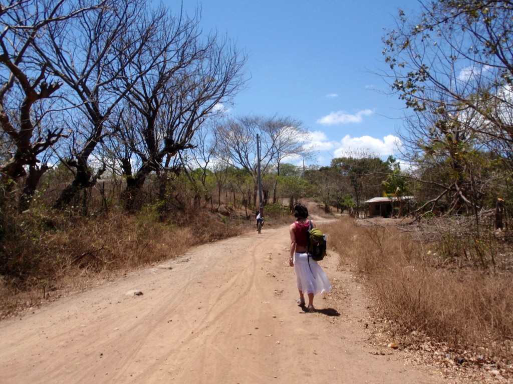
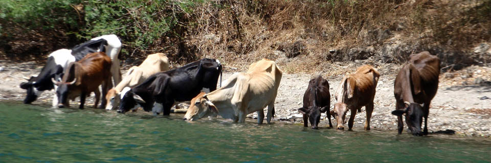
Then we followed the dirt road on the northeast side of the cemetery (I think it was the back right corner) all the way until the end and then hiked down a cattle path to a teeny, tiny beach that we had all to ourselves…well, until a farmer showed up to water his cows.

the road to laguna de apoyo

The road to Laguna de Apoyo.

My travel companion had jumped into the crystal clear lake with all of his cash and passport in his shorts, and had laid it out over a log to dry when the cows showed up; instead of stealing my friend’s cash the rock wielding farmer began chucking rocks at his cows. Love the Nicaraguan people.

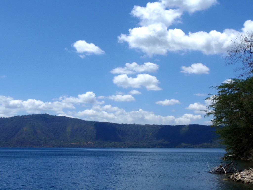
deep blue Laguna de Apoyo

Deep blue Laguna de Apoyo. The bottom of the crater is the lowest spot in Nicaragua. The lake has tons of endemic species and offers scuba diving.

Moo....cows at Laguna de Apoyo

Moo….these cows interrupted our sunbathing and swimming, but kept us giggling all afternoon.

Walking to the lake definitely provided a more interesting and cultural experience, but if you would prefer something more predictable hop one of the local buses out to one of the restaurant, beach combos on the other side where you can lay on a dock and sip Toñas all afternoon.

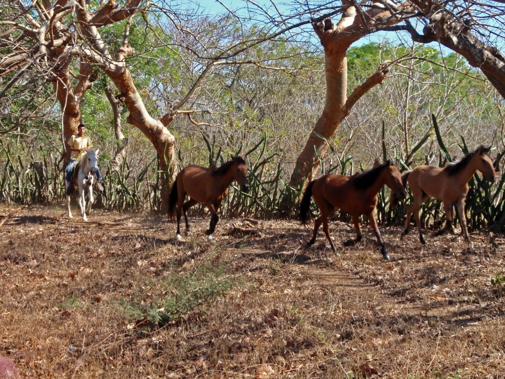
Farmer taking his horses to water

Farmer taking his horses to water at Laguna de Apoyo near Granada, Nicaragua.

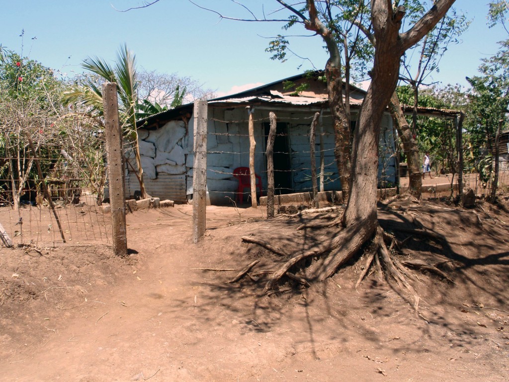
typical home on the walk to Laguna de Apoyo

Typical home on the walk to Laguna de Apoyo.

I personally was thrilled with the randomness of our little adventure; we met a farmer…and his cows, we hitch hiked half the way to the lake crammed into the back of a Jeep with about 5 other people, had a perfect little beach to ourselves, watched a farmer run his horses, explored the cemetery where some of Nicaragua’s presidents are supposedly buried and had a chance to see the real Nicaragua as we walked past rural homes.

If you’re walking stuff your day pack with plenty of water and snacks, ask for directions (people might think you’re crazy; we got some pretty weird looks) and allow an entire day.


Angels Rest

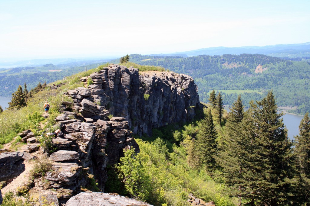
Angels Rest

Angels Rest viewed from the trail to/from Devil’s Rest

Quick Stats

Distance: 4.6 miles roundtrip (out and back)

Time: 2.5 hours

Difficulty: moderate

Elevation Gain: approx. 1400 feet

Season: All Year; might get snow on top during the winter months

Permit: none needed

Dog Friendly: Sort of, if you trust your dog around drop offs they will do fine. We always make sure to keep Sal and Jedi leashed when at the top.

Pros: Close to Portland, great views of the Columbia River Gorge, mostly shady except on the rock slide and on top, moderate grade

Cons: Busy trail

Angels Rest is one of my favorite hikes in the Portland area. It’s super close to town, it’s just long/hard enough to make you feel like you worked out, and the view on top is stunning. It’s a great escape from the city.

Angels Rest Looking East

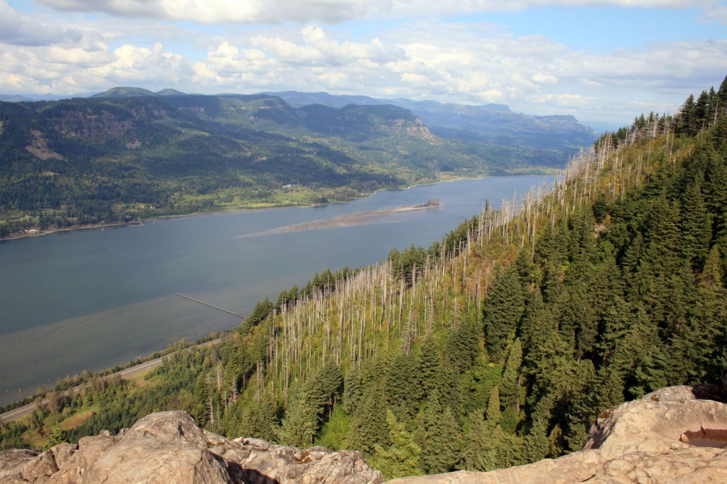
the view from Angels Rest looking east at the Columbia River Gorge

To get there drive east on I-84 from Portland and take Exit 28/Bridal Veil. The trailhead parking is just to the right of the intersection with the Historic Columbia River Highway. The trailhead is marked and is opposite the Highway from the parking area.

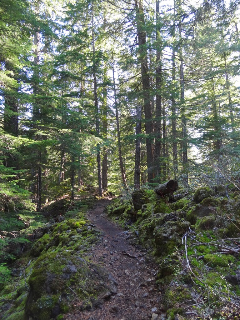
The trail begins with a fairly moderate grade, continuing through the trees with the occasional view of the Columbia River Gorge or Coopey Falls. After about a mile the trail begins switchbacking as the grade steepens. Wildflowers line the trail until you cross a rock slide, which means you’ve almost made it to the top. Yay!

Angels Rest Caterpillar

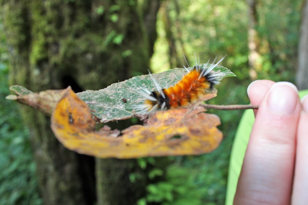
Caterpillar on the Angels Rest trail.

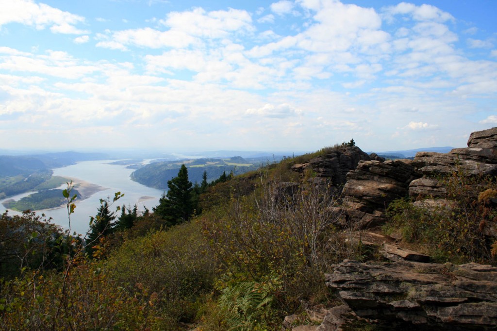
All of that hard work and sweat will pay off. Follow the path toward the point, some easy scrambling will be involved, and enjoy the view. From Angels Rest you look across the river to Beacon Rock, Hamilton Mountain, and Table Mountain (which are all hikeable) and to the west you can see the Vista House. There is usually a nice breeze up top, so it’s a great place to enjoy the sunshine and eat your lunch before heading back to town.

Angels Rest looking westward

Angel’s Rest looking west

Although the hike itself is pretty moderate if you have creaky knees bring your trekking poles…you’ll be happy you remembered them on the return down. Steve swears by his Black Diamond Trekking Poles and uses them religiously…I however only use mine for trails that have miles of sustained downhill, so I didn’t pack mine and I was fine.

It’s also possible to reach Angels Rest from Wahkeena Falls, by doing the Devils Rest/Angels Rest Loop hike for a more challenging, longer day hike.

After your hike head in to Troutdale and grab a beer at McMenamins Edgefield…. the service will be mediocre, but occasionally they’ll have a couple of good beers on tap…and the grounds are good for wandering.

Resources

www.portlandhikersfieldguide.org