Horsetail Falls to Triple Falls

The rain is here, so we better embrace it. What better way to embrace it than to go for a Columbia Gorge waterfall hike and follow it up with a pint on the way back to town. At about 5 miles long and only 700 feet of elevation gain it’s possible to finish this hike in about 2 1/2 hours.

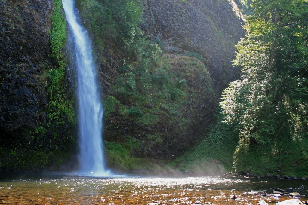
Horsetail Falls

Horsetail Falls off of the scenic highway in the Columbia River Gorge

Quick Stats

Distance: 5 miles roundtrip

Time: 2 1/2 hours

Difficulty: Easy to Moderate

Season: Year round

Dog Friendly: Yes, there are a couple spots for them to wade/drink along the way and the trail is mostly packed dirt, a little rockier near Triple Falls, but nothing an experienced pup can’t handle

Pros: 4 waterfalls, beautiful forest, Oneonta Gorge and proximity to Portland

Cons: I can’t think of any

Permit: None needed

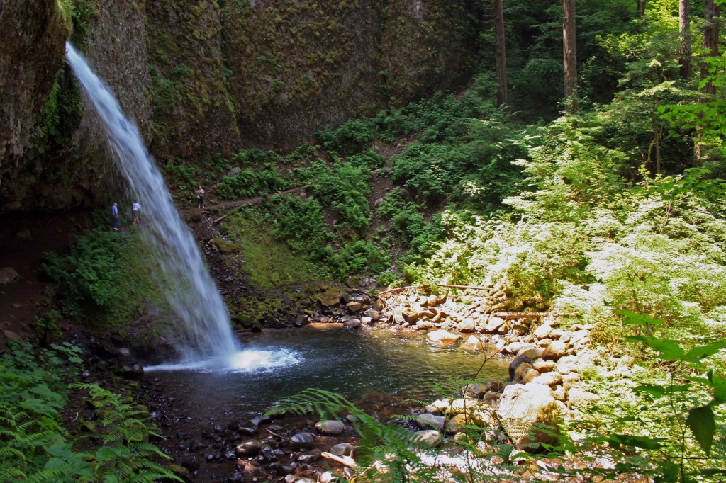
After finding parking at Horsetail Falls, follow the gravel trail .2 miles beyond an informational sign and keep right at the junction. After not too much further you’ll come across Ponytail Falls. The trail passes behind the falls, through a grotto, where moisture drips from the ceiling and a fine, cooling mist spray up from the falls….prepare to get damp.

Ponytail falls on trail to triple falls

Ponytail falls on the trail to Triple Falls

There is a stunning, mossy weeping rock about a mile passed Ponytail falls and from here the trail continues on a bridge across Oneonta Gorge.

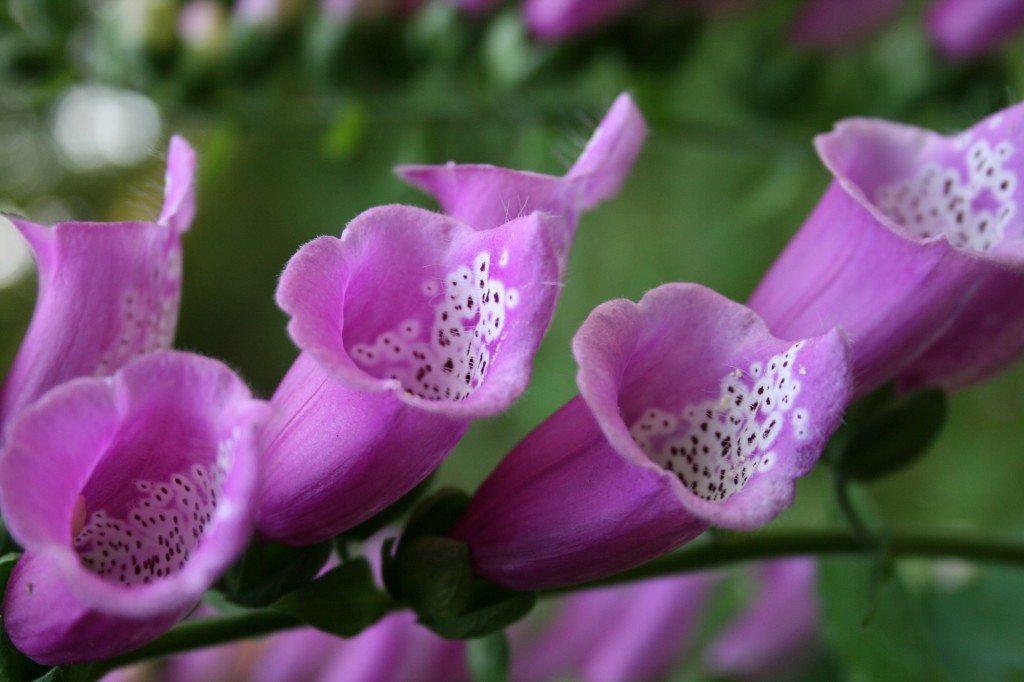
triple falls wildflowers

Wildflowers on the trail to Triple Falls in the Columbia River Gorge

Shortly after crossing the bridge there is another junction, turn left and head up the hill about another mile to Triple Falls.

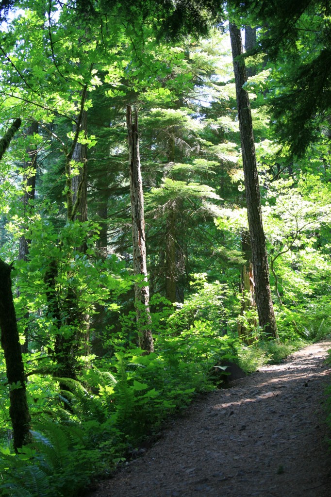
triple falls trail

Typical portion of trail on the hike to Triple Falls

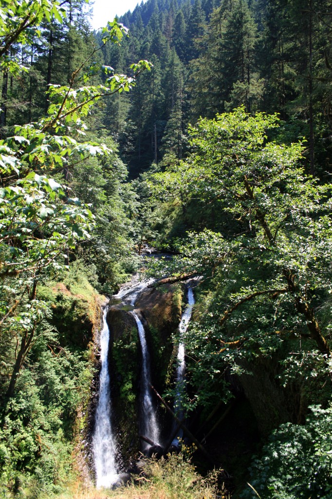
Triple Falls makes a great picnic stop and if you continue above the falls there are a couple of swimming holes great for a dip (if it’s warm and sunny).

triple falls

Triple Falls

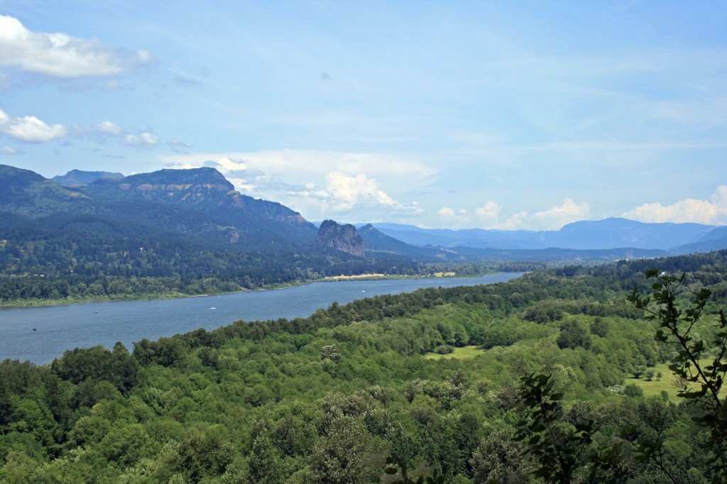
Triple falls columbia gorge view

View of the Columbia River Gorge from the Triple Falls trail

Planning Resources

Angels Rest

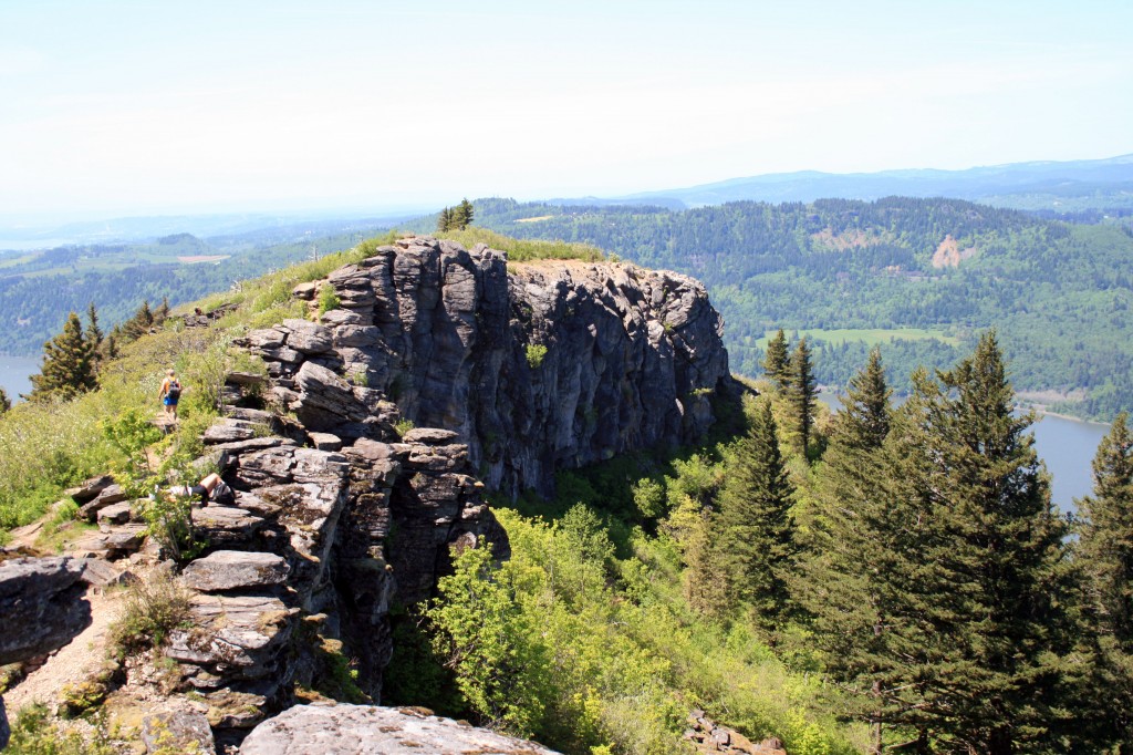
Angels Rest

Angels Rest viewed from the trail to/from Devil’s Rest

Quick Stats

Distance: 4.6 miles roundtrip (out and back)

Time: 2.5 hours

Difficulty: moderate

Elevation Gain: approx. 1400 feet

Season: All Year; might get snow on top during the winter months

Permit: none needed

Dog Friendly: Sort of, if you trust your dog around drop offs they will do fine. We always make sure to keep Sal and Jedi leashed when at the top.

Pros: Close to Portland, great views of the Columbia River Gorge, mostly shady except on the rock slide and on top, moderate grade

Cons: Busy trail

Angels Rest is one of my favorite hikes in the Portland area. It’s super close to town, it’s just long/hard enough to make you feel like you worked out, and the view on top is stunning. It’s a great escape from the city.

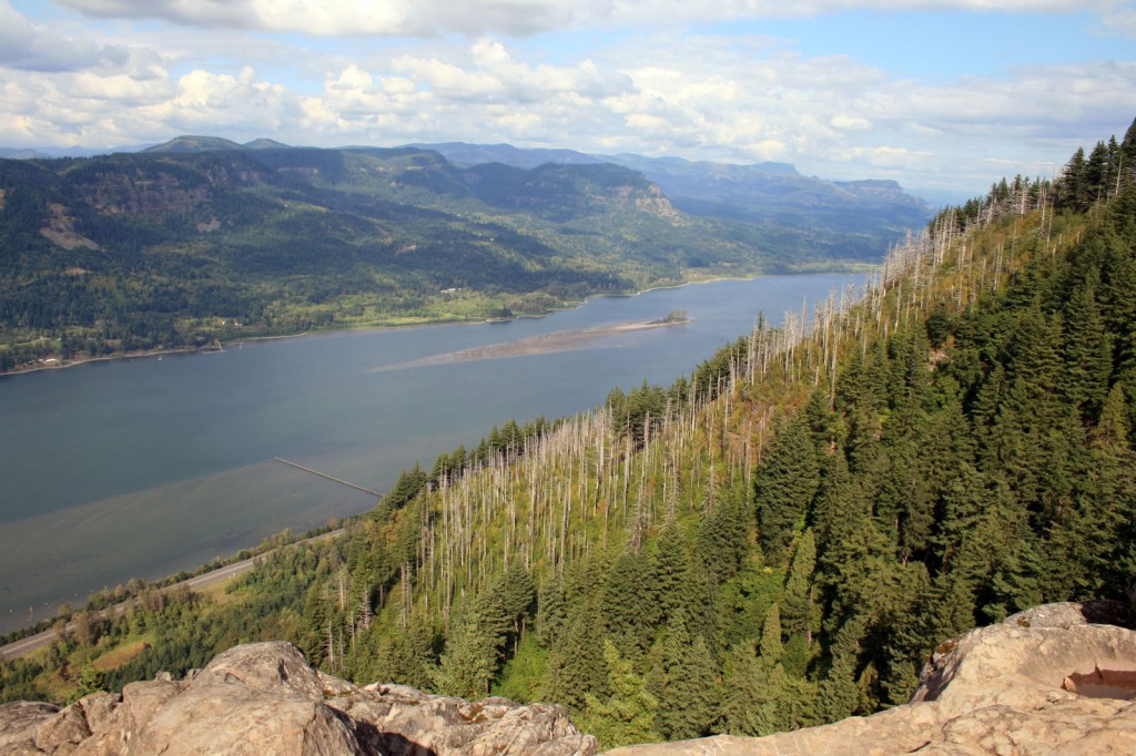
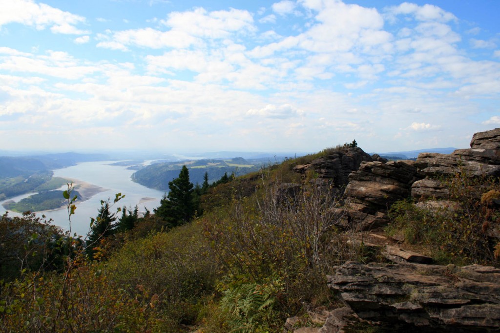
Angels Rest Looking East

the view from Angels Rest looking east at the Columbia River Gorge

To get there drive east on I-84 from Portland and take Exit 28/Bridal Veil. The trailhead parking is just to the right of the intersection with the Historic Columbia River Highway. The trailhead is marked and is opposite the Highway from the parking area.

The trail begins with a fairly moderate grade, continuing through the trees with the occasional view of the Columbia River Gorge or Coopey Falls. After about a mile the trail begins switchbacking as the grade steepens. Wildflowers line the trail until you cross a rock slide, which means you’ve almost made it to the top. Yay!

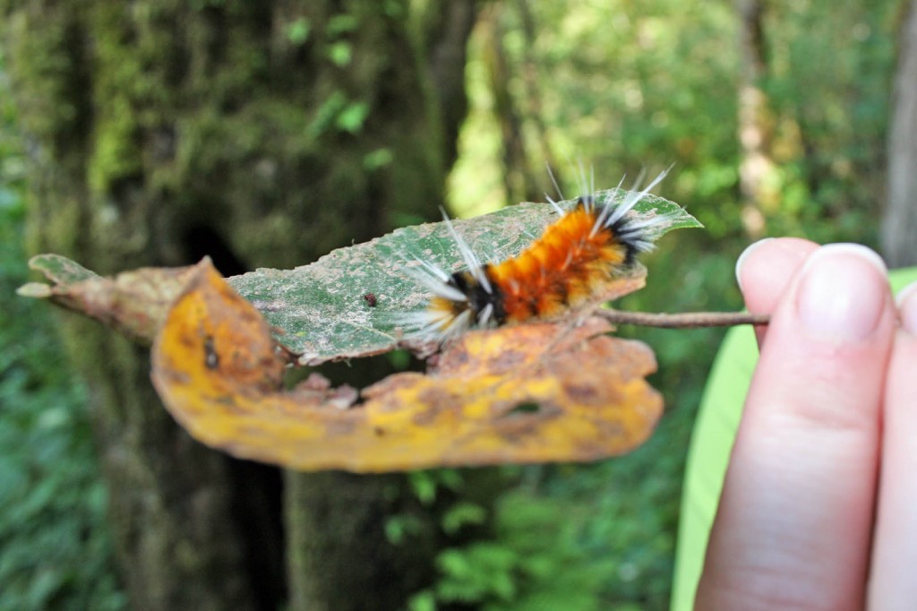
Angels Rest Caterpillar

Caterpillar on the Angels Rest trail.

All of that hard work and sweat will pay off. Follow the path toward the point, some easy scrambling will be involved, and enjoy the view. From Angels Rest you look across the river to Beacon Rock, Hamilton Mountain, and Table Mountain (which are all hikeable) and to the west you can see the Vista House. There is usually a nice breeze up top, so it’s a great place to enjoy the sunshine and eat your lunch before heading back to town.

Angels Rest looking westward

Angel’s Rest looking west

Although the hike itself is pretty moderate if you have creaky knees bring your trekking poles…you’ll be happy you remembered them on the return down. Steve swears by his Black Diamond Trekking Poles and uses them religiously…I however only use mine for trails that have miles of sustained downhill, so I didn’t pack mine and I was fine.

It’s also possible to reach Angels Rest from Wahkeena Falls, by doing the Devils Rest/Angels Rest Loop hike for a more challenging, longer day hike.

After your hike head in to Troutdale and grab a beer at McMenamins Edgefield…. the service will be mediocre, but occasionally they’ll have a couple of good beers on tap…and the grounds are good for wandering.

Resources

www.portlandhikersfieldguide.org