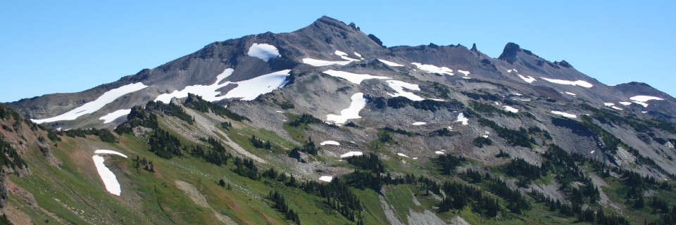
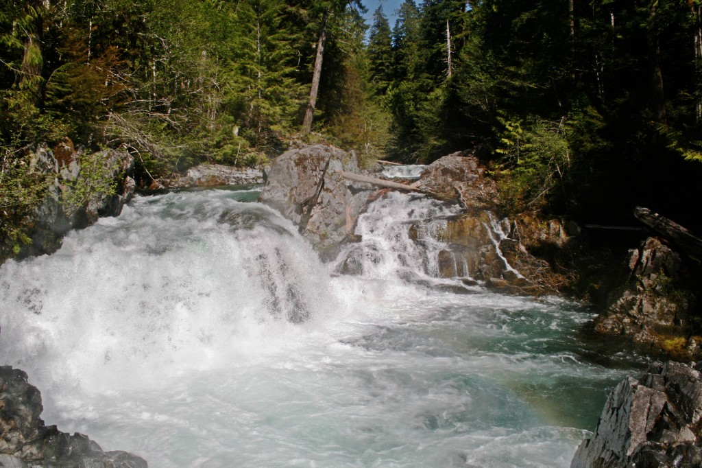
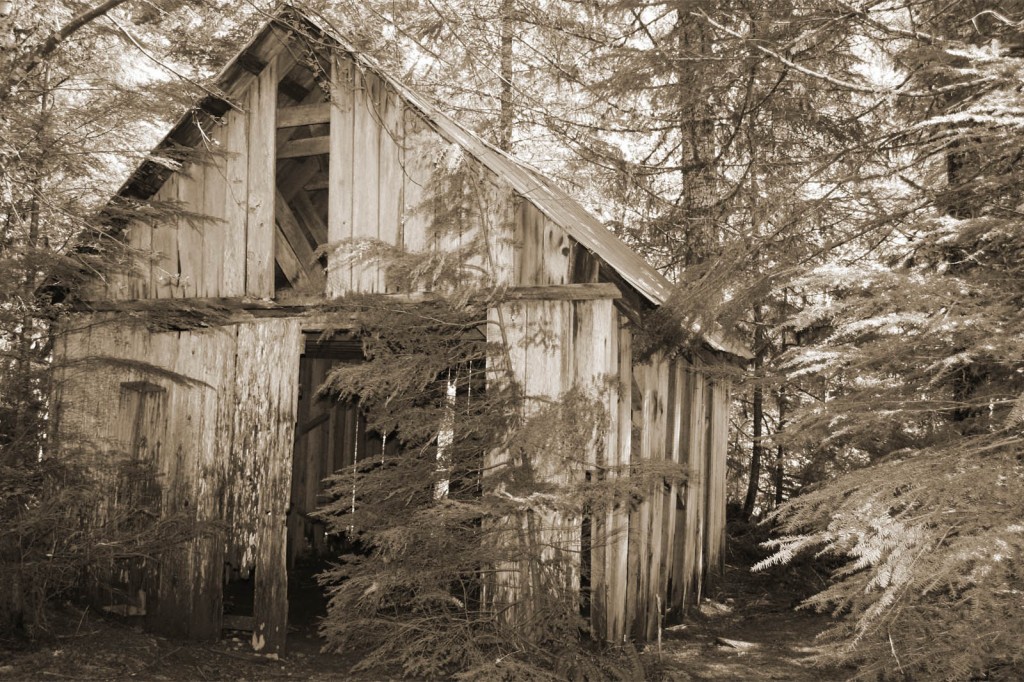
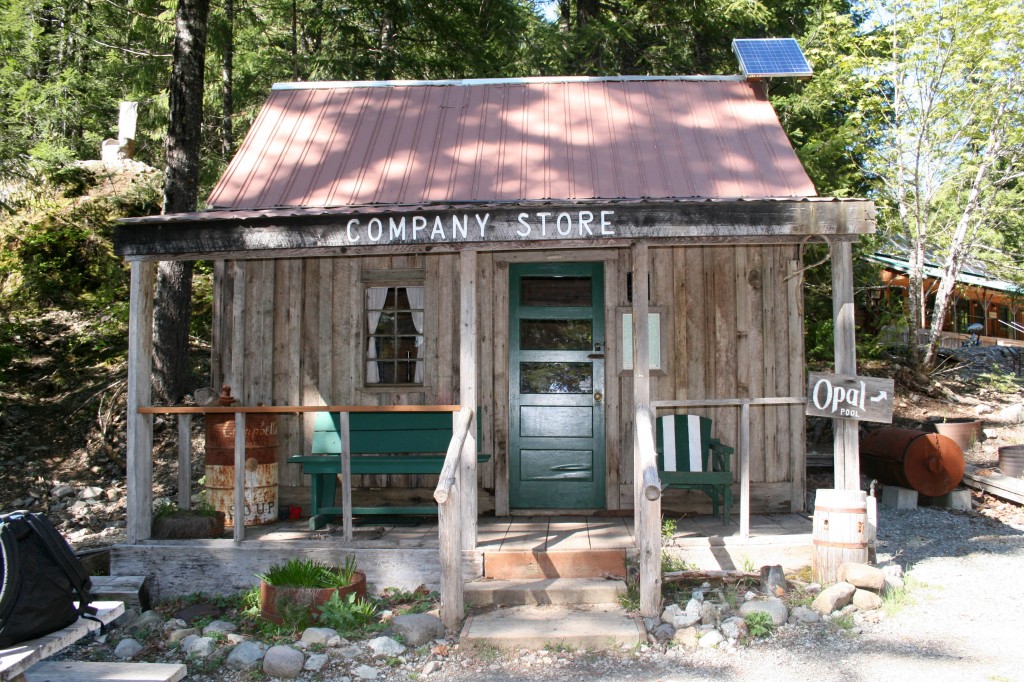
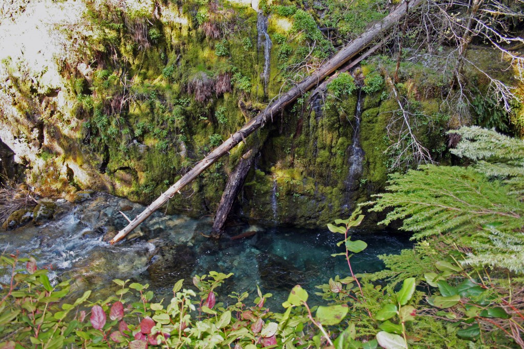
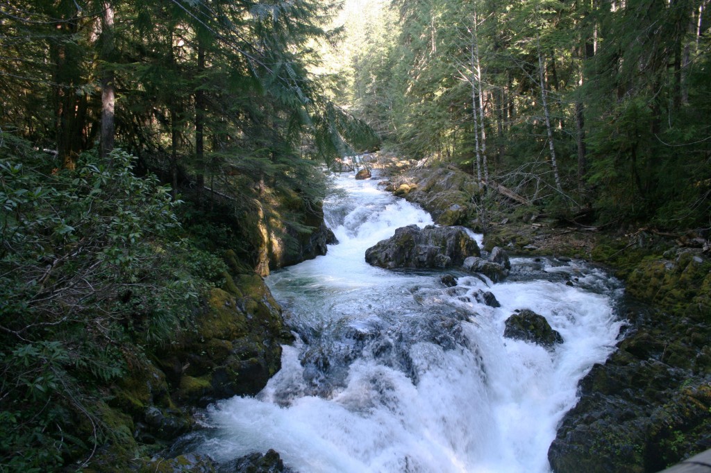
This is one of those quintessential Oregon hikes. It has tons of trees and a beautiful creek with crystal clear water. Opal Creek and the surrounding area has been important historically, as well. The area was an important area for trade when the Santiam Indians would set up their summer camp here, then the area became an important mining area. The old mining company eventually ended up donating approximately 4000 acres to The Friends of Opal Creek to help preserve Opal Creek, the Little North Santiam River and the surrounding forest. Relics of the old mining industry and the old saw mill dot the trail and are scattered about Jawbone Flats. This hike is also super easy.
Quick Stats
Distance: 7 miles roundtrip to Opal Pool and 10.5 miles roundtrip to Cedar Flats; you could do this as an easy late season backpacking trip if you camped at Cedar Flats.
Time: 2 1/2 hours roundtrip to Opal Pool and probably about 5 hours roundtrip to Cedar Flats
Difficulty: easy
Season: end of March to mid-November, depending on snowfall
Permit: Northwest Forest Pass $5/day or $30/year
Dog Friendly: Yes, the trail is wide enough that you don’t have to worry about them going over the edge, however the water is quick moving in places, so keep an eye on them.
Pros: Virgin forest and a beautifully clear stream, family friendly, lots of cool old buildings and random relics from long ago
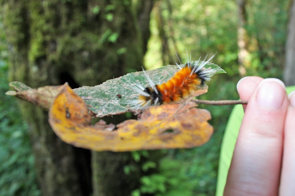
Cons: Can be crowded on summer weekends, part of the trail is an old logging road…which makes for an easy, if slightly boring hike (thankfully there were pretty little streams and plenty of creepy crawlers to keep us occupied)
Note: We did this hike in June and there was still snow past the bridge that’s a mile beyond Opal Pool. The bridge was also taped off with caution tape. We crossed anyway, but didn’t get far as we were post-holing with every step.
Plan on getting an early start for this hike. It’s about an hour and a half from Portland.
The Hike
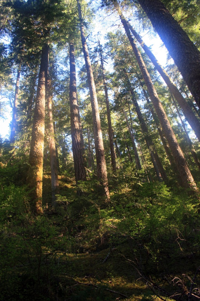
The trail begins at the end of potholed Little North Santiam Road. Park at the gate here and continue on the old logging road beyond the gate. There are some seriously old trees here, one they claim that is between 700 and 1000 years old and plenty with diameters larger than I am tall!!! Awesome!!!
At about two miles in you will come across the remnants of the old sawmill and if you follow the bootpath over to the river you will see Sawmill Falls. Continue on to Jawbone Flats where you’ll find historic cabins and some ancient rusted out vehicles.
After Jawbone Flats, and the rusted out cars turn to the right toward the creek to visit Opal Pool, it’s about 1/10 of a mile past the cars.
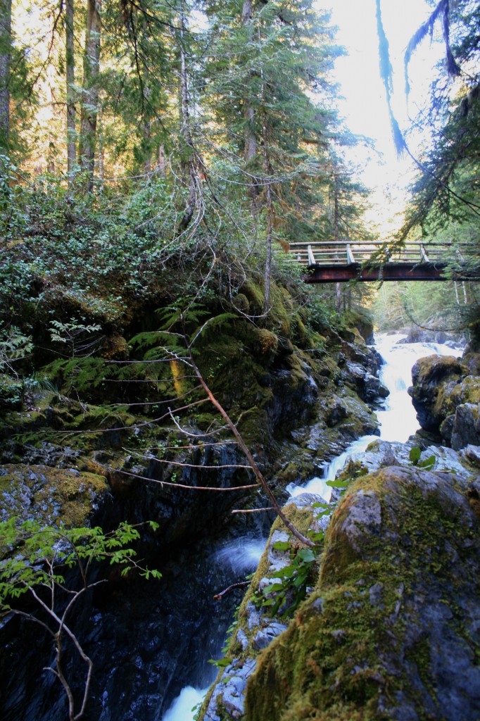
Cross the bridge above Opal Pool and continue left on a trail that follows along Opal Creek. About one mile up the trail crosses the creek on a bridge (that was taped off with caution tape) continue at your own risk. The bridge was stable “enough”, but the water moves pretty quickly down below. We crossed, but there was too much snow, so we ended up turning around and not making it to Cedar Flats. At Cedar Flats there are supposedly a few 1000 year old trees still hanging around, Maybe next time we’ll make it up there.
To return, continue back down the Opal Creek trail. Don’t cross back over to Jawbone Flats, but instead continue down the trail where it eventually crosses back over Little North Santiam River to meet up with the logging road that you came in on. Turn left on the logging road and continue back to your car.
For more detailed hiking instructions check out these two books. They both have great trail info and history.
The Portland Hiker’s Field Guide is also a good resource.
