McKenzie River Trail & Clear Lake

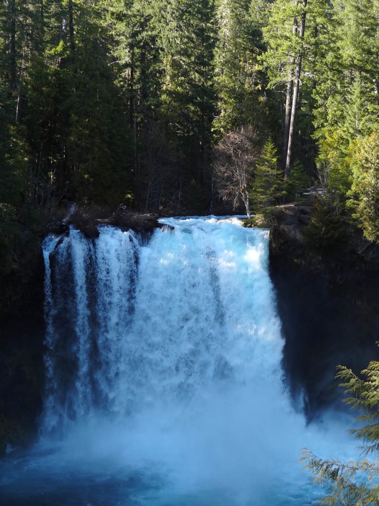
Koosah-falls-mckenzie-river-trail

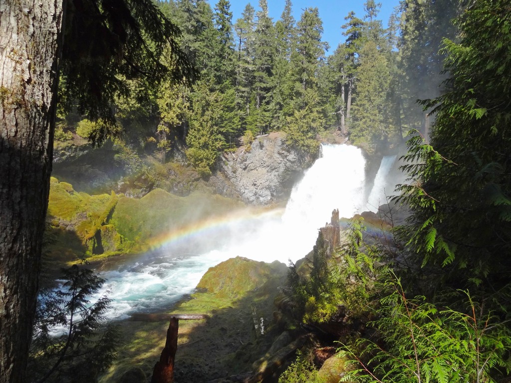
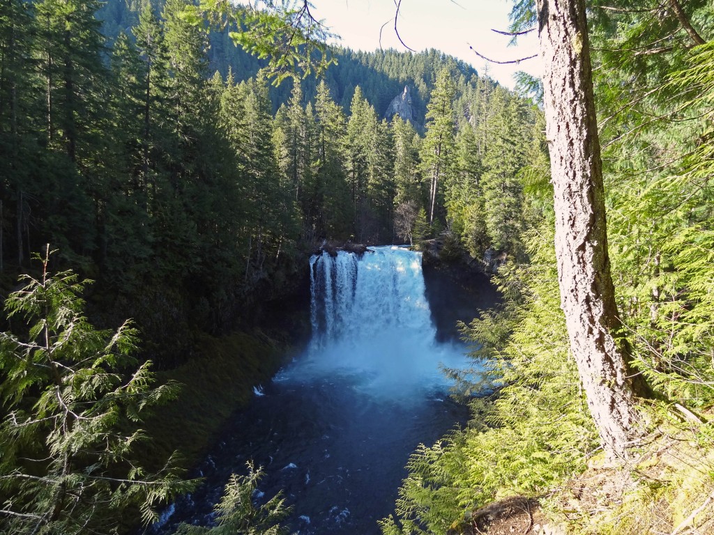
Koosah Falls on the McKenzie River

The McKenzie River Trail is a super popular trail in the Cascade Range. It’s one that I’ve always skipped because I love alpine hiking. After a recommendation from one of my coworkers I figured it was about time to give it a shot, especially with all of the higher hikes still covered in snow.

Quick Stats

Distance: ~26 miles one way from end to end; we did a 12 mile loop taking in Koosah Falls, Sahalie Falls, and Clear Lake.

Time: ~ 5 hrs.

Difficulty: easy to moderate (moderate only due to distance)

Permits: None required

Pros: Beautiful waterfalls, whitewater, and a crystal clear lake

Cons: BUSY!!!! We were up there on a Sunday, once we were away from the falls it wasn’t quite as bad

Dog friendly: So-So, On weekdays it would be fine, but there were loads of people on the Waterfalls Trail, not as much fun for the dogs, but Clear Lake had great swimming for them. Part of the trail crosses lava rock on a paved path with no shade, might be too hot for their paws on a really hot day.
McKenzie-river-trail-view

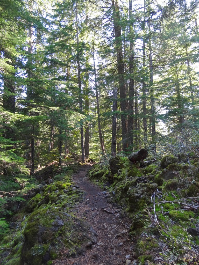
View of the McKenzie River Trail…you can see it’s not that strenuous…. unless you’re on a mountain bike.

We started our hike at the Koosah Waterfall parking area off of Hwy. 126/McKenzie Hwy. The well maintained trail winds down to a couple of different viewpoints for Koosah Falls, where you will find loads of people snapping pics, it’s easy to understand why, Koosah Falls is stunning. From there we headed up toward Sahalie Falls, less than a mile away. Both of the waterfalls were gushing, yay springtime, and the McKenzie River is so clear, it is magical.

McKenzie_river_trail_sahalie_waterfall

Sahalie Falls

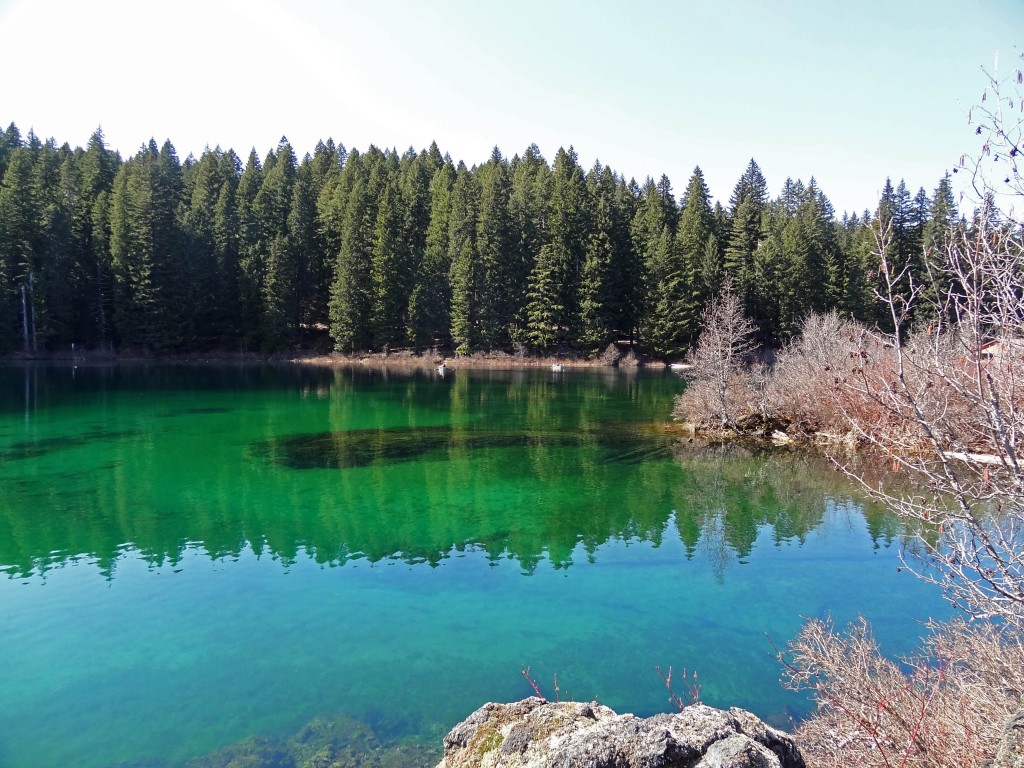
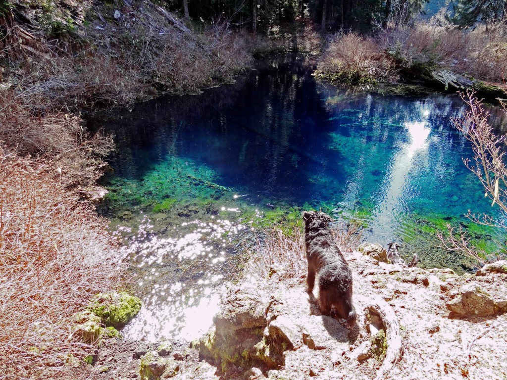
From the waterfalls the trail follows along the McKenzie river a bit further and then crosses highway 126 for Clear Lake, which is supposed to have the best diving in Oregon. There is a forest, that has been preserved by the cold waters, and you can dive through it/around it. The water in Clear Lake really was crystal clear and it looked deceptively like Caribbean water. So no misnomer here.

McKenzie_river_trail_clear_lake

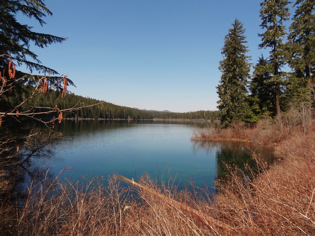
Our first glimpse of Clear Lake

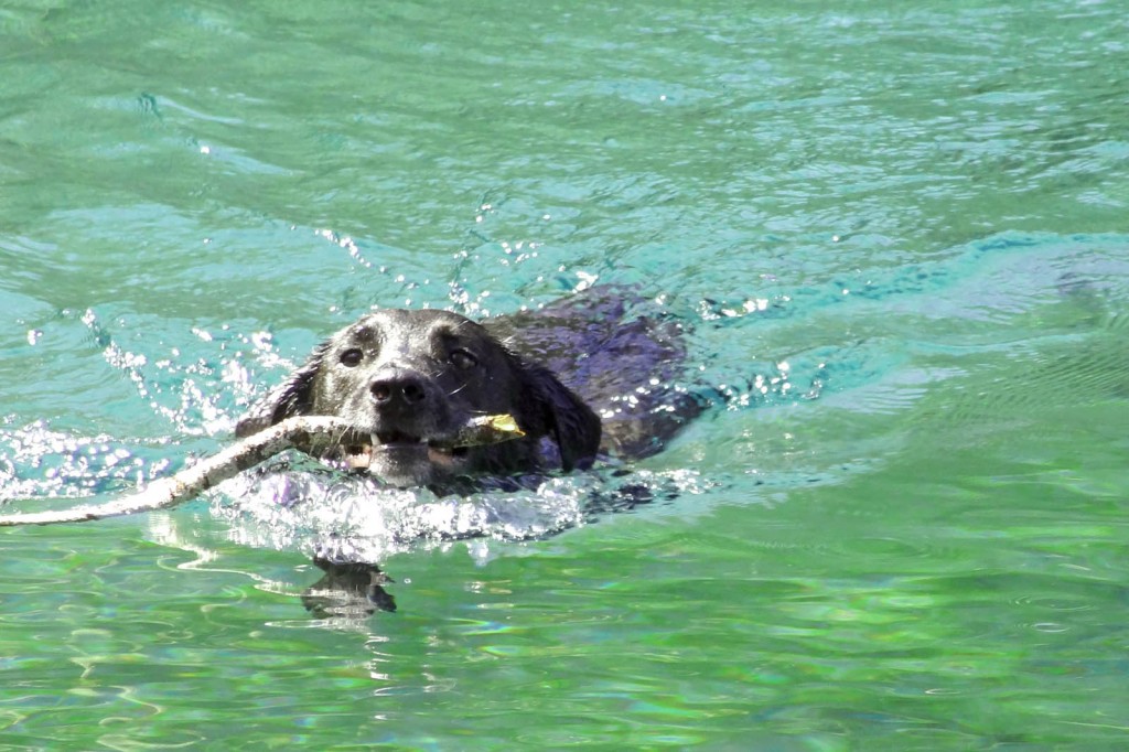
Sal and Jedi went for a dip in the chilly water and incidentally Steve and I ended up nearly  soaked after all of their frantic shaking (My prAna Halle Pants saved me). There were a handful of boats out on Clear Lake, just people out fishing, paddling around and enjoying the beautiful weather. I couldn’t help, but think how awesome it would be to take a standup paddleboard out on the lake. This summer for sure!

McKenzie_river_trail_clear_lake_sal

Typical…Sal playing catch with whatever stick he can find…no matter how cold the water is

We followed the trail around to the opposite side of Clear Lake, where we found a beautiful pool where water enters the lake through the lava rock. Amazing. I love nature. It’s so beautiful and I love how accessible it is in Oregon. We knew that we wanted to hike atleast 10 miles, but were up for more, so we just followed the trail passed the lake. It eventually crossed another road, followed the river for a bit more, and ended at the trailhead.

McKenzie_river_trail_clear_lake

A little further around the lake….you can really see how clear the water is!!!

McKenzie_river_trail_clear_lake_pool

Pool where water pours through the lava rock at Clear Lake

For our return hike we followed the path back to Clear Lake, then took the other path that lads around the opposite side, goes around a cove and through the Clear Lake Resort. We were pretty hungry, so we stopped for a snack, almonds, Gin-Gins, dried apricots, carrots, and cherry tomatoes for us and carrots and cherry tomatoes for the pups. They’re suckers for veggies. We continued on the path until it met up with the path that brought us to Clear Lake. We continued back the way we came, across the highway, until we came to a bridge that crosses over the McKenzie River. At this point we were on the Waterfall Loop portion of the Mckenzie River Trail, from here we had the opportunity to see the waterfalls (Sahalie and Koosah) from a different angle.

Bridge-mckenzie-river-waterfall-loop-trail

Crossing the bridge for the Mckenzie River Trail Waterfall Loop

The path follows along the river for a bit further. It then enters a parking area, where if you turn left and cross the bridge you can pick up the trail again just on the other side of the river. From here the rest is easy. Enjoy the views of the river for a bit more and then one last glimpse of Koosah Falls before heading up to the parking area.

Koosah-falls-mckenzie-river-trail

Koosah Falls, near the end of our hike.

Note: Portions of the trail are multi-use, which means mountain bikers will be on the trail too. This would be an epic day of mountain biking. There is a shuttle service here too, so you would just have to ride end-to-end. If you’re in the Bend area and don’t want to drive out to the trail, Cog Wild runs a shuttle a couple of days a week.
South Sister Summit

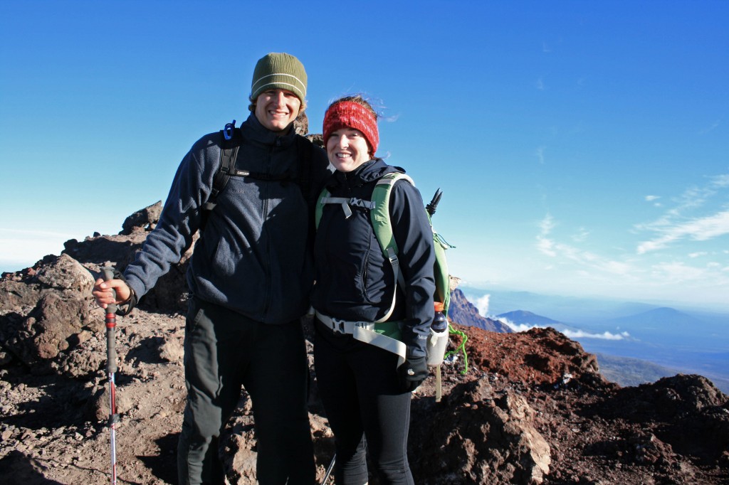
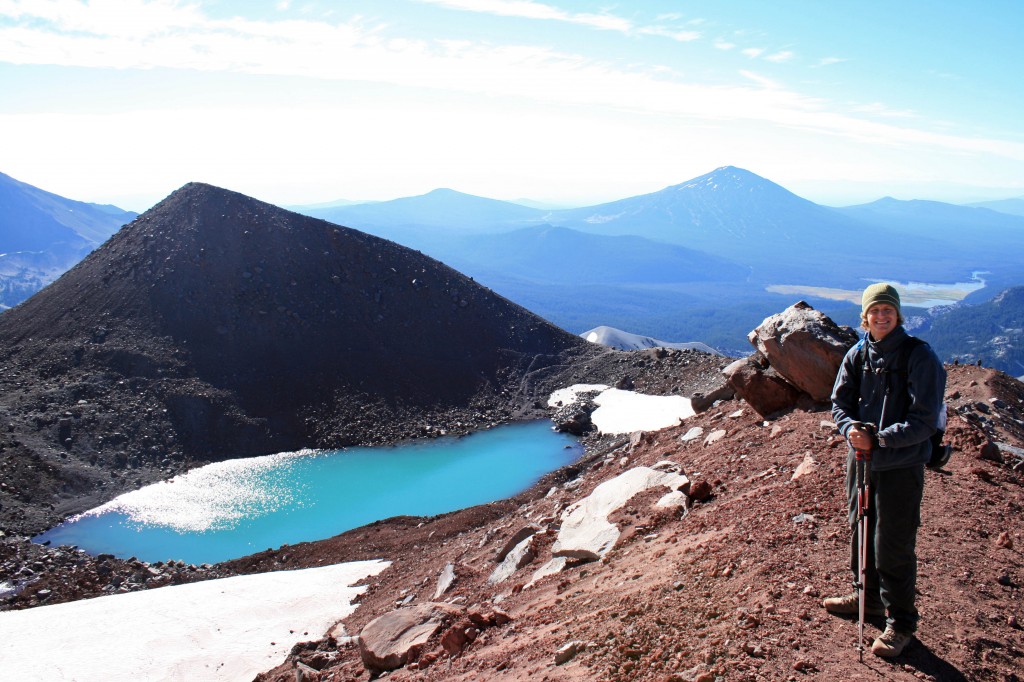
South Sister summit Autumn and Steve

We made it!!!

Alright, I’m not gonna lie, I haven’t been on a serious hike since May when Steve, Angie, and I did the Pinnacles trek at Gunung Mulu National Park in Borneo. So naturally, summiting a 10,358 foot mountain would sound like a good idea. Why, oh why, do I do this to myself…

Steve and I usually hike alot, but we just got back from our 6 month trip to Asia, so the last month has been spent looking for a new home, a new car, and a new job (for yours truly). And we moved to the other side of the Cascades…hello sunshine!!!

Quick Stats

Distance: 12.23 miles roundtrip

Time: 7-10 hours

Difficulty: Very challenging, but nontechnical (ie. you don’t need climbing gear)

Season: All year (mid-summer to mid fall for hiking; the rest of the year it’s wise to carry crampons, snowshoes, ice axe, etc.)

Permit: Northwest Forest Pass required; Wilderness permit required, fill out your party’s details at the trailhead

Dog Friendly: Hell NO!!!! The volcanic rock would eat their little paws up; the trail to Moraine Lake would be fine though.

Pros: Views of the Cascades, summiting the third tallest mountain in Oregon, bragging rights, you could camp at Moraine Lake

Cons: SCREE, it’s exhausting, trail can be crowded

South Sister Sunrise1

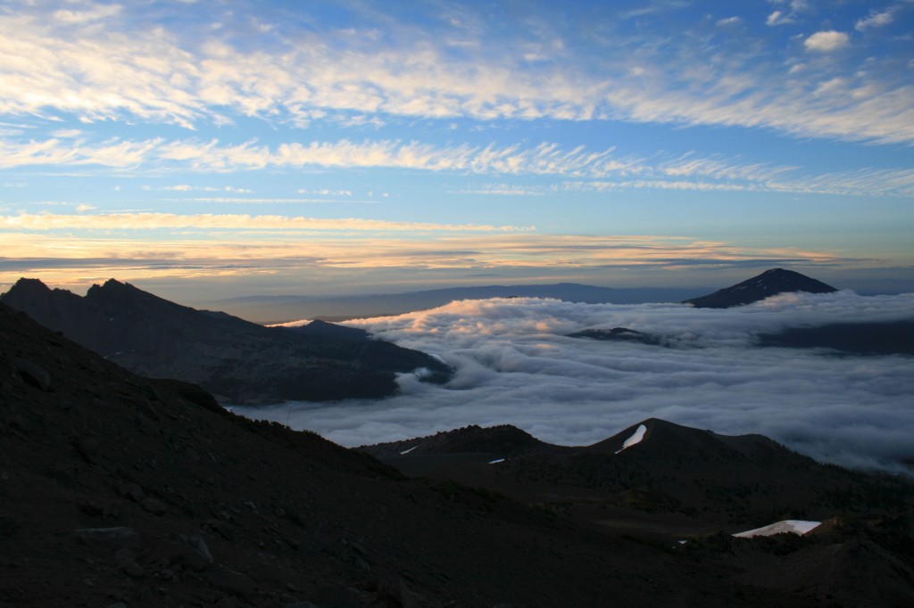
Just above the clouds.

We were hoping to make the summit for sunrise, but quickly realized that there was no way we were going to be up there in time. We arrived at the trailhead around 3/3:30 am on Labor Day weekend….silly kids. Luckily, most people don’t want to hike in the dark, so we hit the trail and only saw two other groups ahead of us…..on the way down it was a different story; we probably saw close to 100 people on their way up. I’m so happy we started early.

South Sister Sunrise

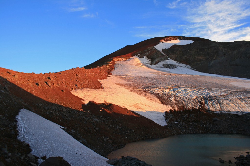
Morning light on the glacier.

The hike itself is just over 12 miles roundtrip from the Devil’s Lake Trailhead and gains approximately 4,900 feet in about 6 miles. It’s a doozy. The hike from the Devil’s Lake trailhead up to Moraine Lake (about 1.5 miles up the hill) is easy enough and the trail is well packed, which you will definitely appreciate after hiking to the summit and back. If the trail up to Moraine Lake is tough for you, you might just want to call it a day and enjoy the lake. It looked beautiful from up above and it would be way more relaxing than a summit attempt.

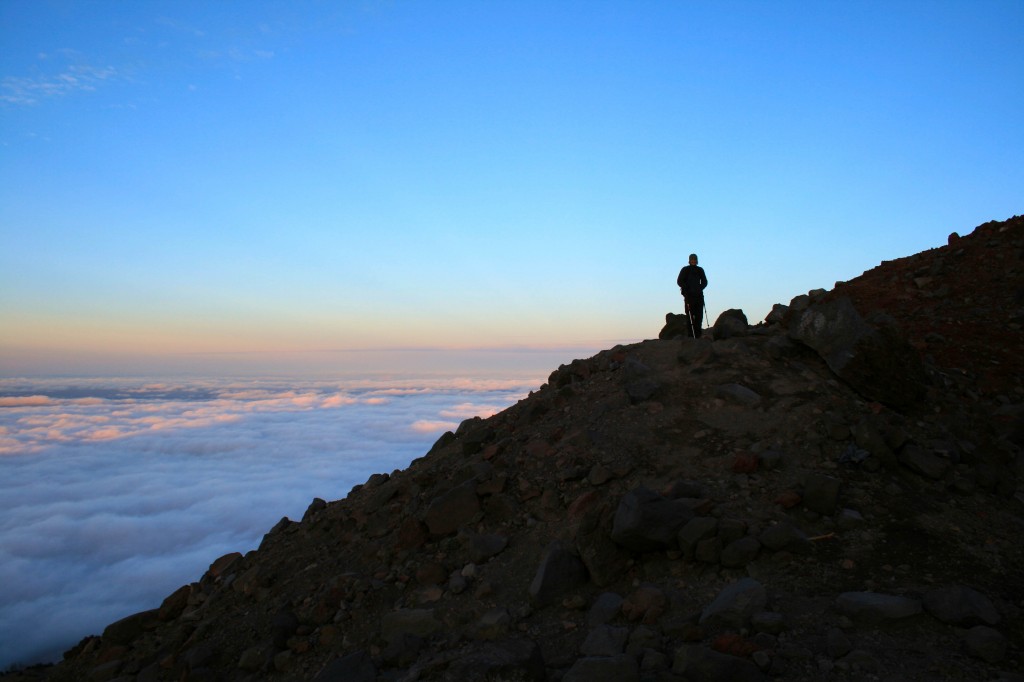
South Sister Sunrise above the clouds

Steve waiting for me to catch up.

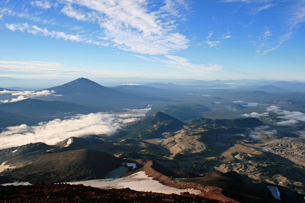
South Sister lakes

You can see a few of the lakes in this pic and the ridge we hiked up.

I love scree!!! Oh wait, no I don’t. I hate it. It freaks me out! And the summit trail is mostly scree…loads and loads of loose volcanic rock. I definitely had to suck it up and resist the urge to turn around. My fear of falling was overpowering…I’m not truly afraid of heights; I’m afraid of tumbling down a hill. Anyway, I eventually made it to the top, probably 20 minutes after Angie and Steve. They patiently waited for me while there fingers, hands, limbs, and faces froze. The view was beautiful from the top, but it was bitterly cold and even operating the camera was a challenge.

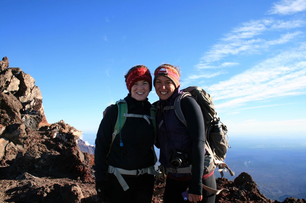
South Sister Summit Autumn and Angie

Angie and I took a quick pic before hustling down the mountain to get warm.

Anyway I’m happy to check the South Sister off of the list, but I’m not exactly jumping at the chance to do it again. Will I do it again? Probably, but I need to forget about all of that scree before I even consider it…lol. Maybe they could build some stairs and a put little hot chocolate shop on the summit? Just kidding….it was beautiful, it just so happens that it was really challenging too.

South Sister Steve

Beautiful lake on the way down from the summit…maybe Tear Drop Lake?

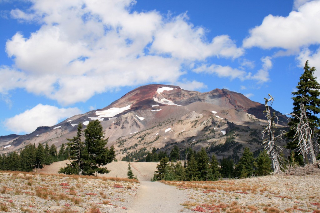
South Sister

Check!!!


Notes: Pack your layers. I wore a tank, a Smartwool Midweight top, a vest, a lightweight jacket, leggings, thin gloves and a fleece headband. Honestly, I wish I had brought my Patagonia Down Sweater too. I was fine in boots with no gaiters, but I went fairly slowly. My trekking poles also came in handy, but like I said I was going slow. I saw some people running down in tennis shoes. Pack your sunscreen and sunglasses too. You will definitely need them as there isn’t much shade on the trail until below Moraine Lake.

Resources

Everytrail.com provides a play by play trail guide