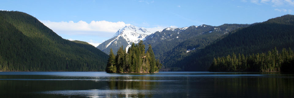
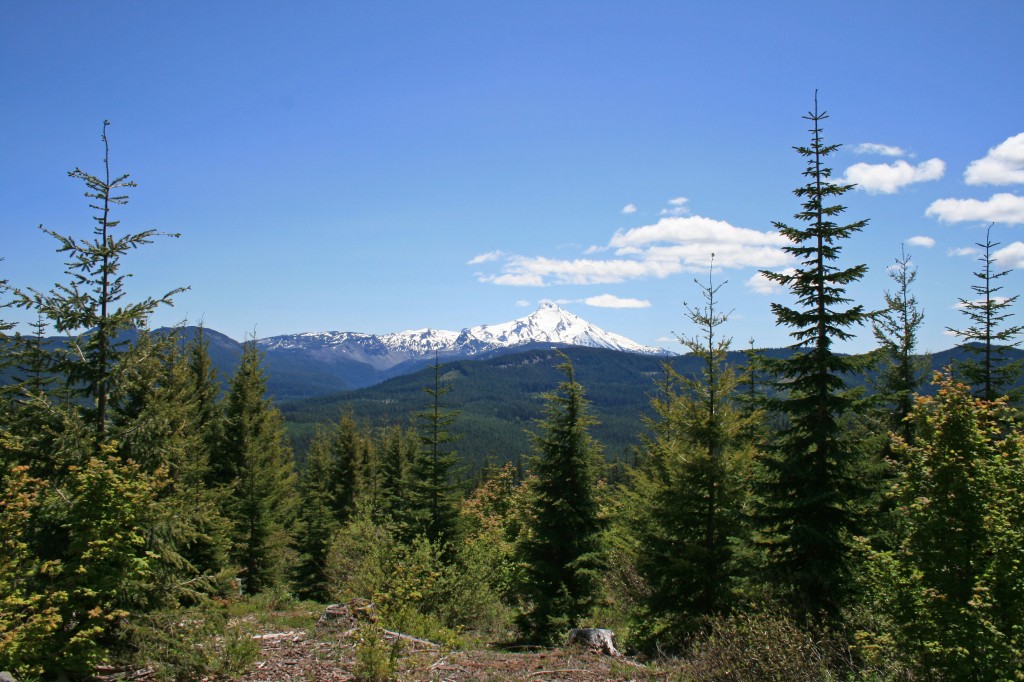
So this past weekend Steve, the pups and I went on our first backpacking trip of the season. We usually get started with our backpacking season earlier in the year, but this spring we went on a trip to Nicaragua and then we had the moms in town. Needless to say we were pretty pumped to be taking the weekend off to head up to the Bull of the Woods Wilderness. I think this is only the second hike I have ever done in Bull of the Woods, so it was nice to explore it a bit more. We took the Dickey Creek trail all the way up to Big Slide Lake where we camped for the night.
Quick Stats
Distance: 12 miles
Time: 4 hours each way
Difficulty: difficult, pretty steep in parts with loose rock, many logs to climb over, and a fun creek crossing
Permit: Yes, NW Wilderness Pass, get it ahead of time because there isn’t a pay station at the trailhead
Dog friendly: Yes, plenty of shade and creeks for cooling off in…and of course there is the lake too
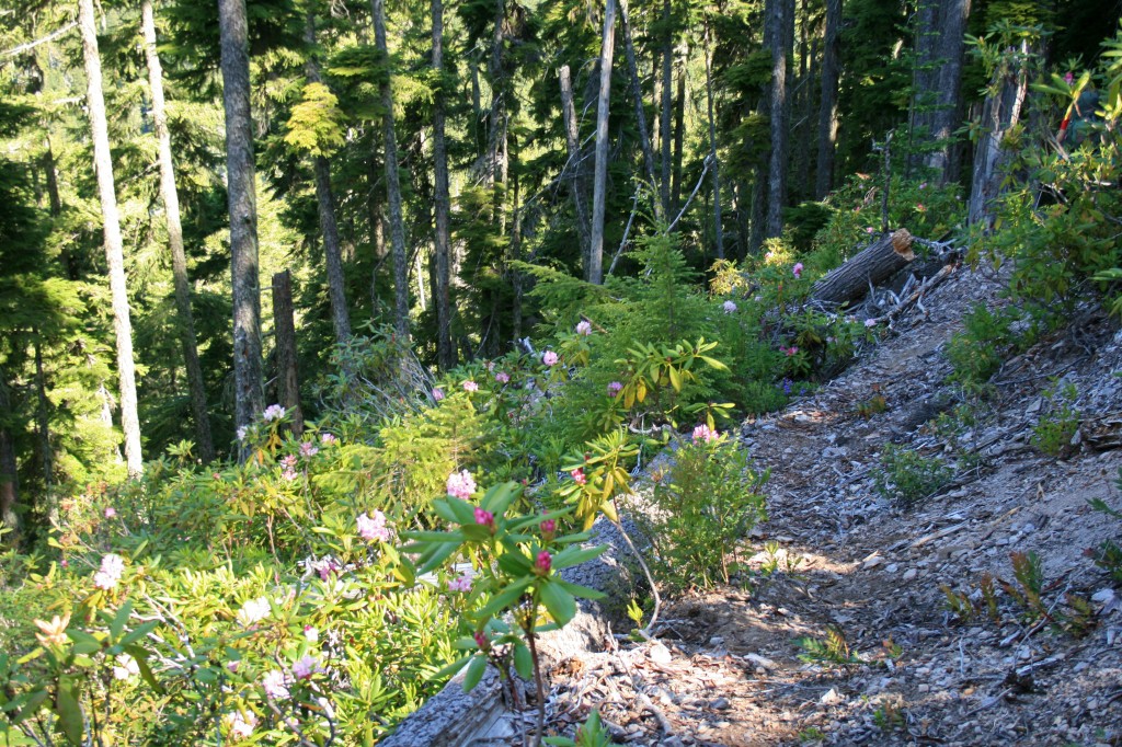
Pros: Beautiful mossy forest, pretty lake and creek, trail wasn’t busy, wildflowers and rhododendrons,
Cons: steep and loose trail in spots, all uphill on day one and all downhill on day two, crowded weekend camping at the lake, people didn’t bury their poo
It took us about three hours to drive to the Dickey Creek Trailhead from Bend. Our google directions had us take about an hours worth of gravel roads, which we didn’t really need to do, but it added to the sense of adventure, so why not? It took us the same amount of time to get home when we took mostly paved roads.
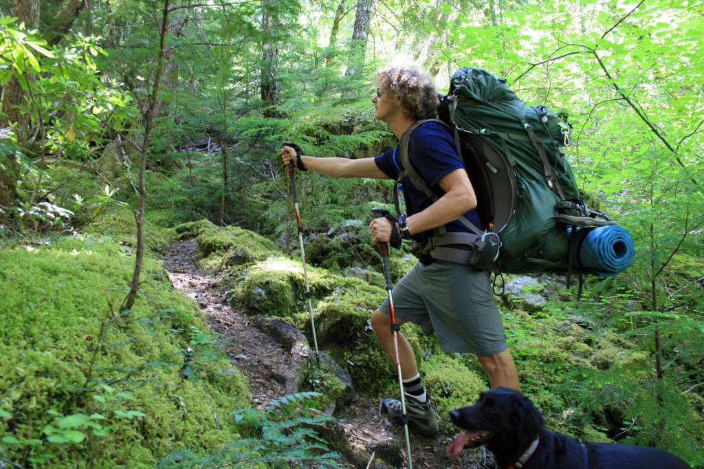
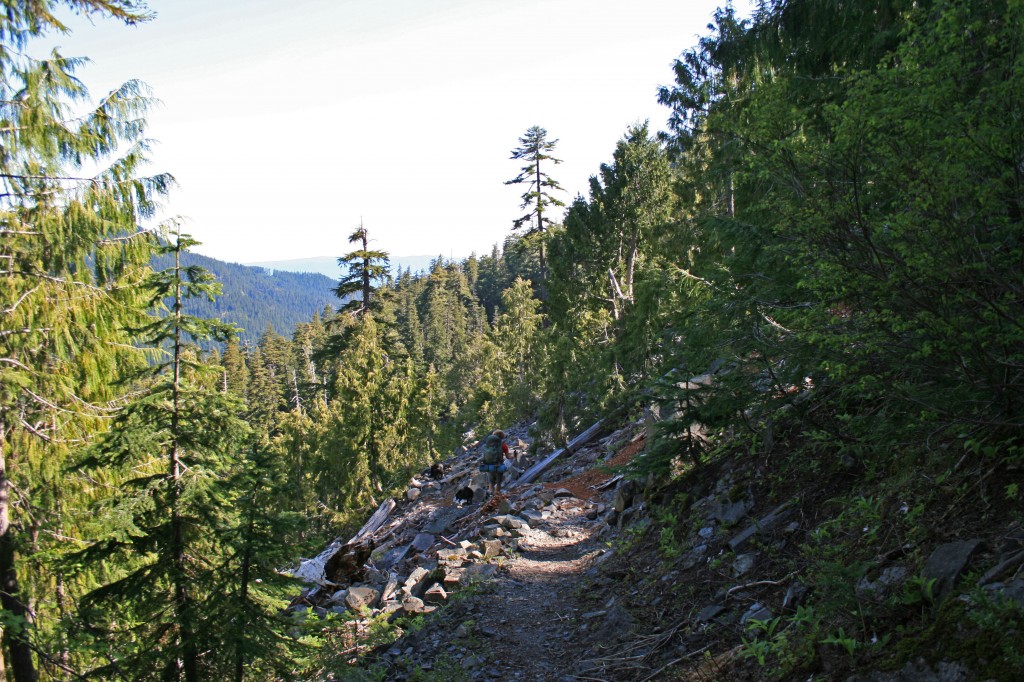
The Dickey Creek trail begins harmlessly enough as it follows an old forest road, but don’t be fooled. You will have multiple opportunities to fall on your ass as the trail steeply descends into the valley. Have fun with it! I didn’t! It took me 20 minutes to get down the first steep section because I was being stubborn and didn’t want to get out my trekking poles…. I ended up borrowing Steve’s for this section. Advice: Pack your poles and use them. Other people camping at the lake commented multiple times that they wish they had brought theirs.
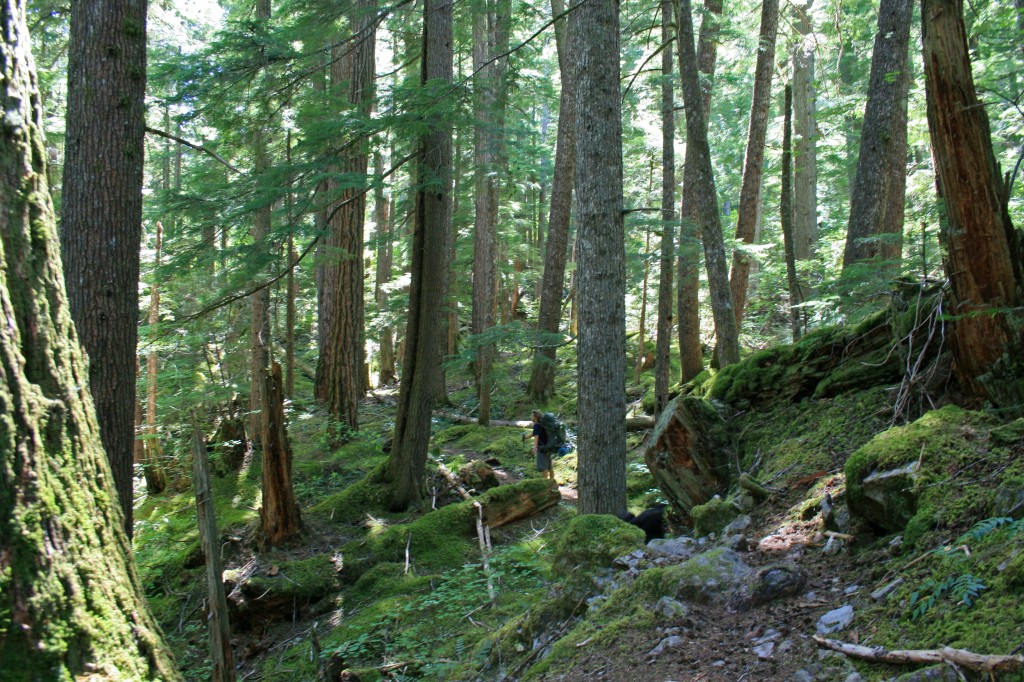
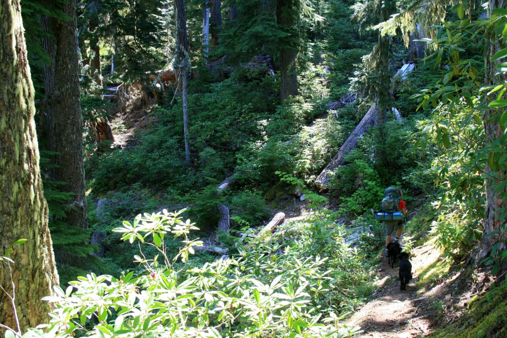
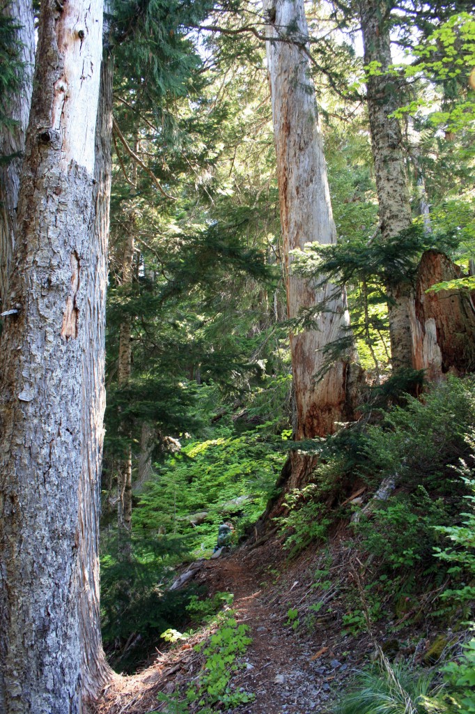
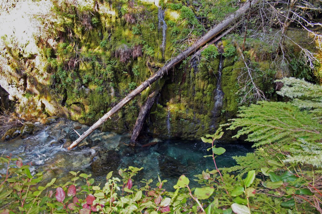
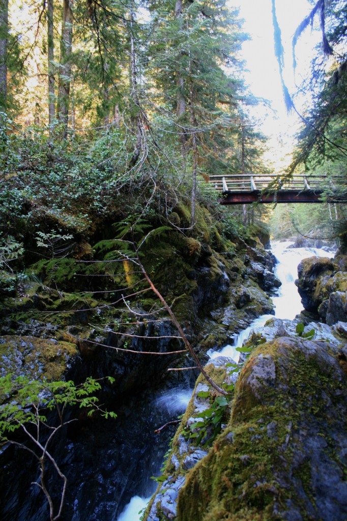
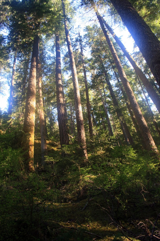
Thankfully, after the trail makes its initial descent into the valley via slippery slopes and some massive steps it becomes a beautiful hike through moss covered forest as it gently meanders by massive trees and over a few logs.
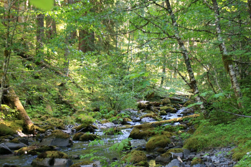
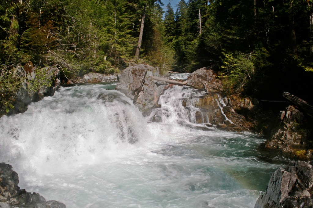
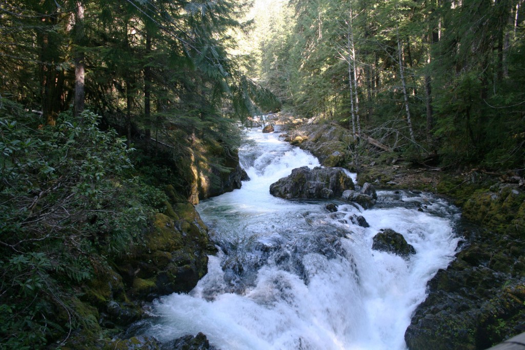
Dickey Creek is absolutely gorgeous at the creek crossing. Make sure to cross on the logs, it’s way easier than crossing on the mostly slippery rocks. I tried both… because I’m a glutton for punishment. I had my Tevas with me so I kicked off my boots and slipped into my Tevas for the first creek crossing and just walked straight across. I thought the water felt amazing, Steve thought it was frigid.
After the creek crossing the trail climbs up and up and up with no relief. I happen to enjoy uphill way more than the downhill slip and slide, but when you go up you must go down too. Eventually the trail splits (at a Y); veer right at the Y and head downhill to the lake and another easy creek crossing.
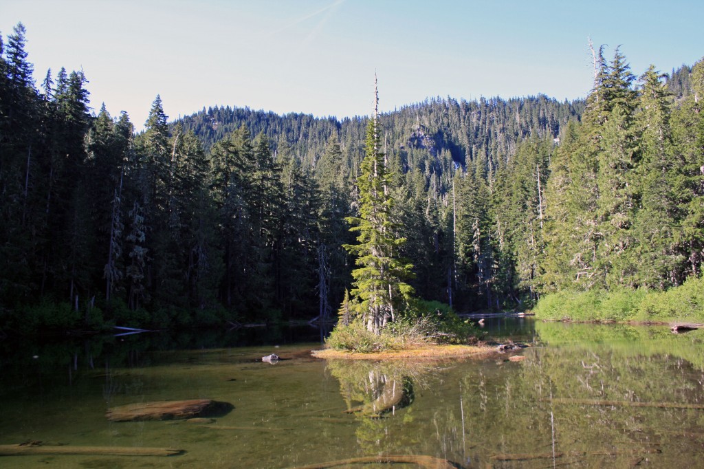
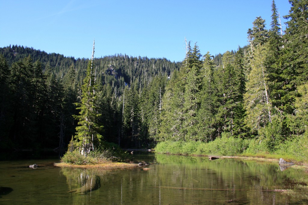
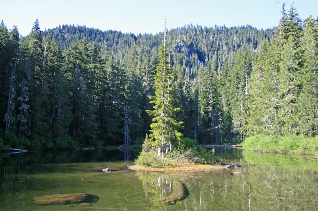
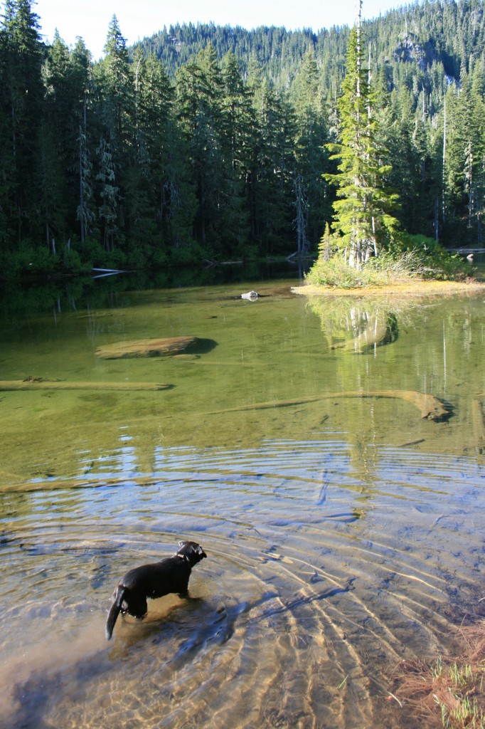
The lake is beautiful. It’s supposedly a great place for fishing, although we didn’t see any trout. We did see a ton of Salamanders swimming around though.
I bet the water in the lake gets pretty warm during the summer. It looked pretty shallow all around….next time I’m packing a pool floaty.
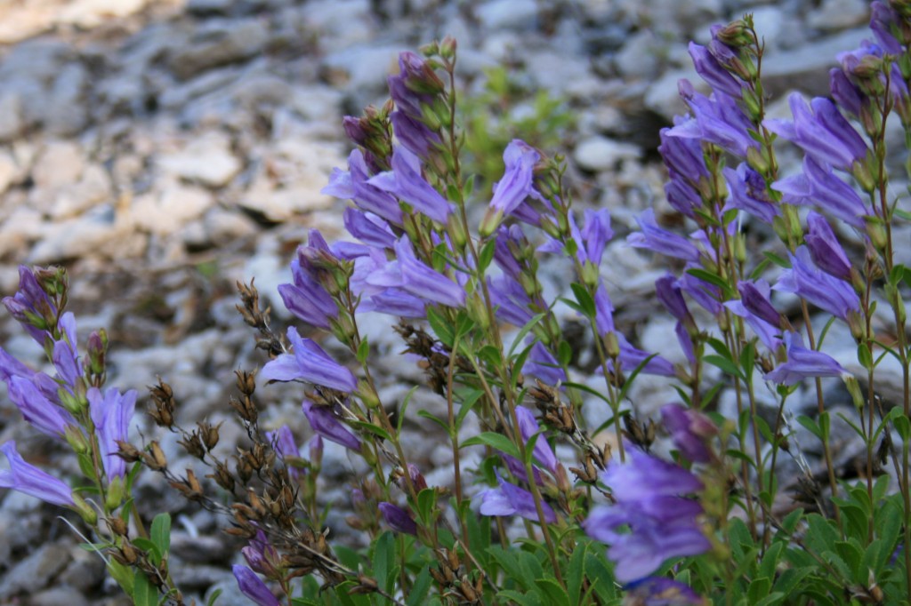
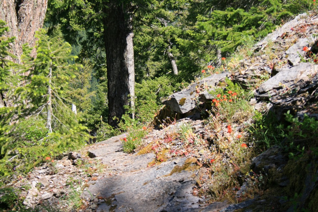
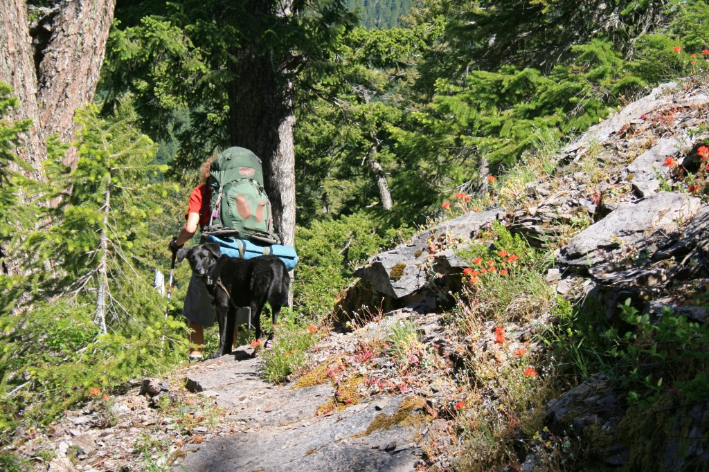
And the wildflowers. I love all the wildflowers this time of year. I’m not a flower buff and I don’t know the official names, but I do appreciate the beautiful color.
So that’s Sal in picture above. He is our SUPER hyper-active pup, who’s not actually a pup anymore. He’s always game to play, whether it’s frisbee, ball, fetch, hunt for salamanders, jumping, climbing, acrobats, or rolling in nasty things. He has more energy than any other dog I’ve ever met.
Like I said in the Cons for this trail, most of the sites were already taken when we arrived at the lake. The only two sites that were still available were wedged between a group with two “dog aggressive” dogs and a group with a little girl, aged about 7, the type that Sal likes to eat for dinner. SO needless to say our sites were perfect (note sarcasm)!!!!
The first site was slightly more private, but as we were unpacking our backpacks Wonder Dog (Sal) found a lovely pile of unburied human feces and anointed himself with human shit; all over his face, neck, back, collar and harness. So we packed up and moved over to the tiniest site I’ve ever camped in…. but atleast it was further away from Sal’s poo fest. People please bury your feces…and don’t poo 15 feet outside of camp. I mean really???? I do not like having to bury other people’s poo and I’m pretty sure Steve didn’t enjoy washing someone else’s shit off of Sal.
After cleaning up and setting up our micro-site we rewarded ourselves with some cabernet, thank god we packed it…. and it was well deserved. Neither of us lost our tempers… and we had a good laugh after the fact. I really wanted to call this hike Fecal Matters, but Steve vetoed it.
After Sal went for his morning swim we hit the trail. The morning air was nice and crisp and it was the perfect hiking temperature. Parts of the trail reminded me of the hike up to Snow Lake on the way into the Enchantments, but obviously on a much smaller scale.
Sal loves to hike right on our heels, while Jedi is off in Jedi land with rainbows, glitter, and unicorns…. that’s why you don’t see any pics of him here.
The trail in the woods was really lovely, super soft for walking, not too many roots/rocks, BUT you do have to climb over probably 20 down trees along the trail…it’s a fantastic core workout!!!
We will definitely head back to the Bull of the Woods Wilderness. It was really pretty and felt incredibly remote. I kept hoping to see a bear or other wildlife, but no luck.
Resources
