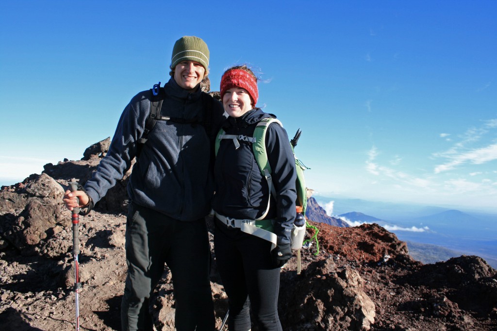
T-minus 5 Days Until We’re in Nicaragua!

  It’s that time of year again where we say goodbye to Central Oregon winter and hello to Nicaraguan sunshine. This go around we will be adventuring up around Matagalpa and Esteli before heading down to San Juan del Sur. I promise to take LOTS of pictures… Steve just got me a new camera for Valentine’s Day, so I’m super excited to take it out and play with it. This trip is another half play/ half work trip. We will be checking out Finca Esperanza Verde for a possible future yoga retreat then heading down the coast to check out Aqua Wellness just north of San Juan del Sur. This year I will be hosting my second yoga retreat in Nicaragua at Costa Dulce, which I’m super excited about. I love how it feels like you’re at the edge of the world, just you, a handful of other yogis, and the ocean. It pretty much rocks. I hope to post … Continue reading

Nicaragua Yoga and Surf Retreat

I finally get to combine my favorite activities: yoga, water, travel, hiking and food!!! Steve and I will be hosting an All-Inclusive Yoga and Surf Retreat in San Juan del Sur, Nicaragua February 28- March 7, 2015. We’d like to … Continue reading

Lobster Mushroom Bisque

  OMG…. Heaven in a bowl!!! I seriously couldn’t get enough of this stuff. When are we going mushroom hunting again??? Unfortunately lobster mushroom season is slowly coming to an end in the Pacific Northwest. This was my first season … Continue reading

Big Slide Lake

So this past weekend Steve, the pups and I went on our first backpacking trip of the season. We usually get started with our backpacking season earlier in the year, but this spring we went on a trip to Nicaragua … Continue reading

Monkey-ing Around At Sepilok

Steve and I spent a night in Sepilok on our way to the Kinabatangan River. And I’m so happy we did. We stayed at Sepilok B&B which was adorable AND it had AC!!! Not a whole lot of food options … Continue reading

The Anti-Green Juice

  Us yogis and foodies are always blabbing about the benefits of green juice and green smoothies, but what about purple juice, orange juice, or pink juice? I made a pretty rockin’ orange juice today….with no actual oranges in it. … Continue reading

Central America Packing List

On of our favorite places to travel to is Central America and fortunately we get to spend time there every couple of years. It is, after all, where Steve and I met. Sometimes our trips are short ten day trips … Continue reading

Tumalo Falls to Happy Valley

Quick Stats

Distance: 8 miles roundtrip (can also make a loop out of it if you want)

Time: 3 1/2-4 hours

Difficulty: Easy to moderate

Season: June to October

Permit: Northwest Forest Pass

Dog Friendly: Yes. Off-leash fun for most of the trail, but there are steep drop offs in places and the trail is used by mountain bikers….

Pros: Beautiful waterfalls, gentle trail, close to Bend, views of neighboring mountains and a pretty meadow.

Cons: Multi-use trail, parking lot can be full even on a weekday.

I’ve been eye-balling this area for a couple of years now, so I was pretty stoked to finally check it out. We hiked from the parking area up to Happy Valley, which is just under 4 miles one way. The trail winds through the forest at times, but mostly follows along the creek, allowing stupendous views of waterfalls and occasional access for a doggy dip.

Happy Valley trail waterfall

Waterfall peeking through the trees along the trail to Happy Valley.

Happy Valley waterfall2

One of the many waterfalls along the trail.

The trail is easy going, a nice gradual grade with some flat spots too… ie. much easier than most of the hikes we do. We had a non-hiker friend with us and she loved the hike and didn’t complain…maybe we can convert her?

It was a perfect cool fall day….rain was predicted for mid afternoon, so we turned around at Happy Valley after having a creek-side picnic.

Happy Valley Sal

Sal taking a break in the creek bed in Happy Valley.

Honestly this was an incredibly easy hike with beautiful scenery. It’s perfect for days when maybe you aren’t at 100% energy, you just want a quick jaunt out of town or you’re introducing a friend or child to the outdoors. And the trail is incredibly straight forward, no junctions, no “off trail” navigation…just beautiful trees and waterfalls.

Tumalo Falls

Bonus!!! You don’t even have to hike to see stunning Tumalo Falls…the viewpoint is practically in the parking lot.

And to keep our non-hiking friend happy, and to keep us happy too, we wrapped up our afternoon at 10 Barrel for a victory beer before heading home.


Sisters Mirror Lake

Sisters Mirror Lake family pic

The family at a little lake adjacent to Sisters Mirror Lake

Quick Stats

Distance: approx. 9 miles (more if you have time to explore)

Time: 4 1/2 hours

Difficulty: Easy to moderate with less than 1000 feet of elevation gain

Dog Friendly: Yes, it’s an off leash trail between Sept. 16 and July 14. You may run into pack animals and hunters, so know how your dog behaves around them.

Season: June to October

Permits: Northwest Forest Pass

Pros: you’re outside, close to Bend, tons of little lakes to explore and pretty meadows

Cons: No mountain views unless you head up Koosah Mountain (we only hiked up to an area where there was significant blow down, snapped a couple of pics and turned around)

This hike is so close to Bend it’s amazing that more people don’t use this trail. The trailhead was super easy to find; approximately 30 miles west of Bend on Cascade lakes Highway. There is a small parking area signed Mirror Lake Trailhead not too far passed Devils Lake (the trailhead for South Sister).

After a mile or two you come across a little pond with a large rock outcropping behind it, this is the last place for water until Sisters Mirror Lake.

sisters mirror lake pond

The last pond until you reach Sisters Mirror Lake.

Each of the lakes in the area make a perfect place for a picnic and soaking up some sun.

sisters mirror lake adjacent

Our lunch spot…all to ourselves

Sisters Mirror Lake skimps on the mountain vistas, but the large meadow, and pretty little surrounding lakes with their perfectly still surfaces totally make up for it. To find the lake you just follow the signs all the way there. There is atleast one place to camp on the far side of the lake and an even cuter place to camp at the neighboring unnamed lake (if you’re headed up Koosah).

Sisters mirror lake

Sisters Mirror Lake and a perfect fall day

I think it’s also possible to head over to Nash Lake and make a loop or balloon shaped hike… (check out a map first!!!)

You’ll reach the lake after about 4- 4 1/2 miles of hiking. And if you’re feeling good you could head down the PCT and up Koosah Mountain to get a little more burn in those quads.

South Sister from Koosah

South Sister from Koosah Mountain

To get back to your car just return the way you came….or if you end up doing the loop over to Nash Lake let me know how it goes.


Pic of the Week

Laos slow boat

Boats waiting for passengers on the river from Thailand to Luang Prabang.

The beginning of a two day river trip from the Thai-Laos border to Luang Prabang. The disorganization at Immigration should have been a sign…LPDR = Laos Please Don’t Rush

We were really able to enjoy our trip down the Mekong River….it’s kinda like forced relaxation! :)

South Sister Summit

South Sister summit Autumn and Steve

We made it!!!

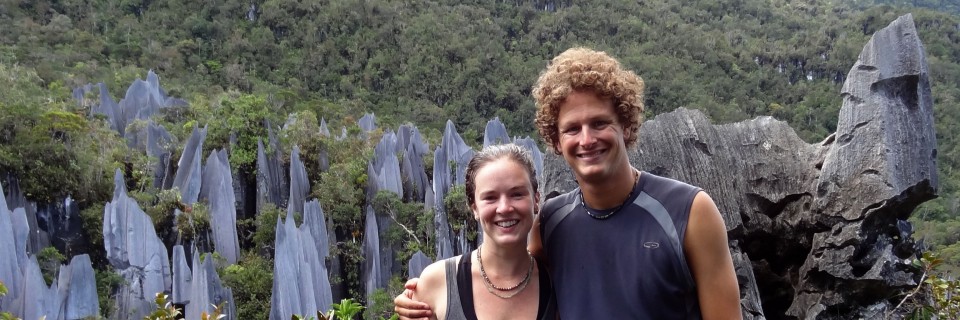
Alright, I’m not gonna lie, I haven’t been on a serious hike since May when Steve, Angie, and I did the Pinnacles trek at Gunung Mulu National Park in Borneo. So naturally, summiting a 10,358 foot mountain would sound like a good idea. Why, oh why, do I do this to myself…

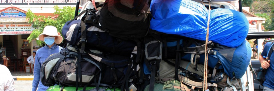
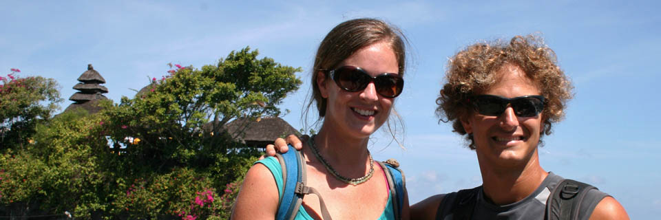
Steve and I usually hike alot, but we just got back from our 6 month trip to Asia, so the last month has been spent looking for a new home, a new car, and a new job (for yours truly). And we moved to the other side of the Cascades…hello sunshine!!!

Quick Stats

Distance: 12.23 miles roundtrip

Time: 7-10 hours

Difficulty: Very challenging, but nontechnical (ie. you don’t need climbing gear)

Season: All year (mid-summer to mid fall for hiking; the rest of the year it’s wise to carry crampons, snowshoes, ice axe, etc.)

Permit: Northwest Forest Pass required; Wilderness permit required, fill out your party’s details at the trailhead

Dog Friendly: Hell NO!!!! The volcanic rock would eat their little paws up; the trail to Moraine Lake would be fine though.

Pros: Views of the Cascades, summiting the third tallest mountain in Oregon, bragging rights, you could camp at Moraine Lake

Cons: SCREE, it’s exhausting, trail can be crowded

South Sister Sunrise1

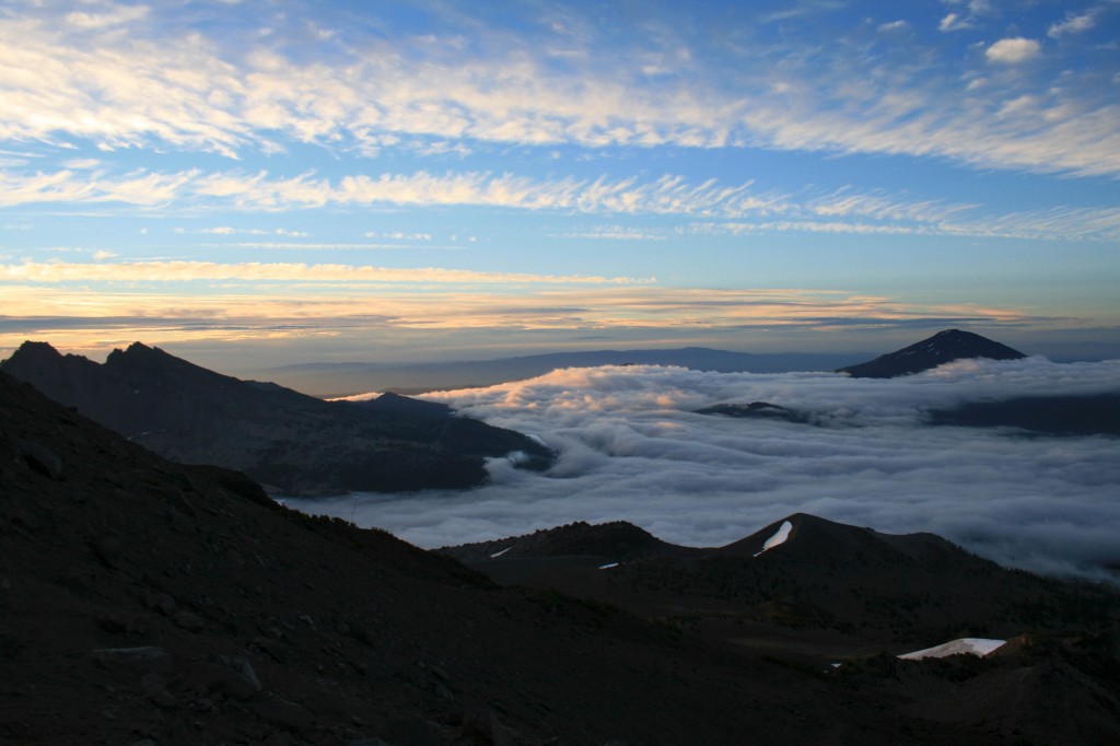
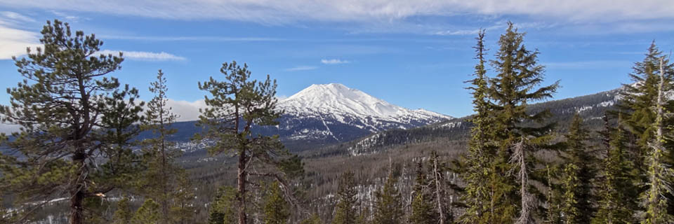
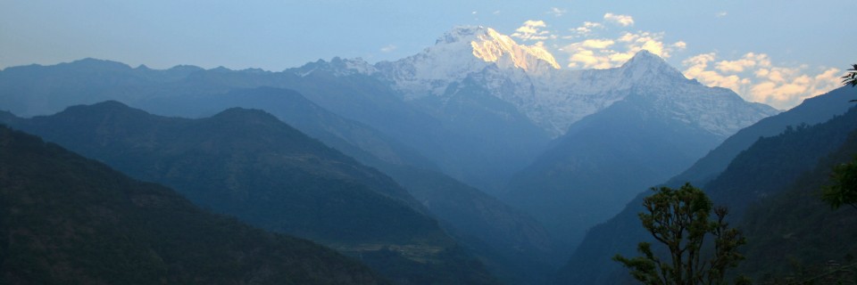
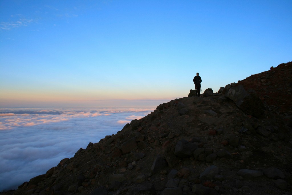
Just above the clouds.

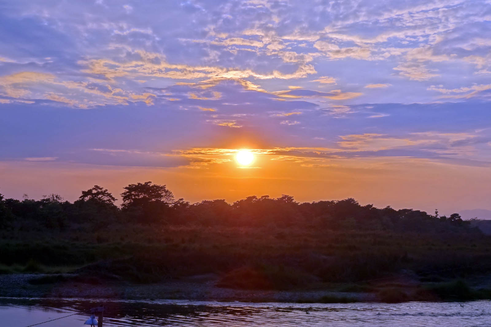
We were hoping to make the summit for sunrise, but quickly realized that there was no way we were going to be up there in time. We arrived at the trailhead around 3/3:30 am on Labor Day weekend….silly kids. Luckily, most people don’t want to hike in the dark, so we hit the trail and only saw two other groups ahead of us…..on the way down it was a different story; we probably saw close to 100 people on their way up. I’m so happy we started early.

South Sister Sunrise

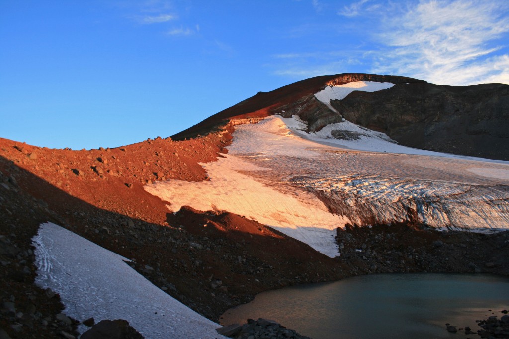
Morning light on the glacier.

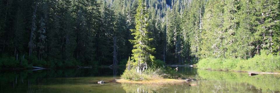
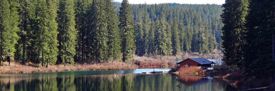
The hike itself is just over 12 miles roundtrip from the Devil’s Lake Trailhead and gains approximately 4,900 feet in about 6 miles. It’s a doozy. The hike from the Devil’s Lake trailhead up to Moraine Lake (about 1.5 miles up the hill) is easy enough and the trail is well packed, which you will definitely appreciate after hiking to the summit and back. If the trail up to Moraine Lake is tough for you, you might just want to call it a day and enjoy the lake. It looked beautiful from up above and it would be way more relaxing than a summit attempt.

South Sister Sunrise above the clouds

Steve waiting for me to catch up.

South Sister lakes

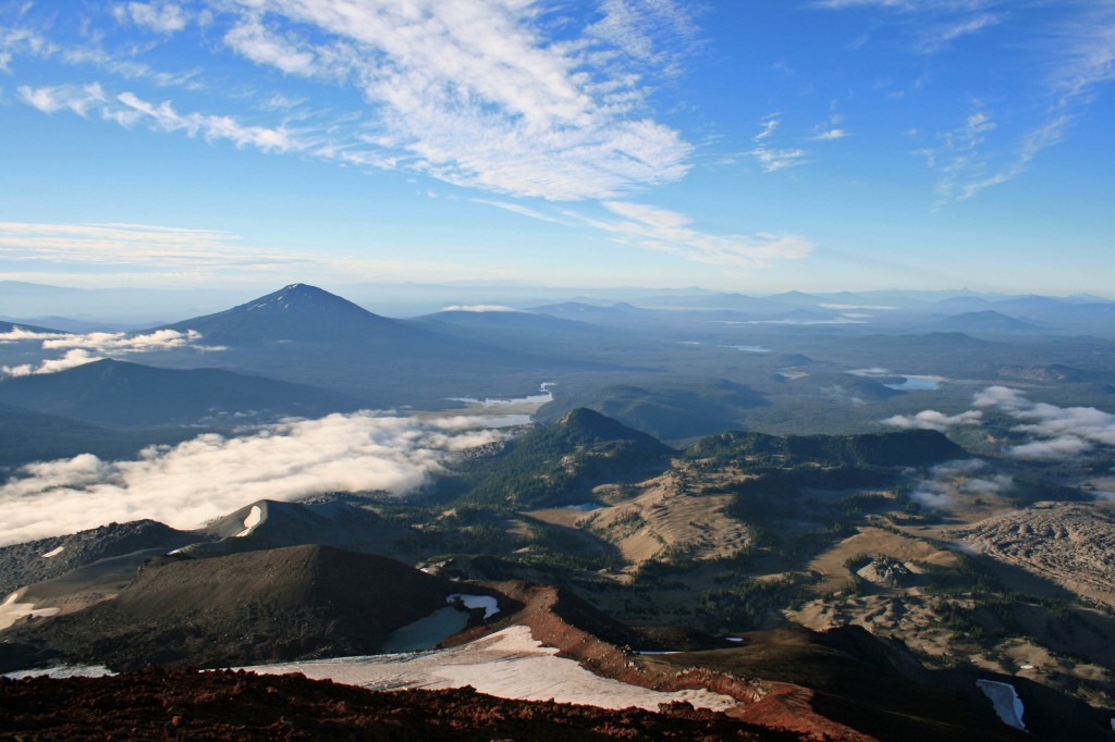
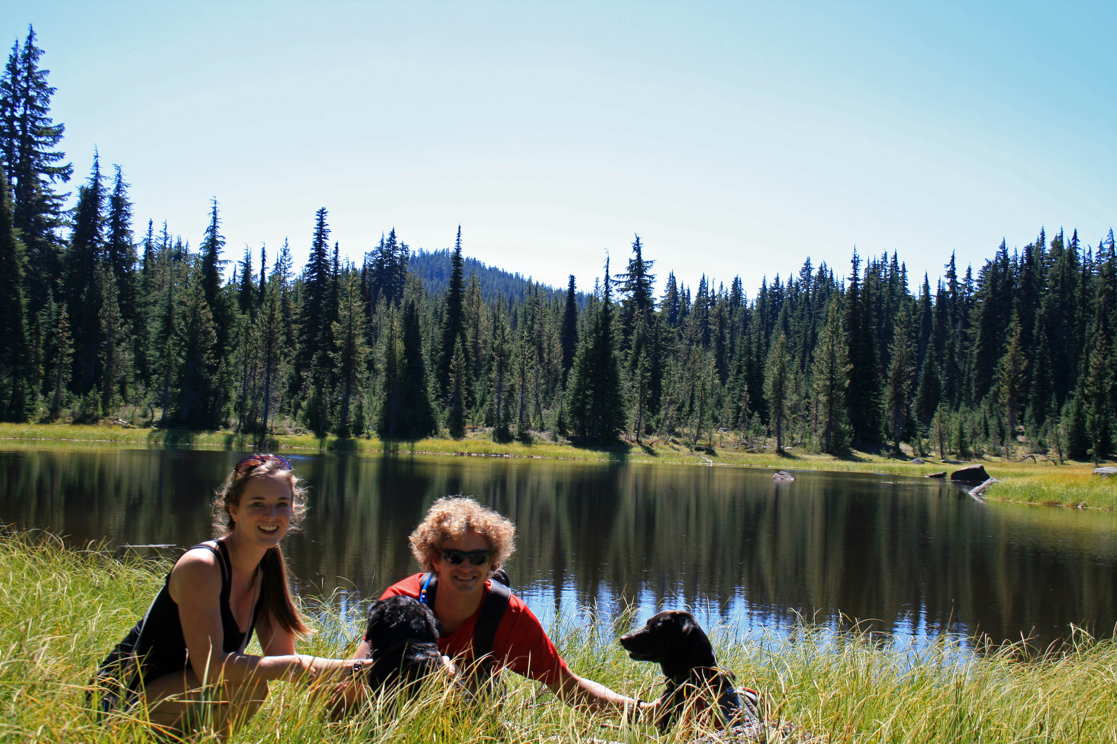
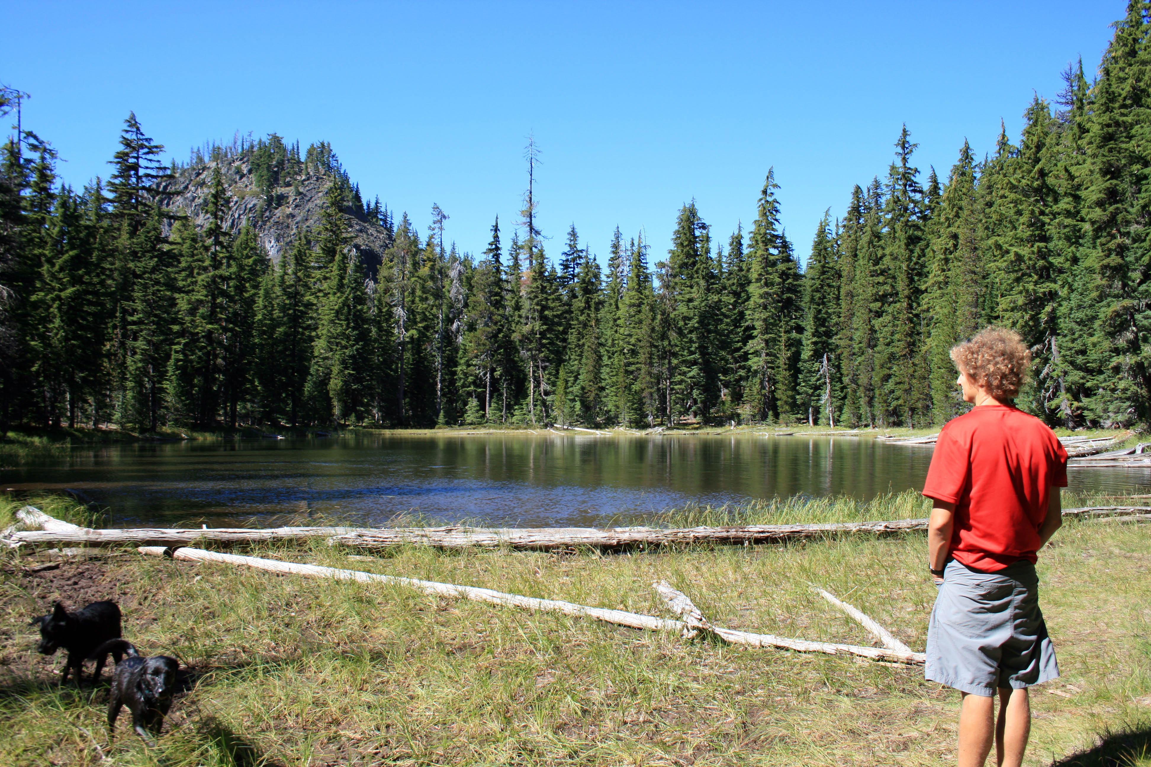
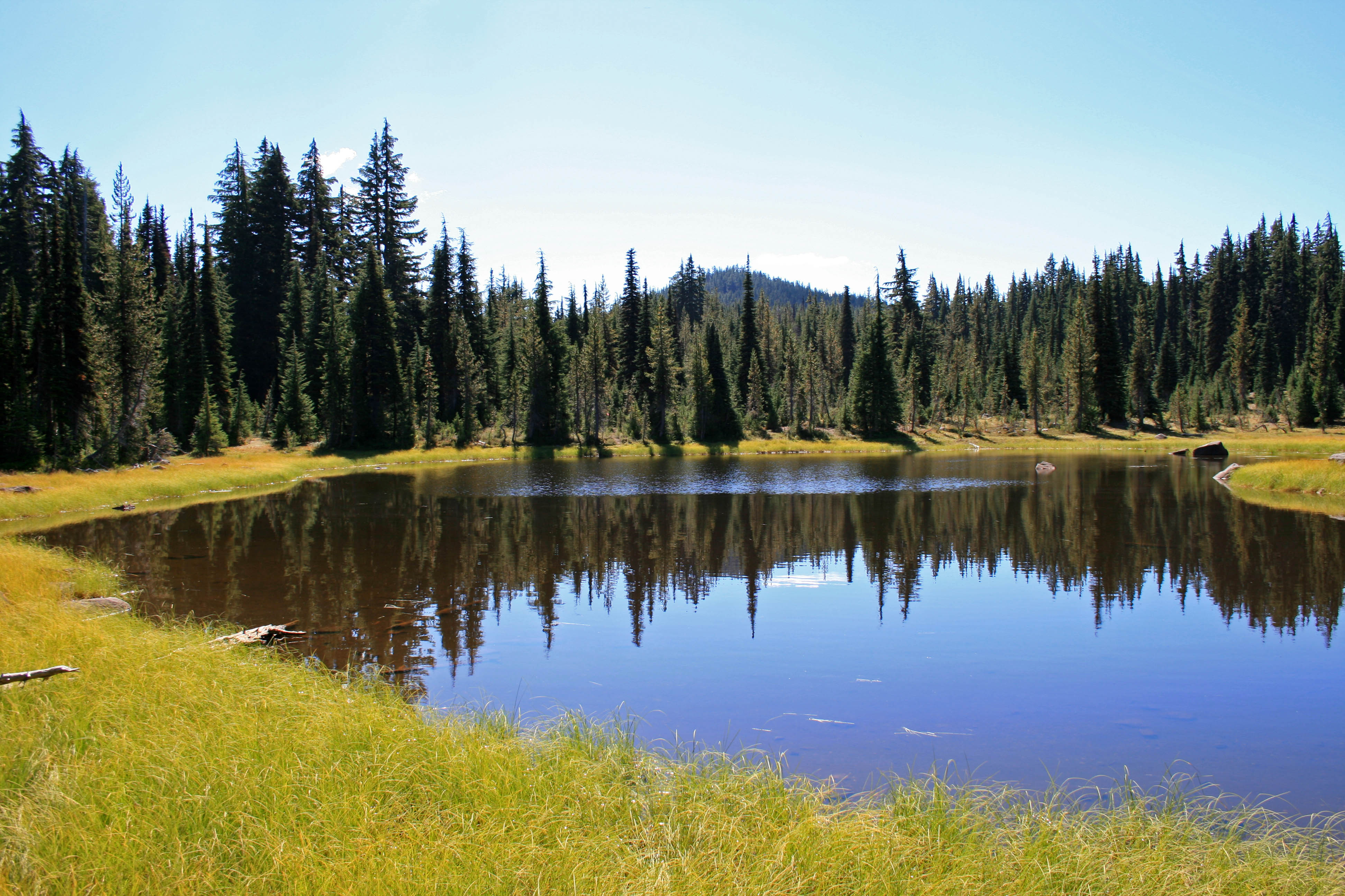
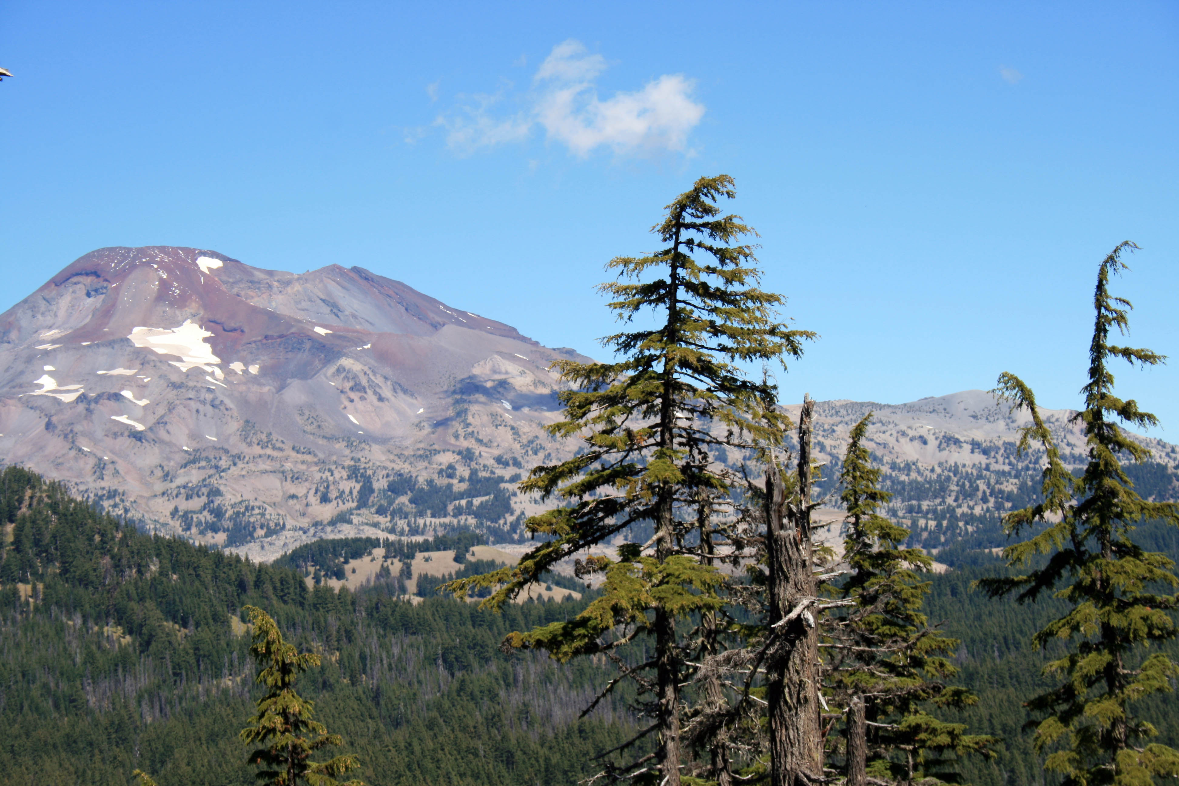
You can see a few of the lakes in this pic and the ridge we hiked up.

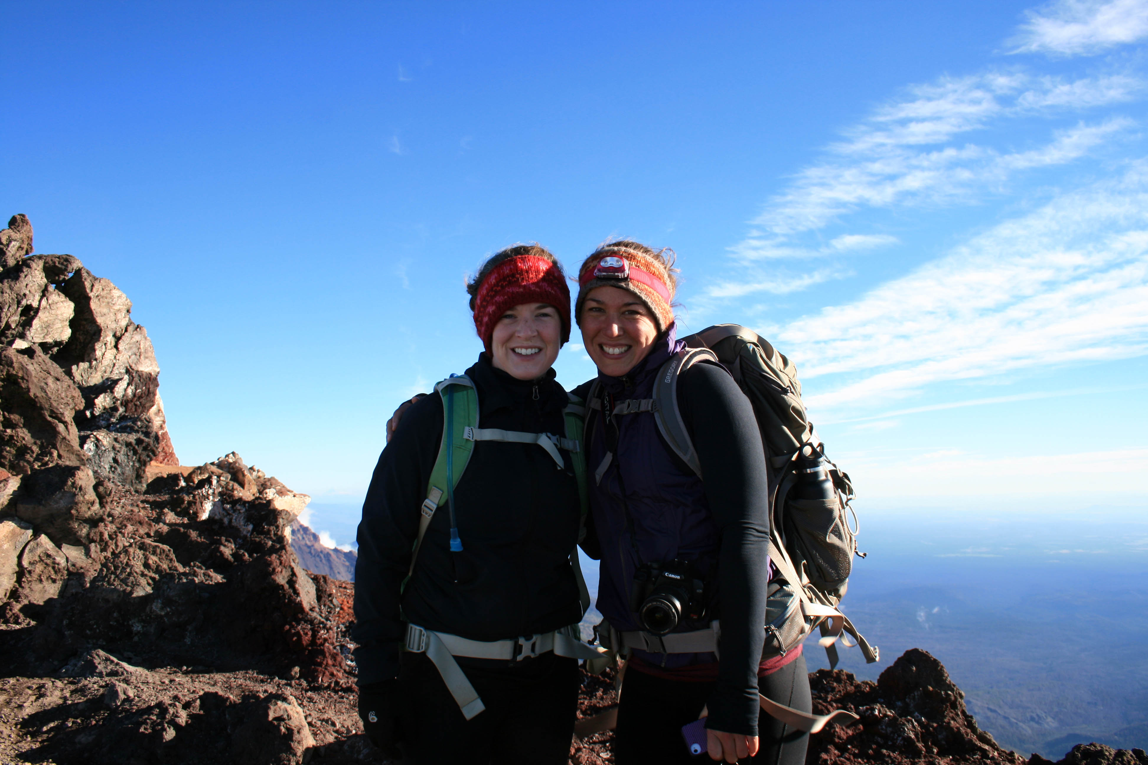
I love scree!!! Oh wait, no I don’t. I hate it. It freaks me out! And the summit trail is mostly scree…loads and loads of loose volcanic rock. I definitely had to suck it up and resist the urge to turn around. My fear of falling was overpowering…I’m not truly afraid of heights; I’m afraid of tumbling down a hill. Anyway, I eventually made it to the top, probably 20 minutes after Angie and Steve. They patiently waited for me while there fingers, hands, limbs, and faces froze. The view was beautiful from the top, but it was bitterly cold and even operating the camera was a challenge.

South Sister Summit Autumn and Angie

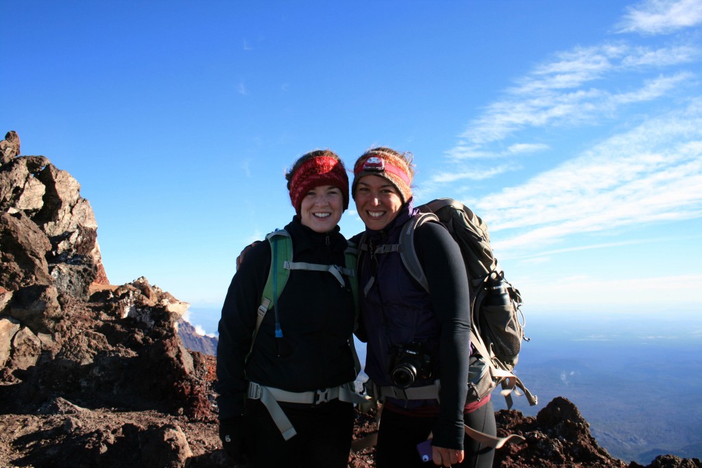
Angie and I took a quick pic before hustling down the mountain to get warm.

Anyway I’m happy to check the South Sister off of the list, but I’m not exactly jumping at the chance to do it again. Will I do it again? Probably, but I need to forget about all of that scree before I even consider it…lol. Maybe they could build some stairs and a put little hot chocolate shop on the summit? Just kidding….it was beautiful, it just so happens that it was really challenging too.

South Sister Steve

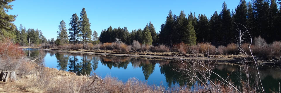
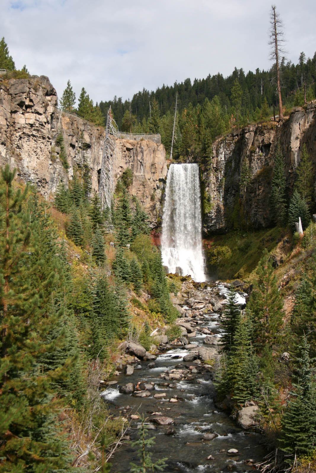
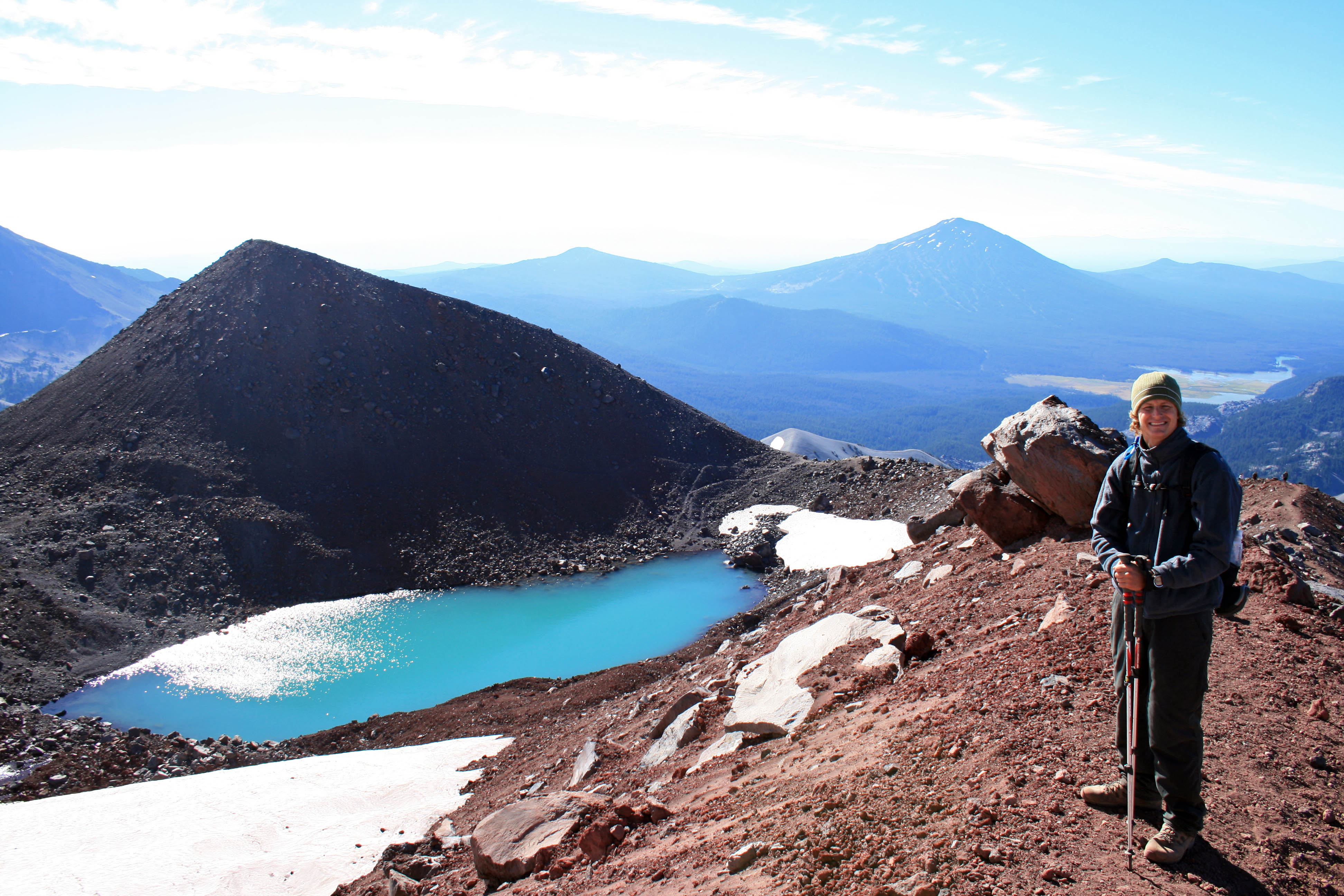
Beautiful lake on the way down from the summit…maybe Tear Drop Lake?

South Sister

Check!!!


Notes: Pack your layers. I wore a tank, a Smartwool Midweight top, a vest, a lightweight jacket, leggings, thin gloves and a fleece headband. Honestly, I wish I had brought my Patagonia Down Sweater too. I was fine in boots with no gaiters, but I went fairly slowly. My trekking poles also came in handy, but like I said I was going slow. I saw some people running down in tennis shoes. Pack your sunscreen and sunglasses too. You will definitely need them as there isn’t much shade on the trail until below Moraine Lake.

Resources

Everytrail.com provides a play by play trail guide


Snorkeling with Sharks at Wayag Island


We had an awesome time snorkeling with these sharks in Raja Ampat. When we pulled up to the dock at Wayag Island these guys were already cruising in the shallows… obviously they are used to the presence of humans, but they were still curious and a couple of times they got a little closer than I would like. But what an amazing experience.

Thank you Deni and the Raja Ampat Adventures crew!

Sauraha’s Elephant Breeding Center

They must be doing something right at the Elephant Breeding Center because there were quite a few little elephants running around….some of them a little naughtier than others.

Baby elephant at Elephant Breeding Center, Sauraha, Nepal

This little guy wasn’t chained up and was “hamming it up” for all the visitors.

Chitwan Elephant Breeding Center follow the leader

Follow the leader.

The Elephant Breeding Center is a short bike ride from “downtown” Sauraha and it’s a pretty bike ride too…through rice paddies and traditional villages. A glimpse into Nepali life.

Nepal Chitwan Rice Paddy

Rice Paddy on the way to the breeding center.

Nepali Girl Feeding Chickens, Sauraha

Feeding the chickens.

GIrls at the river Chitwan

I have no idea what these girls were gathering, but they were at the river the entire time we were at the elephant breeding center.

And there is a fun bridge you get to cross too.

Bridge at the Elephant Breeding Center in Sauraha

The bridge crossing to get to the Breeding Center

If you’re planning on going to the breeding center make sure you go at feeding time. During the day the elephants head out to the fields to eat, collect feed, etc. I don’t even think they’ll let you in to the center outside of feeding time, so ask around about the schedule. I feel like we went in the late afternoon. It’s pretty fun to watch the babies eat….they get food everywhere.

Elephant breeding center feeding

Messy elephant!!! Food all over the place….just like a human baby.


A bike rental for a couple hours should only be a dollar or two (remember to bargain) and the entrance to the center is pretty cheap too…just a couple of bucks, but I don’t remember the exact amount.

Royal Chitwan Wildlife Safari

For some reason I thought being on a “safari” meant sitting on your ass with binoculars in hand…..”safari” in Nepal means something completely different…it means getting close to dozing rhinos (don’t worry if you’re upwind or is it downwind?), chasing after sloth bears (why are we running?) and napping in head high grass (are we baiting tigers with our own bodies?)….somehow I lost my ability to keep my own safety in mind. I’m sure our guides were perfectly capable of protecting us with their walking sticks.

Rhino Chitwan NP

Hello Rhino…we’re friends right?

Well…we picked the worst day of the year to go on safari….it poured, and I mean poured. We were soaked within minutes, maybe even seconds… and this was within the first hour. Apparently when it’s cool the animals don’t like to come out. Fortunately, this “friendly” rhino caught our attention when we were on our 2 hour canoe trip…we also saw a couple of spotted deer, a crocodile, and a handful of peacocks.

Nepal4ChitwanSafariDeer

Spotted Deer at Chitwan National Park

Between storms we took breaks at a couple of different places….one was a viewing platform set high above the grass complete with sloth bear scat!!! Maybe it was from the same sloth bear we saw in the forest. Anyway, the sky eventually cleared and we were able to walk through the grass plains in search of animals.

Chitwan Elephants

A male elephant escaped form the Breeding Center, so we saw a few different groups of Park Rangers out with their elephants searching for him.

Although the Terai grasslands started to heat up in the afternoon sun, the animals weren’t coming out…and we searched high and low.

Chitwan Angie and Steve

We aired out our feet…

Our guide in a tree at Chitwan National Park

while our guide climbed a tree.

With no luck in the grasslands we headed back into the forest to search some more….then we went to the river to search some more….no tigers, but I was pretty thrilled to see all the other cool animals in the wild: rhino, sloth bear, peacocks, crocodiles and spotted deer.

I wish I could have gotten a picture of the sloth bear. Unfortunately it is hard to focus a camera while running though the forest at a moving target. Sloth bears are even more rare than tigers in the park…in fact, there are so few and they’re so elusive that they aren’t sure how many are still around. (NOTE: Sloth bear does not equal Sloth)

Red Cotton Bug at Chitwan National Park, Nepal

Red Cotton Bug

Rhino at Chitwan National Park, Nepal

Rhino!!!

Note: Headed to Royal Chitwan National Park? All the accommodation within park bounds is now closed. There are TONS of places for EVERY budget in Sauraha. We stayed at a cheapie called Wendy’s on the road into town for about $5/night for 3 people. Our room was definitely spacious, but was unbearably musty, but we didn’t spend much time in our room anyway.

Also: We booked our guides through the guide cooperative. We had two guides, both were very knowledgeable and the younger of the two had great eyes. He could spot animals from really far away.

Also, bring some money for a tip….the guides will suggest you tip the boatman (a couple hundred rupees will do) and if your guides do a good job, they’ll appreciate the extra money too.

Also, pack your Rain Jacket and make sure it is actually waterproof, my Nepali made “North Face” that I picked up in Pokhara after a mouse chewed through my Patagonia jacket held up surprisingly well, while Steve’s Columbia Jacket was soaked through within minutes. Be prepared for mud and puddles too. All of our boots held up pretty well….our feet got wet, but it was from the rain running down our legs and filling our shoes from the top….wish I had rain pants too…lol.