Last year, as I was planning our 6 month honeymoon through Southeast Asia, I stumbled upon a hike in Gunung Mulu National Park called “The Pinnacles”… and I’m pretty much always coming up with “great” ideas that involve doing really stupid s#!t, this may have been one of them. I saw the video, I read the reviews, I even contacted the national park, and yet I still wanted to do the hike. So the persuading began… I may have left out a few of the details when trying to convince Steve and Angie that “yes” this would be a great experience and that “no” we weren’t going to die.
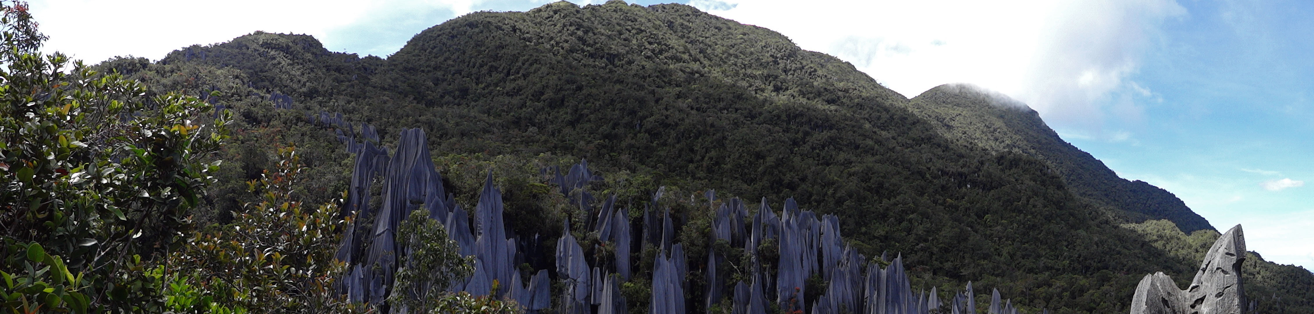
A little pano pic of the Pinnacles
After 6 weeks in Nepal we were definitely craving some beach time, but not before one last mind bending “hike” deep in the heart of Borneo. We took a MASWings flight from Miri to Gunung Mulu (which you can book online ahead of time for about $50-60USD roundtrip). As we descended into Mulu we could see the emerald colored mountains all around us. We stumbled out onto the tarmac and were immediately hit with the tropical humidity. I couldn’t help, but smile and think “finally!!!”
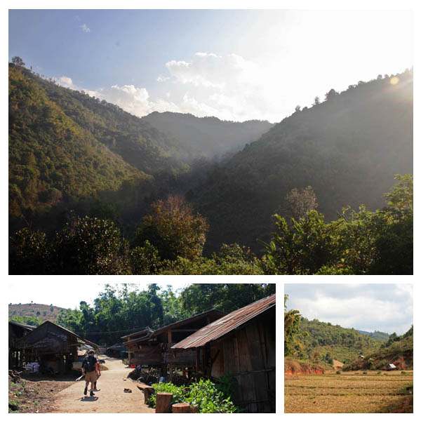
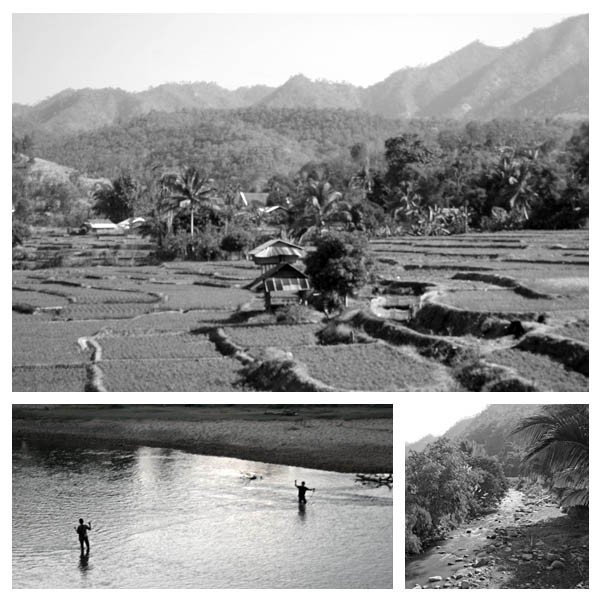
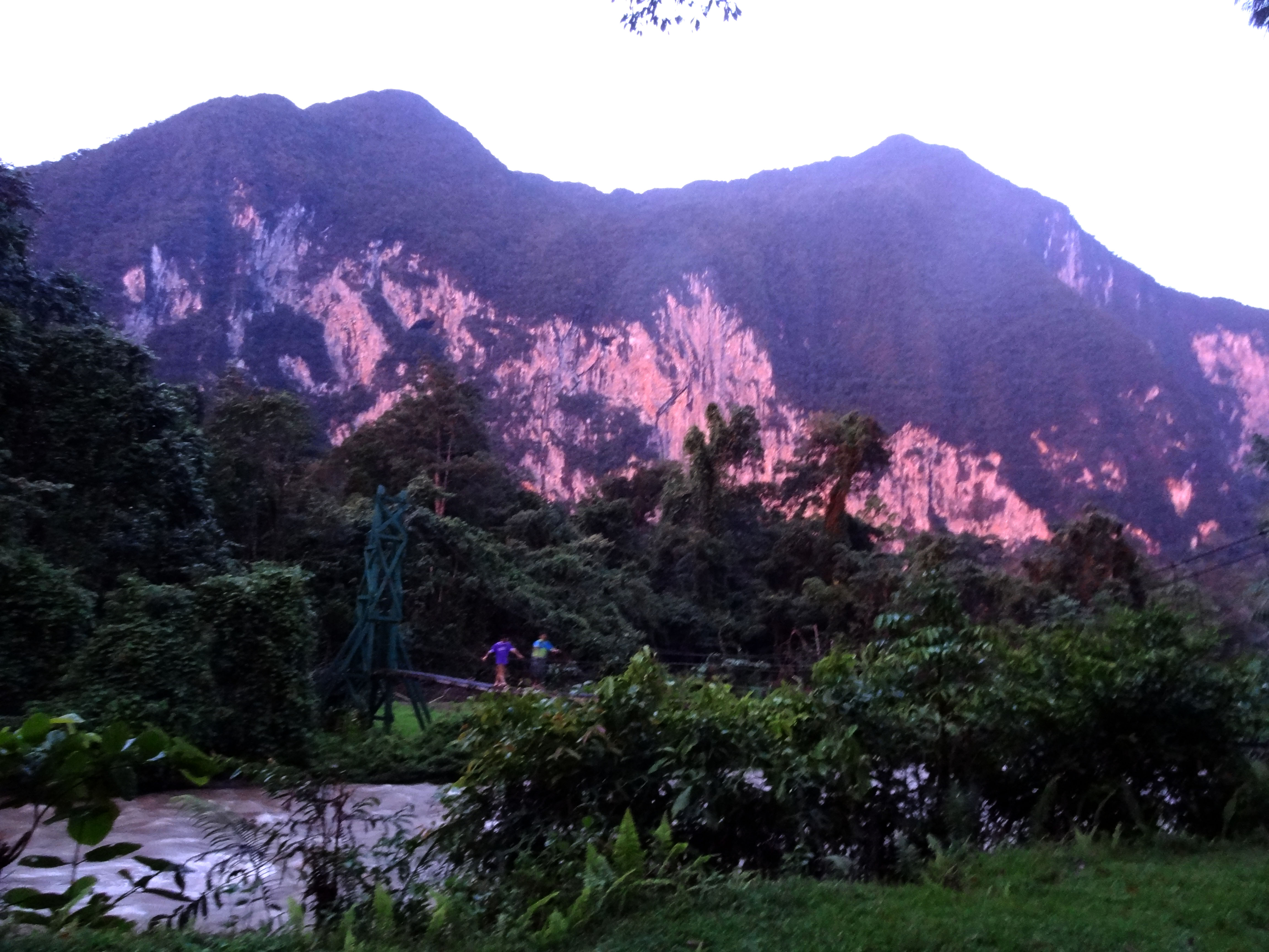
From the airport it’s probably only 1.5 miles to Gunung Mulu National Park and the homestays (although there is a homestay on the airport road and a resort further passed the turnoff to the park). We stayed at the cheapest homestay, duh, we’re cheap asses. It was SWELTERING, but we were right on the river and they had a toilet and shower inside. It was enough for us: it was a short walk from the park entrance and a couple of restaurants.

The view from our guesthouse…not too bad for $5 or $10 bucks a night
There is NO market in Mulu. All of your food will be had at your homestay, or one of the restaurants (when they are open). Make sure to bring food from Miri to Mulu, or you will live on crackers, cookies and noodles for the three days of the trek. We didn’t know this cucial detail and the only place to get pre-packaged snacks/noodles was the gift shop. Beer is fairly expensive around the park, but we didn’t care. We were slugging down beers and doing shots of rice “whiskey” in no time.
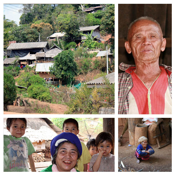
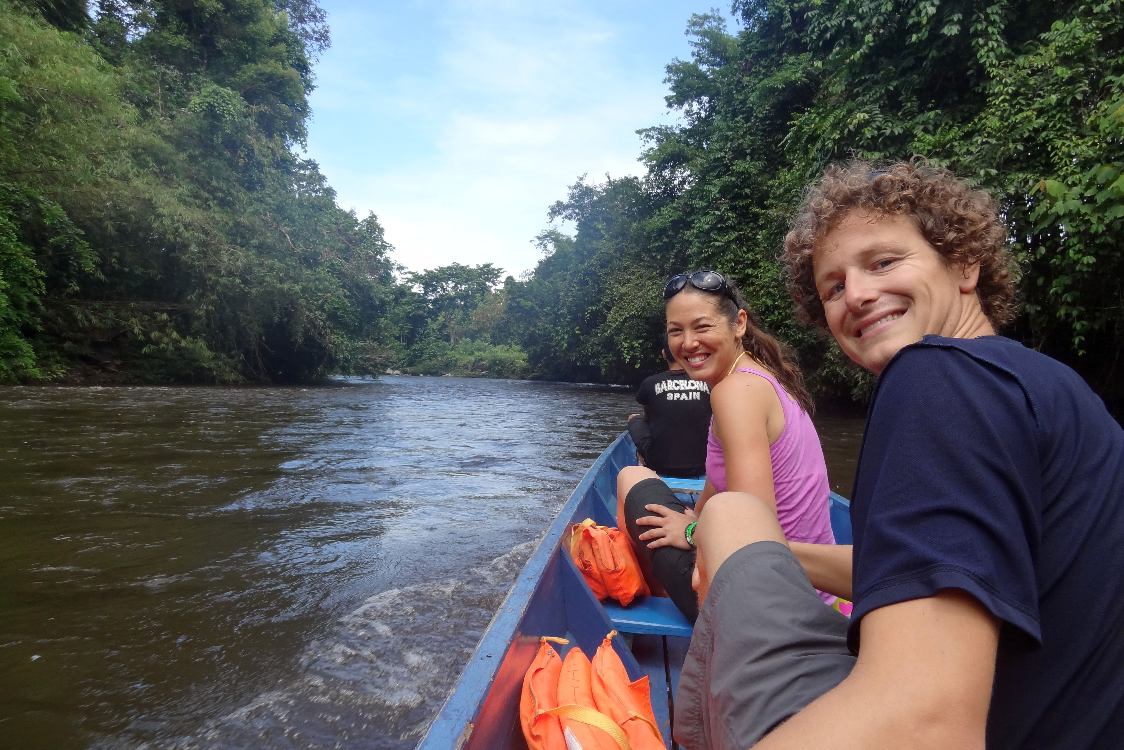
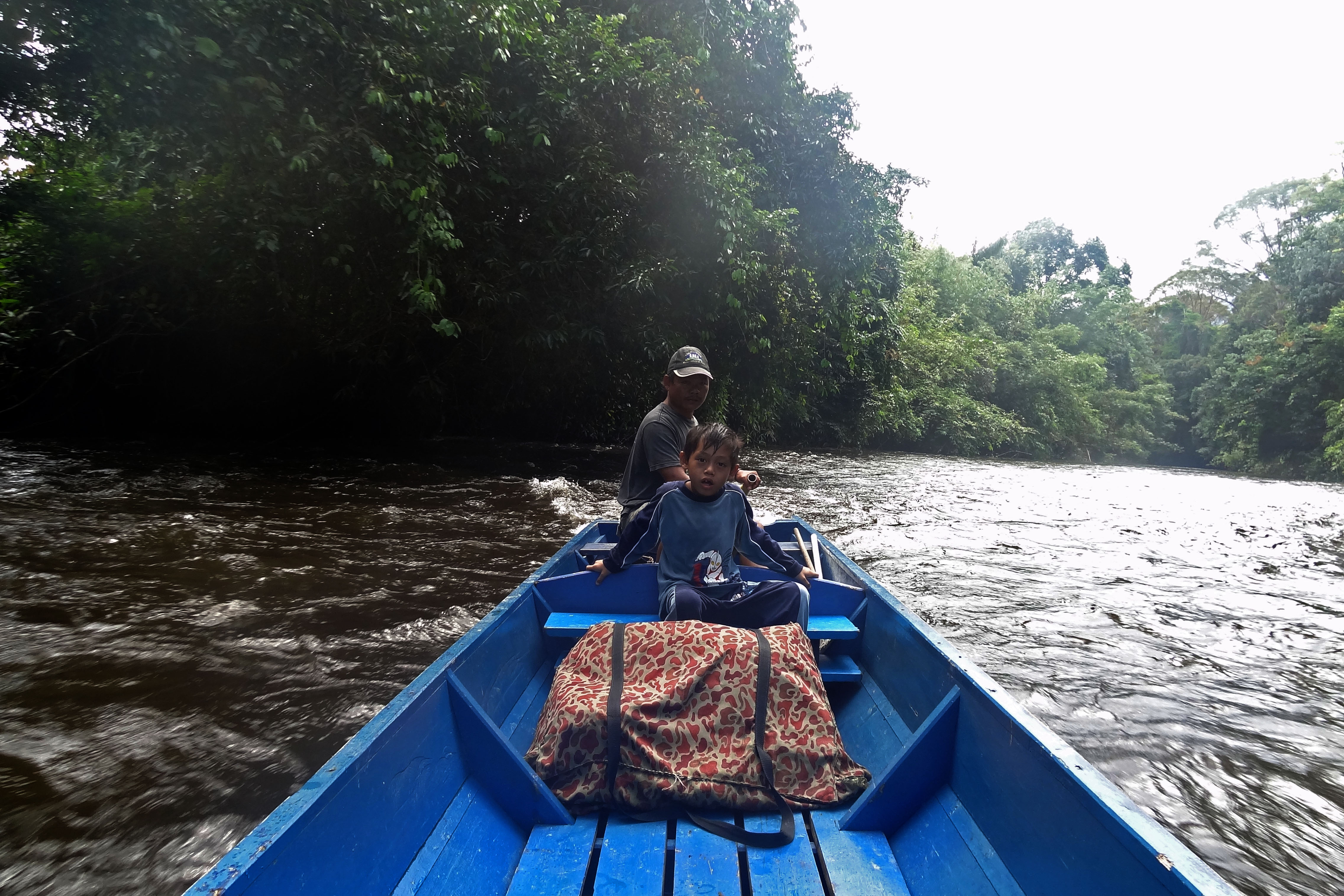
You know a trek is going to be awesome when it begins with a trip upriver in a dugout and your guide tells you that you might have to get out to help push the boat upstream. Part of the Pinnacles “package” includes a trip to a “traditional” village to do some “shopping”…. which was pretty uninspiring, but we also visited one of the caves. I don’t remember the name of it (I know it’s part of the Clearwater Cave System). If you’re into caving Gunung Mulu has tons of options from easy beginner trips to advanced caving trips. I was able to get a few neat pics from inside the cave, but we didn’t come for caves.

Thankfully the Malaysians aren’t as tacky as the Vietnamese when it comes to lighting the caves…no neon disco lights here.
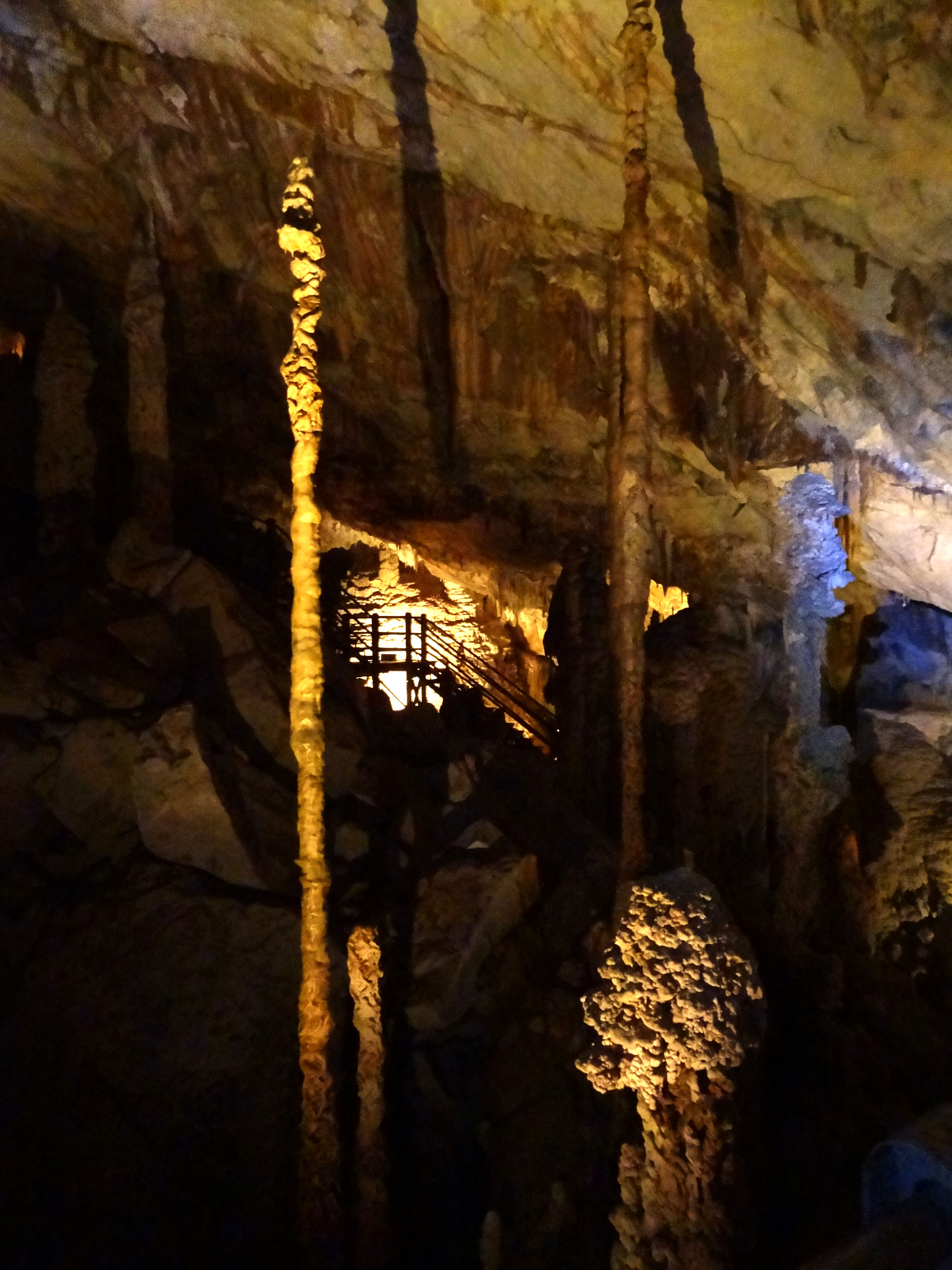
More stalagmites
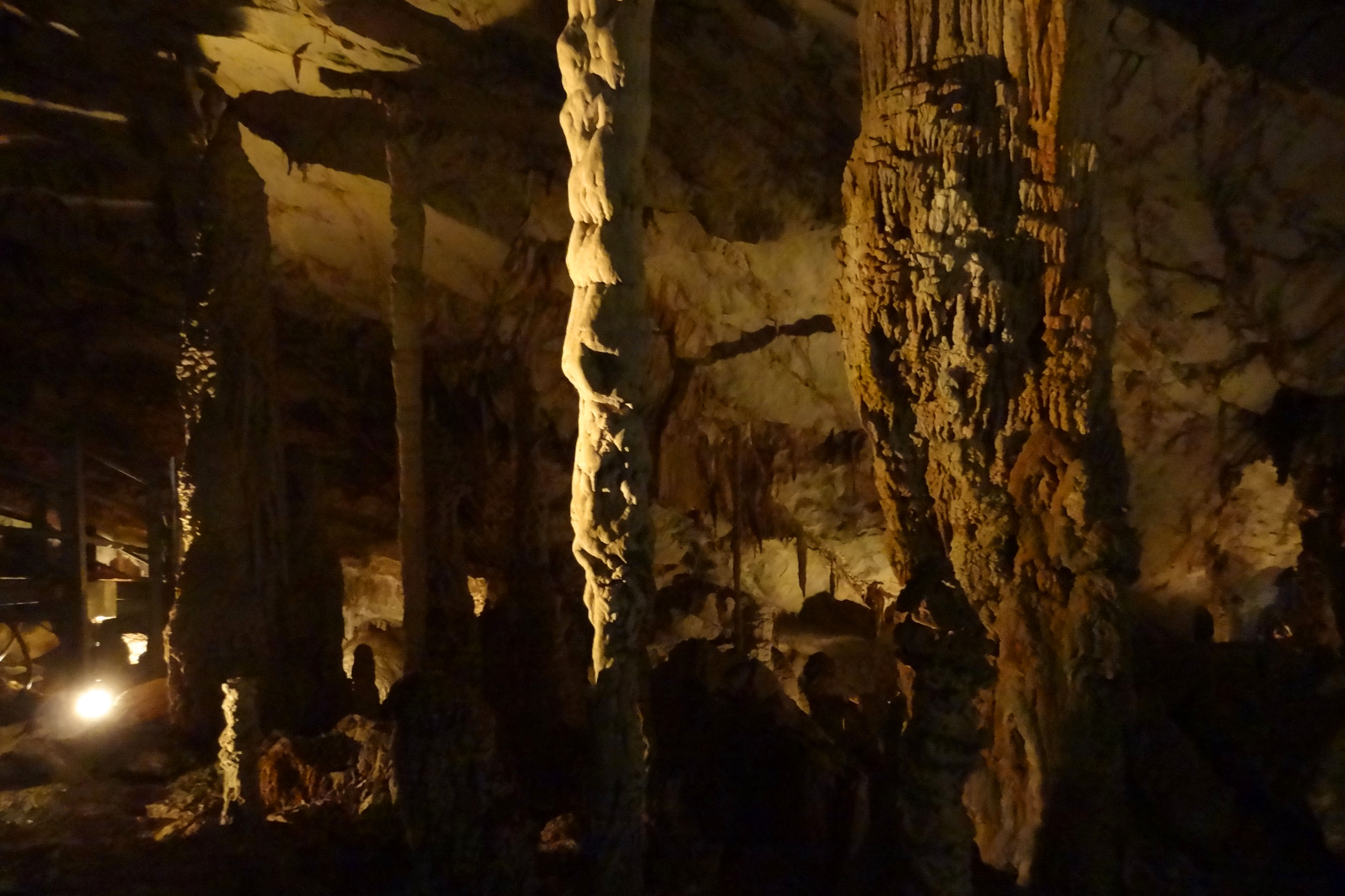
Awesome formations everywhere!!!
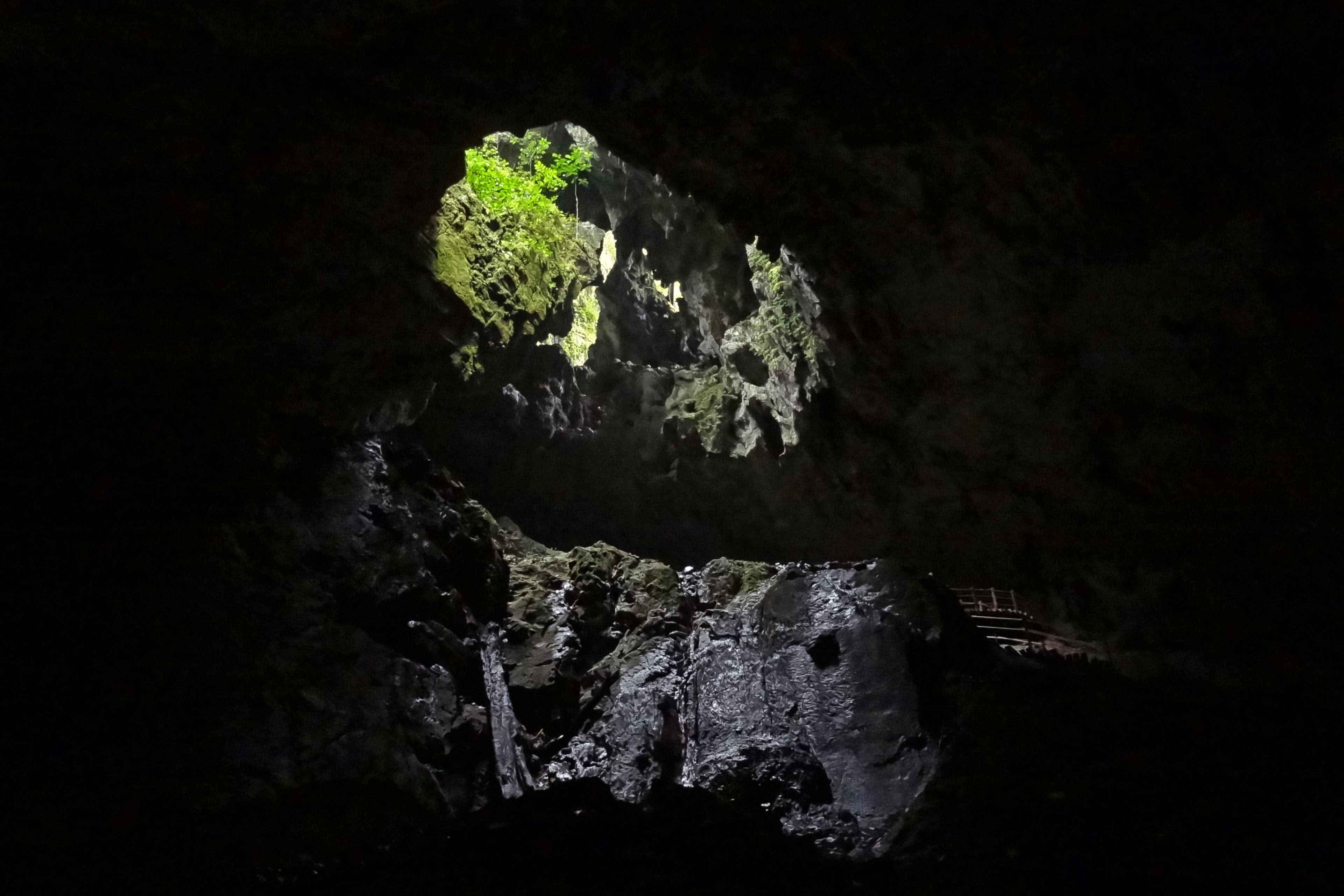
Skylight
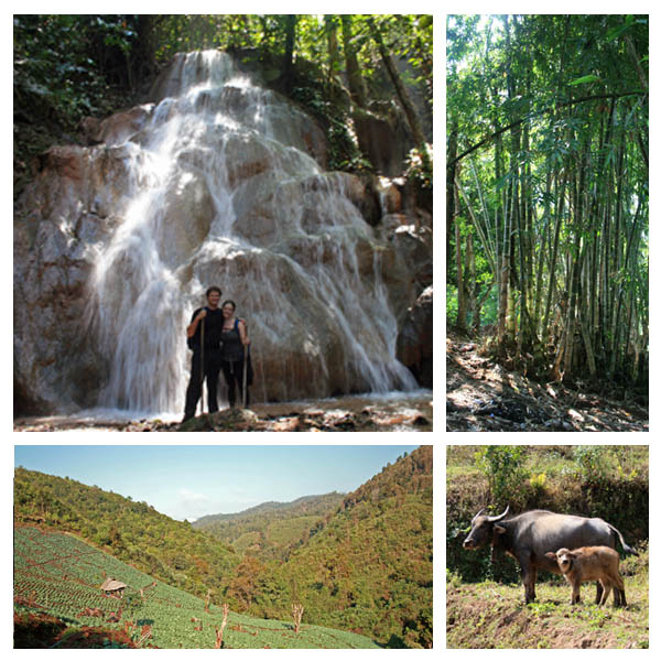
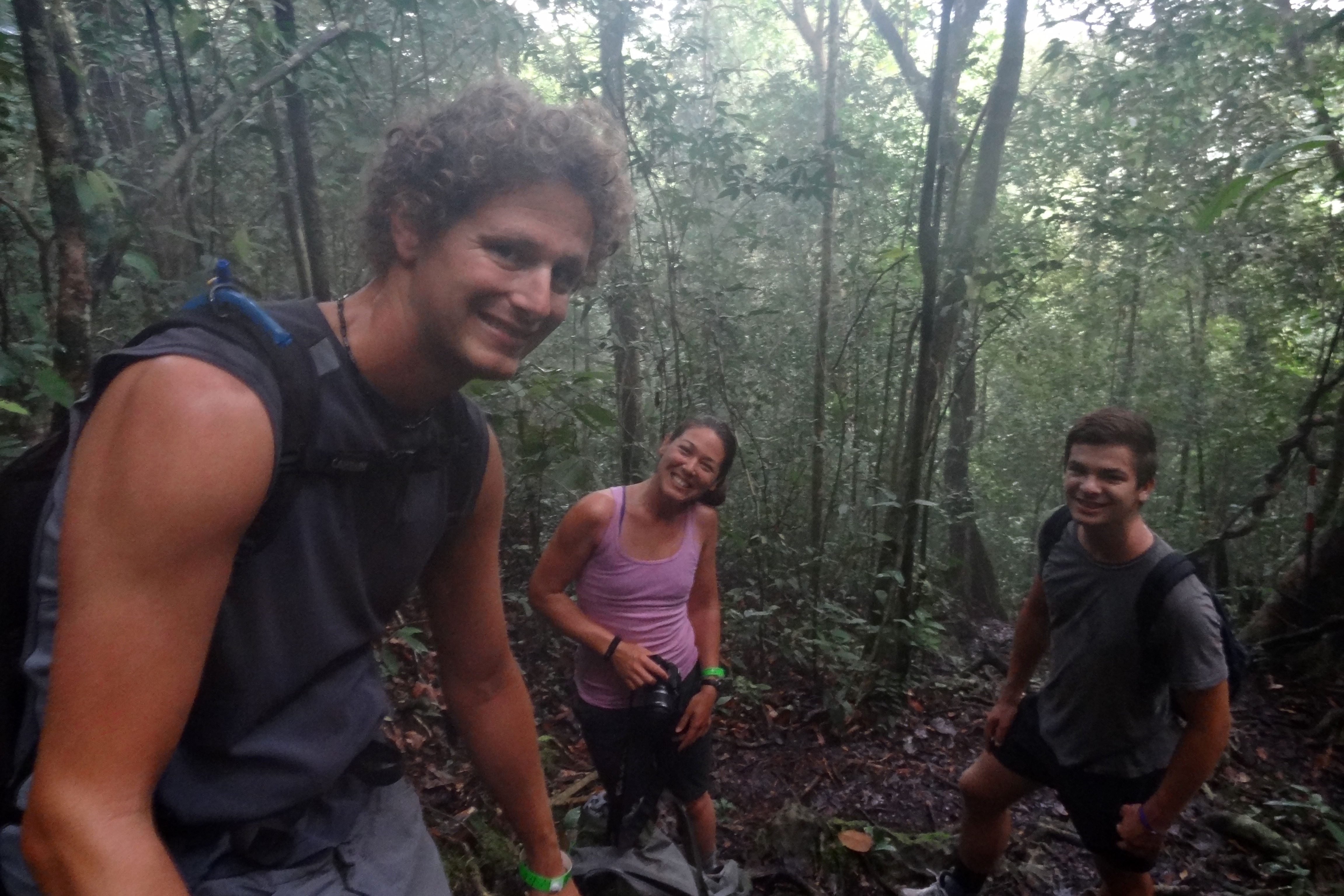
We continued up the river a bit further to our drop off point and the beginning of our 8-9 km trek to Camp 5. The trail to Camp 5 is well-marked and completely flat, so we had plenty of time to gawk at trees and bugs.

Typical bridge along the trail…it took a little getting used to
We got into Camp 5 around mid afternoon and had time to take a dip in the very cold river. Unfortunately a storm came in that evening, so our clothes didn’t get a chance to dry out, the river swelled (no more swimming), and one of the couples that was part of our group finished their hike in the rain. Rain in the jungle means only one thing: LEECHES!!!

A view of the canopy…I was always looking up into the canopy for birds, bugs, monkeys, etc.
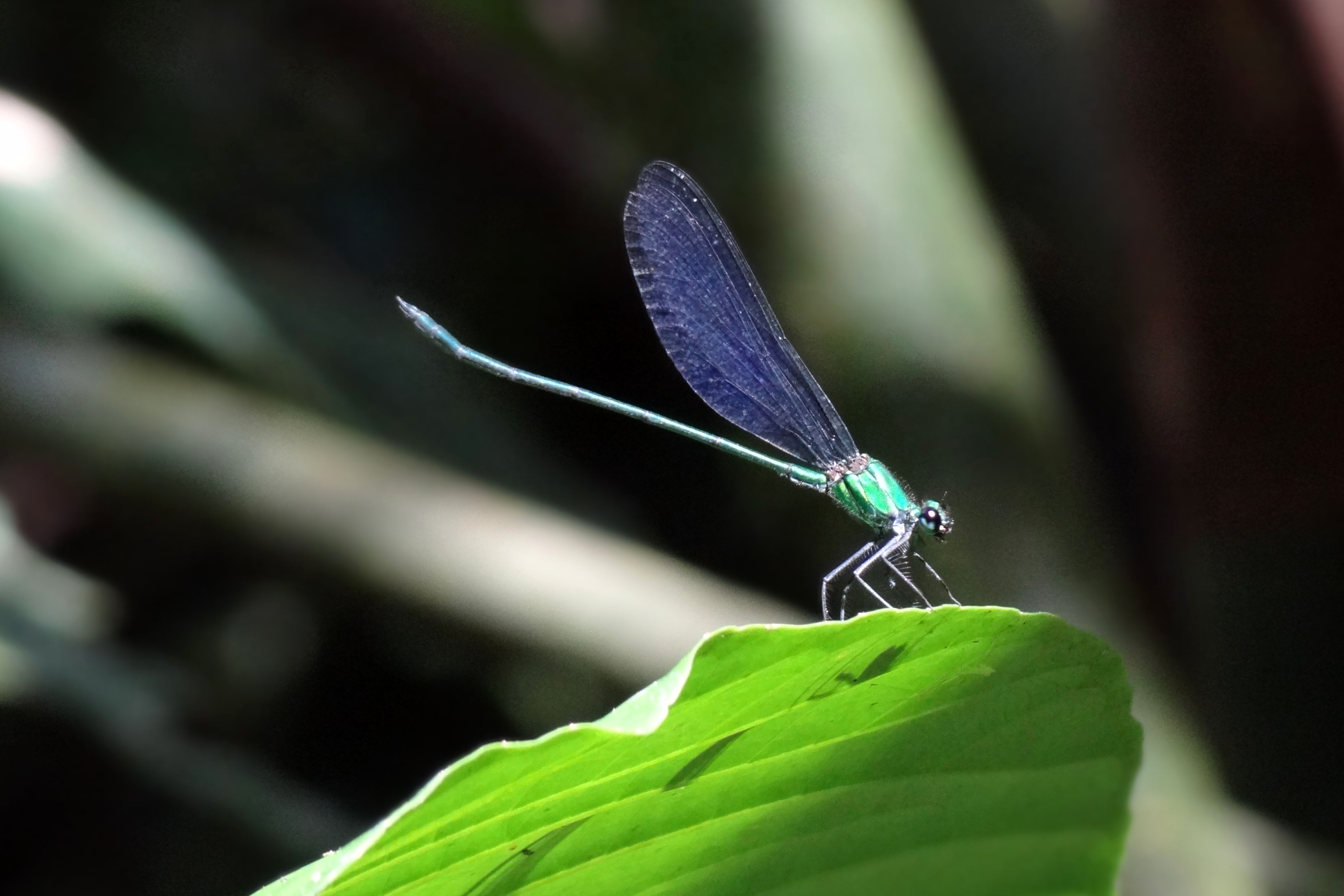
Yep, I took this dragonfly pic.
Day 2 is when our little jungle trek got really crazy. Our guide told us flat out that we would know if the hike was for us within 200 meters of starting out (that’s when you come to the first rock face) and that he would turn us around if we didn’t make it to the “little pinnacles” by 10 or 11.

Woohoo…we made it to the Mini Pinnacles before the cut off time… time to stash water for the trip down
Already sweaty, but loving every minute of it.
We started out strong, using our hands to pull ourselves up, trying not to trip or slip on roots. I don’t think you can call this trek a “trek” or a “hike” because half the time you’re using your hands to pull and push your way up. Ropes are available in the tricky spots (which we didn’t really need on the way up), metal beams connect limestone crags, and probably about 15 ladders are in place to assist you on your way up. Don’t expect your guide to help you, he won’t. He’ll wait for you at the top. It took us about 4 hours to reach the viewpoint, and it was totally worth it. The pinnacles look like skyscrapers jutting out through the jungle canopy.
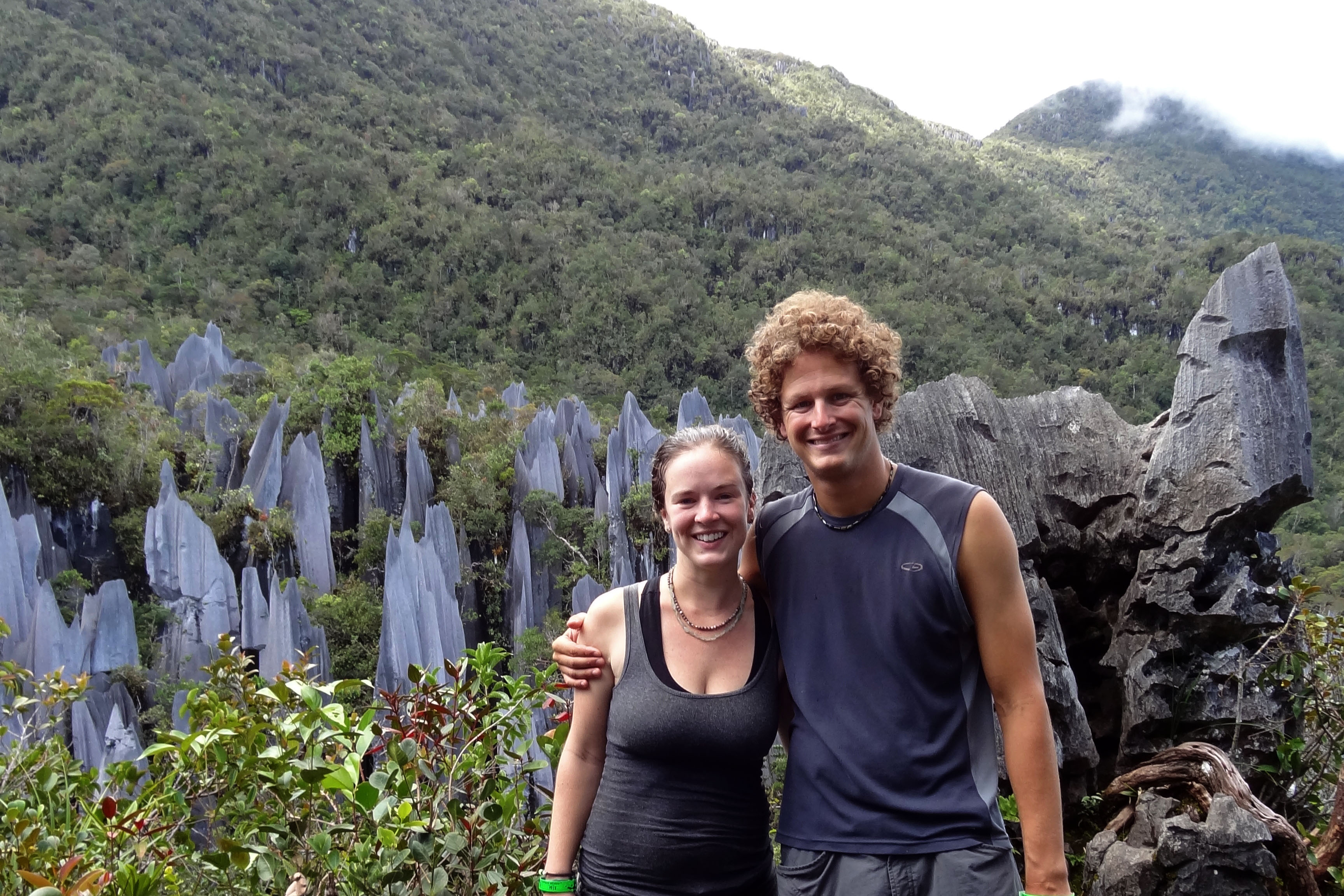
Victory!!!!
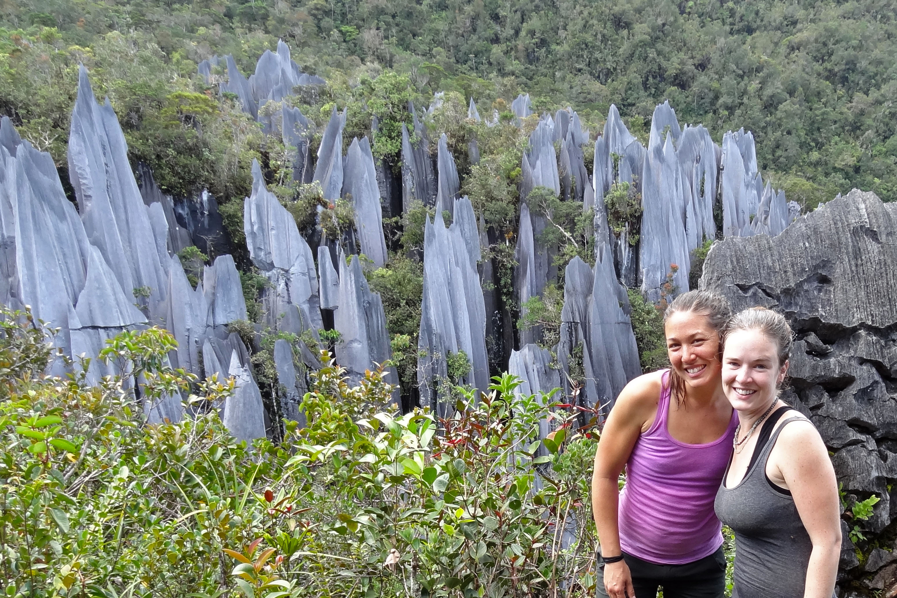
Us sweaty girls pose for a picture….
And now the really fun part…. going down the way you came up. Blah….my heart races just thinking about it…. turning around on top of sharp limestone rocks to lower yourself over the edge, desperately trying to find footholds, avoiding slippery roots and neon pit vipers. Yeah, they don’t tell you about the pit vipers. On our way down we saw one on a ledge just above the trail. I was too freaked out to take a picture…. Coming down from the Pinnacles is about the last place I would ever want to be bit by a pit viper.
I fell…I fell a few times, so did Steve. It started to rain on the way down, nothing crazy, but just enough to make the roots extra slick. I felt like I used my hands just as much on the way down as on the way up, lol. It took us probably about 4 hours to get back down. It was a long, long day…the trail climbs 1.2 km in 2.4 km, it was just silly, but I would do it again in a heart beat.
We stayed a second night at Camp 5 where we met Nye and Mauro, who became our travel mates for the rest of Borneo. This was also our first experience with the Hash House Harriers….drinking and running….sounds like a good idea!!!
Made it back in time to enjoy the sunset at Camp 5.
The morning of Day 3 we wished Nye, Mauro and the Hash House Harriers good luck on their climb, while we set off to finish the remaining 8-9 km of our trip as we headed back to our pick up point on the river.
Off we go…. back to civilization… kind of
Our guides
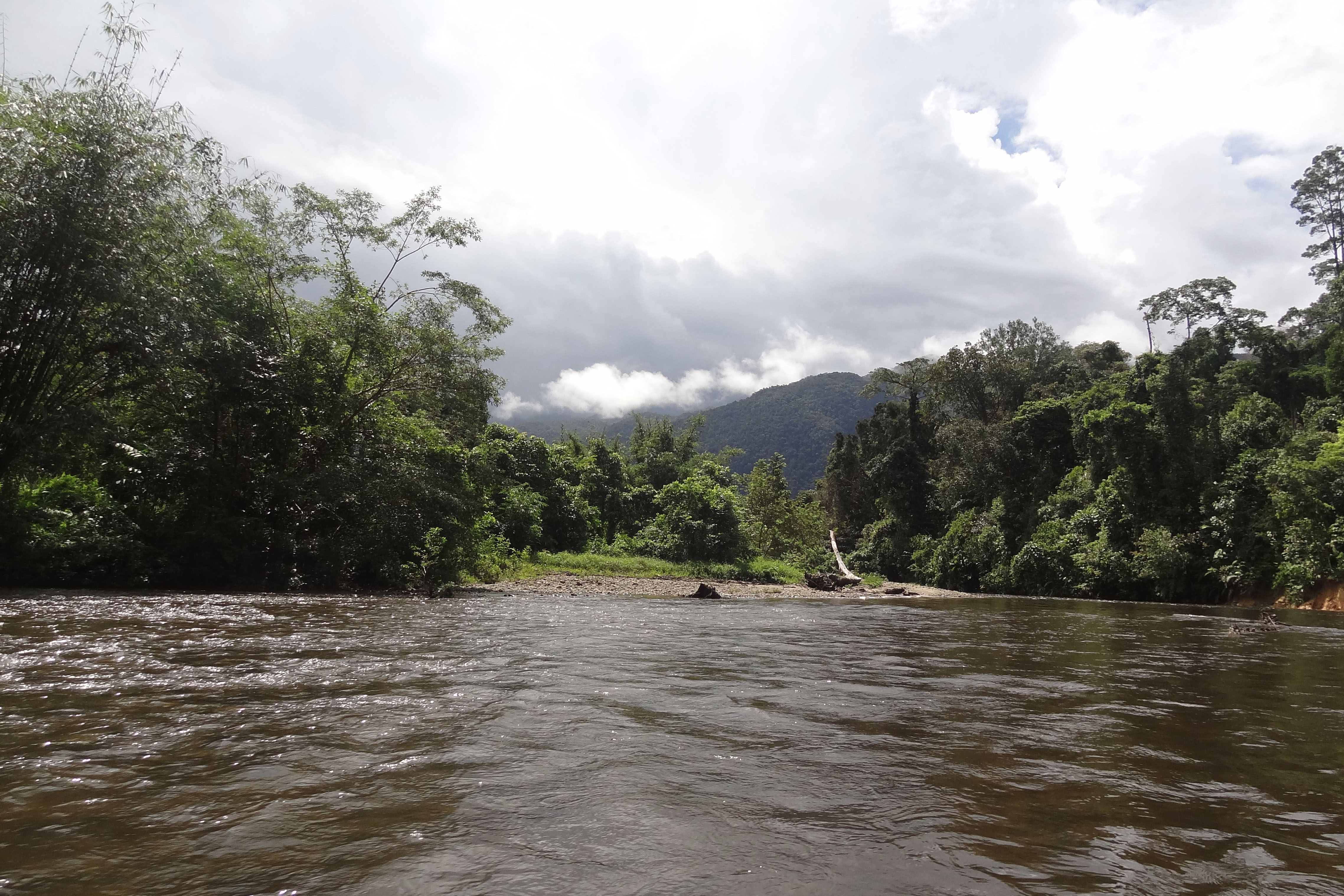
Our trip downriver was much easier than our trip up river… more water = less pushing
I didn’t take any pics during the hike…the jungle was too steamy and I didn’t want to completely destroy my camera, but Steve did take some video…. mostly of my sweaty pants… I’ll apologize now. Steve’s GoPro has been put to work this year. I think about how many times it’s been dropped, banged into trees etc. and it still keeps working!!!
If you’d like to see pics from near headquarters I have a few pics here.
I haven’t written too much about Borneo yet, but it ended up being one of our favorite places on the trip. And I can’t wait to get back!!!